


The Lancashire Fylde Coast extends from the approaches to the Ribble estuary northwards towards Fleetwood, with a broad frontage of sandy shore, shifting tidal flats and comparatively shallow inshore waters. From a seaward perspective the coastline is defined less by natural harbourage than by engineered access points and estuarine channels, with navigation often constrained by tide, sand movement and the long fetch of the Irish Sea. Maritime activity here has historically been concentrated at Fleetwood and, to a lesser extent, the Ribble-side ports serving Lytham and St Annes.
Fleetwood developed in the nineteenth century as a purpose-built fishing port, planned with deep-water access to support an expanding distant-water trawling fleet. By the mid-twentieth century it had become one of the principal North West fishing centres, with vessels working grounds off Iceland, the Barents Sea and the northern Atlantic. Although the scale of the deep-sea fleet has diminished markedly, the port retains working fish-handling operations and ancillary services, and elements of fishing culture persist in maintenance yards, small-scale operators and shore-based processing. The harbour entrance remains tide-restricted, and local knowledge of sets, silting and weather windows is still essential for safe passage.
Southwards along the coast, the Ribble estuary forms a broad, shifting system of channels and sandbanks, historically difficult to maintain for consistent navigation. Lytham and St Annes have long functioned more as sheltered landings and leisure craft points than commercial ports, though small-scale inshore fishing and shellfish gathering has been recorded in the wider estuarine area. The sands here are extensive and mobile, with tidal exposure significant and channels liable to change after storms, requiring caution for any craft venturing close inshore. The wider coastline offers no natural deep-water refuge between Fleetwood and the Ribble approaches, reinforcing the importance of local tidal awareness.
Maritime customs along this stretch have been shaped by both working fisheries and the development of coastal resort infrastructure in the nineteenth and early twentieth centuries. At Fleetwood, the fish market traditions remain a defining element of daily working practice, with early-morning landings and auction routines forming part of the port’s rhythm. Lifeboat services have an established presence at both Fleetwood and Lytham St Annes, operated by the Royal National Lifeboat Institution, reflecting the exposed nature of the Irish Sea coast and the number of historic incidents involving fishing craft, pleasure vessels and stranded traffic on the sands.
Along the Blackpool frontage, maritime practice is less industrial and more associated with the maintenance of seawalls, piers and navigation hazards rather than active port work. The three main piers historically served excursion steamers and coastal ferries, though commercial sailings have long ceased. The Illuminations, an extensive seasonal lighting installation running along the promenade, represent a distinct form of coastal public infrastructure rather than a seafaring tradition, but they have become embedded in the identity of the working waterfront as an annual operational feature requiring coordination with coastal maintenance and visitor safety management.
Recreational sailing and club-based activity persists in a modest form, particularly around Lytham St Annes Sailing Club, where dinghy sailing is constrained by tidal range and soft-bottomed foreshore conditions. Regattas and club racing are typically organised around tidal states rather than fixed timetables, reflecting the dominance of tidal planning in all local maritime activity. Offshore, the Irish Sea remains a busy transit corridor for commercial shipping, including traffic bound for Liverpool and the approaches to Morecambe Bay, which indirectly influences coastal watchkeeping practices and port coordination.
In modern terms, the Fylde Coast retains a layered maritime character: a reduced but continuing commercial fishing presence at Fleetwood, estuarine navigation challenges on the Ribble approaches, and a strong reliance on engineered coastal defences and lifeboat coverage. While the large-scale industrial fishing era has declined, its operational habits and shore routines remain visible in port practice, and the coastline continues to require practical seamanship awareness rather than purely recreational use. The result is a coastal strip where historical working patterns persist in modified form alongside contemporary leisure and maintenance functions, all shaped by tide, sand movement and exposure to the Irish Sea.
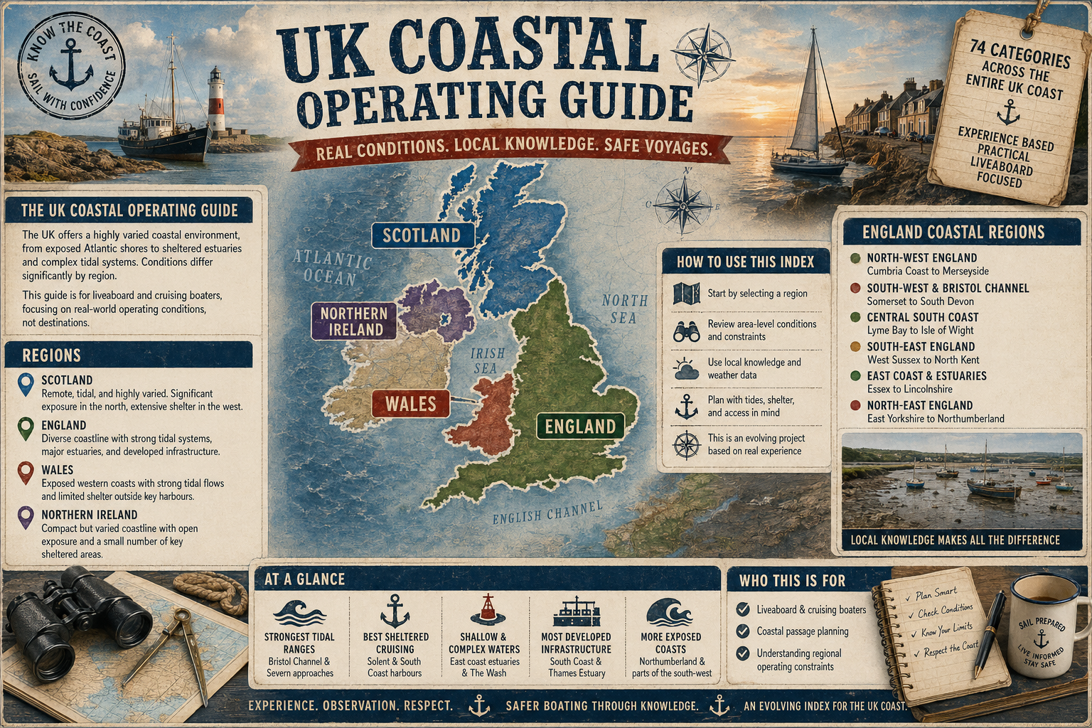
- The UK Coastal Operating Guide
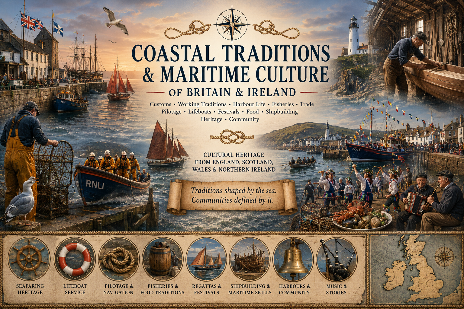
- Coastal Traditions & Maritime Culture of Britain and Northern Ireland
- Coastal Myths & Legends of Britain & Northern Ireland

Comments