Durham Coast
Overview
The Durham Coast forms a relatively short stretch of the North Sea shoreline in north-east England, extending between the Tyne and Tees approaches. It is characterised by low cliffs, former industrial frontage, and open sea exposure.
This coastline is generally not associated with extensive natural harbours. Its character is shaped by open water conditions, limited shelter, and a largely linear coastal profile with few interruptions.
Local Operating Context (for Liveaboard Boaters)
For liveaboard boating, the Durham Coast is typically considered a transit area rather than a destination for extended stays. Opportunities to remain offshore are often influenced by prevailing weather and sea state.
The coast offers limited natural protection, and boaters may need to plan movements carefully between more sheltered locations to the north and south. Anchorage options are generally constrained.
Tidal streams in the wider North Sea area can influence passage timing, though nearshore effects may vary depending on local seabed and coastal features.
Access to shore is not always straightforward, particularly along cliff-backed sections, and landing points may be sparse outside established river mouths or harbour approaches.
Typical Conditions
- Open exposure to easterly and northerly winds
- Sea state can build quickly in onshore winds
- Moderate tidal movement with local variation
- Reduced shelter compared to more indented coastlines
Access & Shelter
- Limited natural harbours along much of the coastline
- Some shelter may be found near river mouths, depending on conditions
- Cliff-lined sections restrict landing opportunities
- Conditions can change rapidly with shifting wind direction
Shore Interaction
- Access points are unevenly distributed along the coast
- Some beaches may allow landing in settled conditions
- Cliff areas limit direct access in many stretches
- Settlements are present but not always directly accessible from the water
Risk Factors
- Exposure to North Sea weather systems
- Limited emergency shelter options along the coast
- Variable seabed conditions affecting anchoring reliability
- Potential for surf and swell affecting nearshore operations
Overall Character
The Durham Coast presents a relatively exposed and functional passage zone with few natural refuges. It is generally approached with caution, particularly in unsettled weather, and is often navigated as part of a longer coastal transit.
Notable Locations
-
Seaham Harbour – A small harbour offering some refuge, though access and conditions may vary with weather and swell.
-
Hartlepool Bay – A broader coastal indentation with port approaches nearby, where conditions can differ from the open coast.
-
Blackhall Rocks – A coastal area with cliffs and limited landing options, indicative of the exposed nature of the shoreline.
-
River Wear Mouth – An entry point at Sunderland that may provide more sheltered conditions relative to the open coast.
Practical Mooring & Anchorage Locations
Seaham Harbour
- Type: Harbour
- Shelter: West through to south-west winds
- Exposure: Easterly and north-easterly swell can enter the harbour entrance in strong conditions
- Key Constraints: Limited visitor berths; swell conditions can affect entry; tidal state influences manoeuvrability
- Traffic Level: Medium
- Liveaboard Suitability: Medium
- Notes: Small working harbour with some sheltered berthing options. Conditions can become uncomfortable in onshore winds.
Sunderland (River Wear / City Marina)
- Type: River Mooring / Marina
- Shelter: Well sheltered from most directions once inside the river entrance
- Exposure: Entrance can be affected by easterly swell and strong tidal flow
- Key Constraints: Bar and river entrance require timing with tide; commercial traffic in lower reaches
- Traffic Level: High
- Liveaboard Suitability: High
- Notes: One of the more practical extended-stay options on this coastline. Strong urban river environment with good services.
Hartlepool Marina
- Type: Marina / Harbour
- Shelter: Excellent shelter from all directions within enclosed marina basin
- Exposure: Outer harbour entrance exposed to North Sea swell in easterly conditions
- Key Constraints: Lock entry dependent on tide and operating times; marina capacity can be limited in peak periods
- Traffic Level: High
- Liveaboard Suitability: High
- Notes: Established marina with strong facilities and long-stay capability. One of the primary leisure boating hubs on the Durham coast.
Hartlepool Bay (Outer Anchorage)
- Type: Anchorage
- Shelter: Limited shelter; marginal protection from westerly winds only
- Exposure: Open to easterly and north-easterly swell; uncomfortable in moderate to strong onshore winds
- Key Constraints: Holding ground varies; exposure limits overnight reliability; proximity to shipping approaches
- Traffic Level: Medium
- Liveaboard Suitability: Low
- Notes: Used only in settled conditions for short stays. Not a dependable long-term anchorage.
River Tees (Teesport / Teesmouth Approaches)
- Type: River / Port Approach
- Shelter: Good shelter once inside the river; exposed at outer approaches
- Exposure: Strong tidal streams and significant commercial shipping exposure at the entrance
- Key Constraints: Heavy industrial traffic; pilotage and navigation awareness required in port areas; tidal timing critical
- Traffic Level: High
- Liveaboard Suitability: Low
- Notes: Primarily a commercial port environment with limited recreational anchoring value. Suitable only for transiting or managed berthing.
Operational Support Infrastructure (Public Services)
Healthcare
Healthcare services are available within inland towns and urban areas along the coast, though not typically located directly at the shoreline.
Emergency Services
Coastguard coverage and emergency response services operate along this section of coast, with coordination extending across the wider North Sea region.
Postal Services
Postal facilities are present within nearby towns and settlements, generally requiring travel inland from coastal access points.
Civic Services
Local authorities manage coastal infrastructure, access points, and public services, though provision varies depending on the level of coastal development.
Visitor Information
Visitor information is typically available within nearby towns, rather than directly on the more exposed or undeveloped stretches of coastline.
Practical Notes for Boaters
This section will be developed over time based on direct experience and relevant contributions. The focus is on practical usefulness rather than completeness.
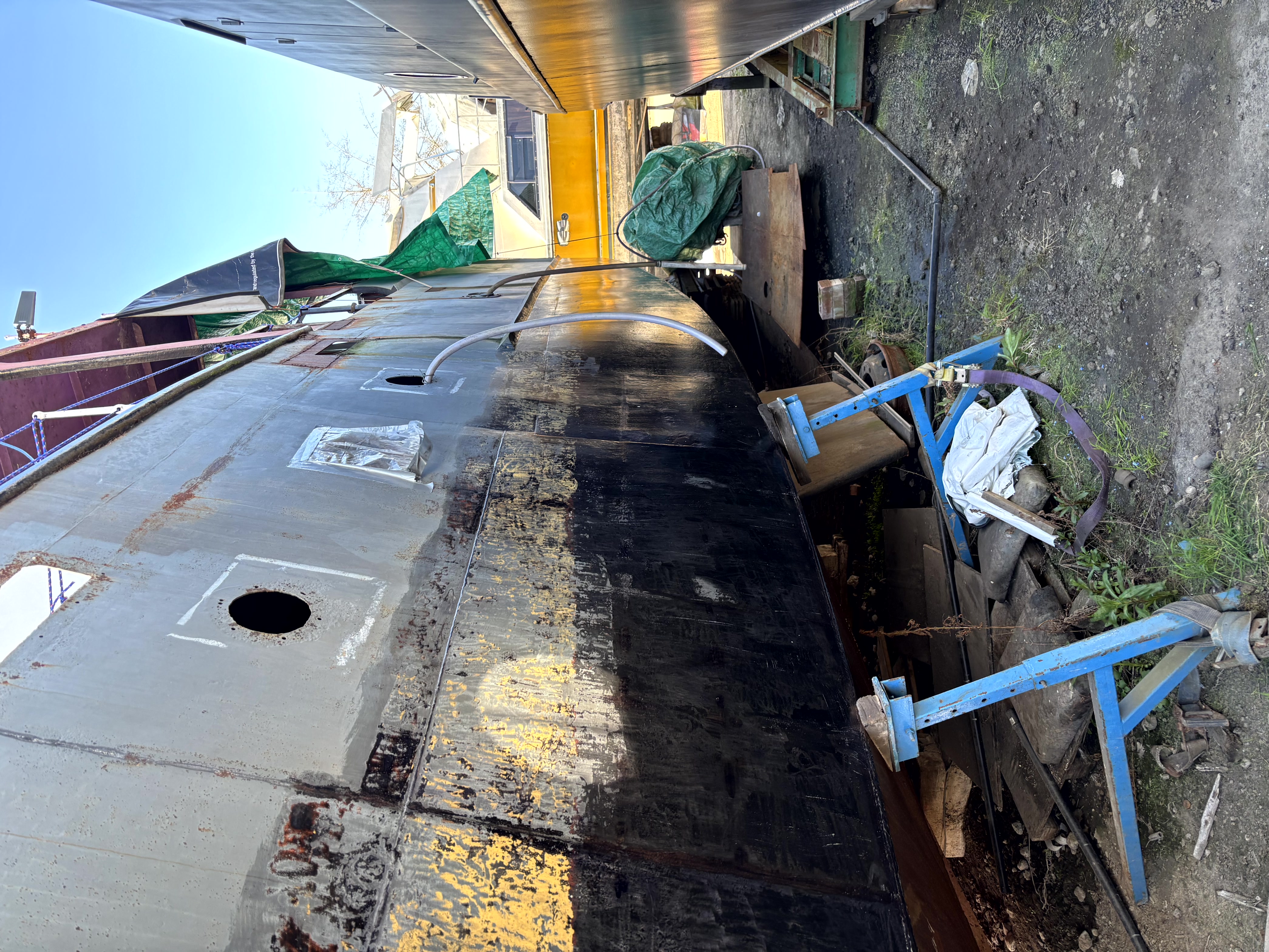
From the Project
Observations and notes from the ongoing boat conversion and coastal exploration project will be added here as they become available.
Related Knowledge Base
- Coastal erosion processes
- Sedimentary rock formations
- Harbour types and access
- Tidal patterns and coastal conditions
Status
This is part of a growing coastal index. Content will be expanded over time as the project develops.