


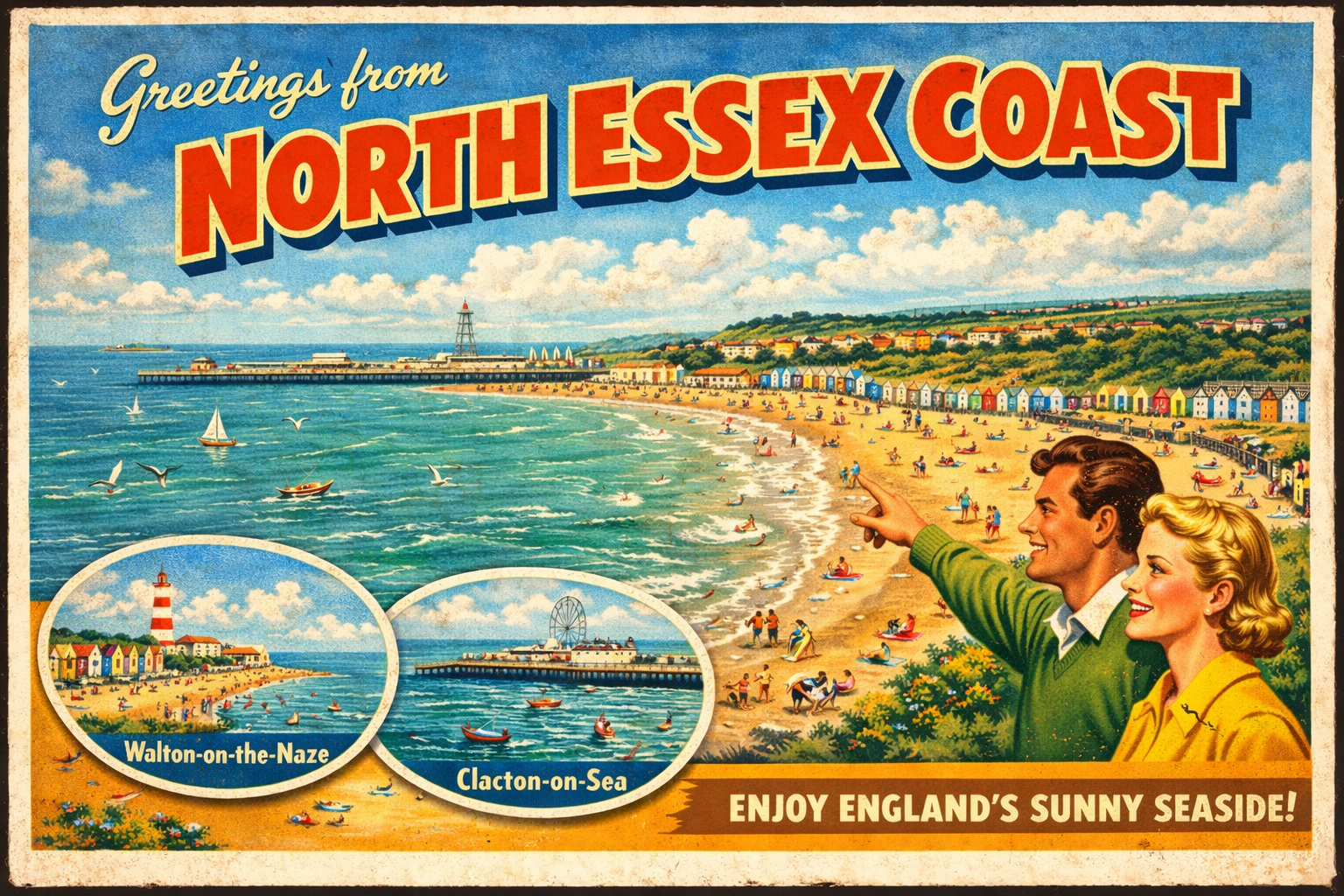
North Essex Coast
Overview
The North Essex coast is characterised by a series of shallow estuaries, mudflats, and low-lying shores facing the southern North Sea. The coastline is irregular, shaped by tidal inlets such as the Stour, Colne, and Blackwater, with shifting banks and channels forming a dynamic environment.
Settlements are generally small to moderate in size, often set slightly inland along riverbanks. The area has a long maritime association, though much of the coastline remains relatively undeveloped, with open stretches of marsh and intertidal zones.
Local Operating Context (for Liveaboard Boaters)
Navigation in this area is largely dictated by tidal movements, with significant ranges exposing extensive mudflats at low water. Channels may shift over time, requiring careful attention to current charts and local notices where available.
Opportunities for anchorage exist within estuaries, though conditions vary and holding ground may differ between mud and sand. Some locations may offer relative shelter, but exposure to easterly and northerly winds can be a consideration.
Access to shore is often tide-dependent, particularly in areas with drying banks. Landing points may be limited or require planning around tidal windows.
The overall pace of activity is moderate, with a mix of leisure and commercial traffic in certain approaches. Conditions can change quickly in open stretches, especially with wind against tide.
Typical Conditions
- Moderate tidal range with strong ebb and flood streams in estuarine channels
- Frequent exposure of mudflats and sandbanks at low water
- Variable wind exposure, particularly from the North Sea
- Generally low swell within estuaries, increasing offshore
Access & Shelter
- Estuaries provide partial shelter depending on wind direction
- Deeper channels offer navigable routes but may shift over time
- Open coastal stretches can be exposed in onshore winds
- Some inlets may be inaccessible at lower states of tide
Shore Interaction
- Landing often constrained by tidal state and soft mud banks
- Limited hard access points outside main settlements
- Shorelines frequently consist of marsh or shingle
- Access routes may require careful timing and local awareness
Risk Factors
- Shifting sandbanks and unmarked shallows
- Strong tidal flows in confined channels
- Exposure to easterly winds and short, steep seas offshore
- Reduced access at low tide due to extensive drying areas
Overall Character
The North Essex coast presents a quiet, working coastline with a strong tidal influence and a relatively undeveloped feel. It can suit those prepared for careful navigation and tidal planning, with conditions that often depend on timing and weather patterns.
Notable Locations
Harwich — A significant harbour at the mouth of the Stour, with deep-water access and notable commercial traffic.
Walton-on-the-Naze — A coastal town on a low peninsula, with nearby waters that can be exposed to northerly and easterly winds.
River Colne — A winding estuary offering inland shelter in places, though access is strongly tide-dependent.
River Blackwater — A broad estuary with multiple creeks and anchoring possibilities, subject to shifting channels and mudflats.
Practical Mooring & Anchorage Locations
Harwich Harbour
- Type: Harbour
- Shelter: Good protection from easterly and southerly winds within the harbour approaches
- Exposure: Can be uncomfortable in strong northerly winds in outer approaches; short steep chop possible in strong tidal flow
- Key Constraints: Strong commercial shipping traffic; tidal streams in the Stour/Orwell approach channels; designated navigation channels must be observed
- Traffic Level: High
- Liveaboard Suitability: High
- Notes: Deep-water access with established marina infrastructure. Good long-term option but requires awareness of commercial movements.
Brightlingsea Harbour
- Type: Harbour / Marina
- Shelter: Well sheltered from northerly and easterly winds inside the river approach
- Exposure: Outer creek can be uncomfortable in strong easterlies; shallow flats reduce protection at low tide
- Key Constraints: Tidal access via Colne Estuary; drying areas outside marked channels; timing required for entry/exit
- Traffic Level: Medium
- Liveaboard Suitability: High
- Notes: Established boating centre with marina and mooring options. Popular with cruising and long-stay vessels.
West Mersea
- Type: Estuary / Anchorage / Marina
- Shelter: Good shelter from northerly winds within the anchorage and mooring areas
- Exposure: Open to easterly winds across the estuary; can develop short chop with wind against tide
- Key Constraints: Extensive mudflats dry at low water; access channels are tidal and require careful navigation
- Traffic Level: Medium
- Liveaboard Suitability: High
- Notes: Well-known cruising hub with a mix of swinging moorings and marina facilities. Strong tidal planning required.
Tollesbury Marina
- Type: Marina / Creek Mooring
- Shelter: Excellent shelter within the creek system from most wind directions
- Exposure: Outer Blackwater estuary can be exposed in easterly winds; creek entrance affected by tide
- Key Constraints: Tidal access via winding channel; drying mudflats outside maintained waterways; speed restrictions in creek
- Traffic Level: Low
- Liveaboard Suitability: High
- Notes: Quiet, established marina with strong liveaboard presence. One of the more sheltered long-stay options in the area.
River Colne (Wivenhoe / Rowhedge)
- Type: Estuary / River Mooring
- Shelter: Good shelter from open sea conditions, particularly from northerly and easterly winds
- Exposure: Lower estuary can be affected by wind-against-tide conditions; upper reaches narrower and more protected
- Key Constraints: Strong tidal currents in main channel; limited depth outside marked moorings; mudbanks exposed at low tide
- Traffic Level: Medium
- Liveaboard Suitability: High
- Notes: Established river moorings with access to Wivenhoe and Rowhedge. Suitable for longer stays with tidal awareness.
Bradwell-on-Sea (Bradwell Marina / River Blackwater)
- Type: Marina / Estuary
- Shelter: Good shelter within marina basin; moderate protection in adjacent creeks
- Exposure: Outer estuary exposed to easterly winds; short steep seas possible in strong onshore conditions
- Key Constraints: Tidal access via River Blackwater; shifting channels and extensive mudflats outside moorings
- Traffic Level: Low
- Liveaboard Suitability: Medium
- Notes: Quiet marina with direct access to the Blackwater system. More exposed than inner estuary options but generally well managed.
Operational Support Infrastructure (Public Services)
Healthcare
Healthcare facilities are available within larger coastal towns and inland urban centres. Access from the water may require onward travel.
Emergency Services
Emergency response coverage includes coastguard services and shore-based emergency providers. Response times may vary depending on location and conditions.
Postal Services
Postal services are available within established towns and villages along the coast, though not typically accessible directly from landing points.
Civic Services
Local authorities provide standard civic services in populated areas. Remote stretches of coastline may have limited direct access to such facilities.
Visitor Information
Visitor information is generally provided in larger settlements. Availability may be seasonal and not always located close to waterfront access points.
Practical Notes for Boaters
This section will be developed over time based on direct experience and relevant contributions. The focus is on practical usefulness rather than completeness.
From the Project
Observations and notes from the ongoing boat conversion and coastal exploration project will be added here as they become available.
Related Knowledge Base
- Coastal erosion processes
- Sedimentary rock formations
- Harbour types and access
- Tidal patterns and coastal conditions
Status
This is part of a growing coastal index. Content will be expanded over time as the project develops.
