Essex Rivers Coastline
Overview
The Essex Rivers coastline forms part of the eastern English seaboard, characterised by a network of tidal estuaries, inlets, and low-lying marshland. The area includes several well-defined rivers opening into the North Sea, with broad expanses of mudflat and saltmarsh shaping much of the shoreline.
This coastline is generally open in aspect, with limited natural elevation and a landscape that changes significantly with the tide. Navigation and anchoring conditions are strongly influenced by tidal movement, sediment patterns, and exposure to easterly weather systems.
Local Operating Context (for Liveaboard Boaters)
Boating activity in this area is largely governed by tidal cycles, with many channels and access points only navigable at certain states of tide. Depth variability and shifting sands require ongoing attention to charts and local navigation updates.
The rivers themselves can extend inland for considerable distances, offering relatively calmer conditions compared to the open coast, although space may narrow and access may become constrained in upper reaches.
Anchoring opportunities exist in sheltered bends and creeks, but holding conditions may vary due to soft mud substrates. Swinging room and tidal flow must be carefully assessed, particularly in narrower sections.
Weather conditions can influence comfort and safety, especially where the coastline is exposed to winds from the east and north-east. Shelter is often partial and dependent on precise positioning within river systems.
Typical Conditions
- Strong tidal flows in estuary channels, particularly on ebb tides
- Extensive mudflats exposed at low water
- Variable depths with potential for shifting sandbanks
- Exposure to North Sea weather patterns
Access & Shelter
- Access to rivers often limited by tidal windows
- Inner estuaries may provide moderate shelter depending on wind direction
- Creeks and bends can offer short-term refuge in settled conditions
- Open coastline areas provide limited protection from onshore winds
Shore Interaction
- Shorelines frequently consist of mud and marsh, restricting landing points
- Access ashore may depend on tide height and ground conditions
- Settlements are typically set back from immediate waterfront areas
- Intertidal zones can make regular shore access inconsistent
Risk Factors
- Grounding risk due to shallow channels and mudflats
- Rapid tidal changes affecting depth and current strength
- Exposure to easterly winds increasing wave conditions in open sections
- Navigational complexity in poorly marked or shifting channels
Overall Character
The Essex Rivers coastline presents a quiet and often remote operating environment shaped by tidal influence and low-lying geography. It tends to favour cautious passage planning and an adaptable approach to anchoring and access.
Notable Locations
-
River Blackwater – A broad estuary with multiple creeks, offering varied anchoring options depending on tide and position.
-
River Crouch – A well-defined tidal river with relatively straightforward navigation in its lower reaches.
-
River Colne – Narrowing inland waterway with shifting depths and limited space in upper sections.
-
River Roach – Smaller and more enclosed, with restricted access and strong tidal influence.
Practical Mooring & Anchorage Locations
Bradwell Marina (River Blackwater)
- Type: Marina
- Shelter: Good shelter from most directions once inside the marina
- Exposure: Entrance area can be exposed to strong easterlies
- Key Constraints: Tidal access considerations; shallow approaches at low water
- Traffic Level: Medium
- Liveaboard Suitability: Medium
- Notes: Established marina with facilities. Access timing improves comfort and safety.
Heybridge Basin (River Blackwater)
- Type: Harbour
- Shelter: Well sheltered within the basin
- Exposure: Entrance channel exposed to crosswinds
- Key Constraints: Lock access required; restricted entry times around tide
- Traffic Level: Medium
- Liveaboard Suitability: Medium
- Notes: Controlled access provides secure berthing. Limited manoeuvring space inside.
Burnham-on-Crouch (River Crouch)
- Type: River Mooring
- Shelter: Good shelter from most directions within the river
- Exposure: Some exposure to strong easterly winds along open stretches
- Key Constraints: Strong tidal flows; moorings often managed or allocated
- Traffic Level: High
- Liveaboard Suitability: Medium
- Notes: Well-used boating centre with services nearby. Busy during sailing events.
Pyefleet Creek (River Colne)
- Type: Anchorage
- Shelter: Good shelter from westerly and northerly winds
- Exposure: Open to strong easterlies and south-easterlies
- Key Constraints: Shallow depths; soft mud holding; limited swinging room
- Traffic Level: Low
- Liveaboard Suitability: Medium
- Notes: Quiet creek with limited space. Careful anchoring required due to depth variation.
Brightlingsea Harbour (River Colne)
- Type: Harbour
- Shelter: Moderate shelter within harbour area
- Exposure: Outer harbour exposed to easterly winds
- Key Constraints: Tidal streams; designated mooring areas
- Traffic Level: Medium
- Liveaboard Suitability: Medium
- Notes: Active harbour with facilities and services. Space may be limited in peak periods.
Paglesham Reach (River Roach)
- Type: Anchorage
- Shelter: Good shelter from most directions within the river bend
- Exposure: Some exposure to strong easterlies at entrance
- Key Constraints: Narrow channel; strong tidal flow; shallow margins
- Traffic Level: Low
- Liveaboard Suitability: Low
- Notes: Quiet and remote location. Best suited for short stays in settled conditions.
Operational Support Infrastructure (Public Services)
Healthcare
Healthcare facilities are located within nearby towns inland from the rivers, typically accessible by road following landing at suitable access points.
Emergency Services
Emergency response coverage is present across the region, though response times may vary depending on location and accessibility from shore.
Postal Services
Postal services are available within local towns and villages, generally requiring travel from landing points to reach service locations.
Civic Services
Local authorities provide standard civic services across the region, with administrative centres located away from immediate waterfront areas.
Visitor Information
Visitor information is typically available in nearby towns, though availability may be limited in smaller or more remote coastal settlements.
Practical Notes for Boaters
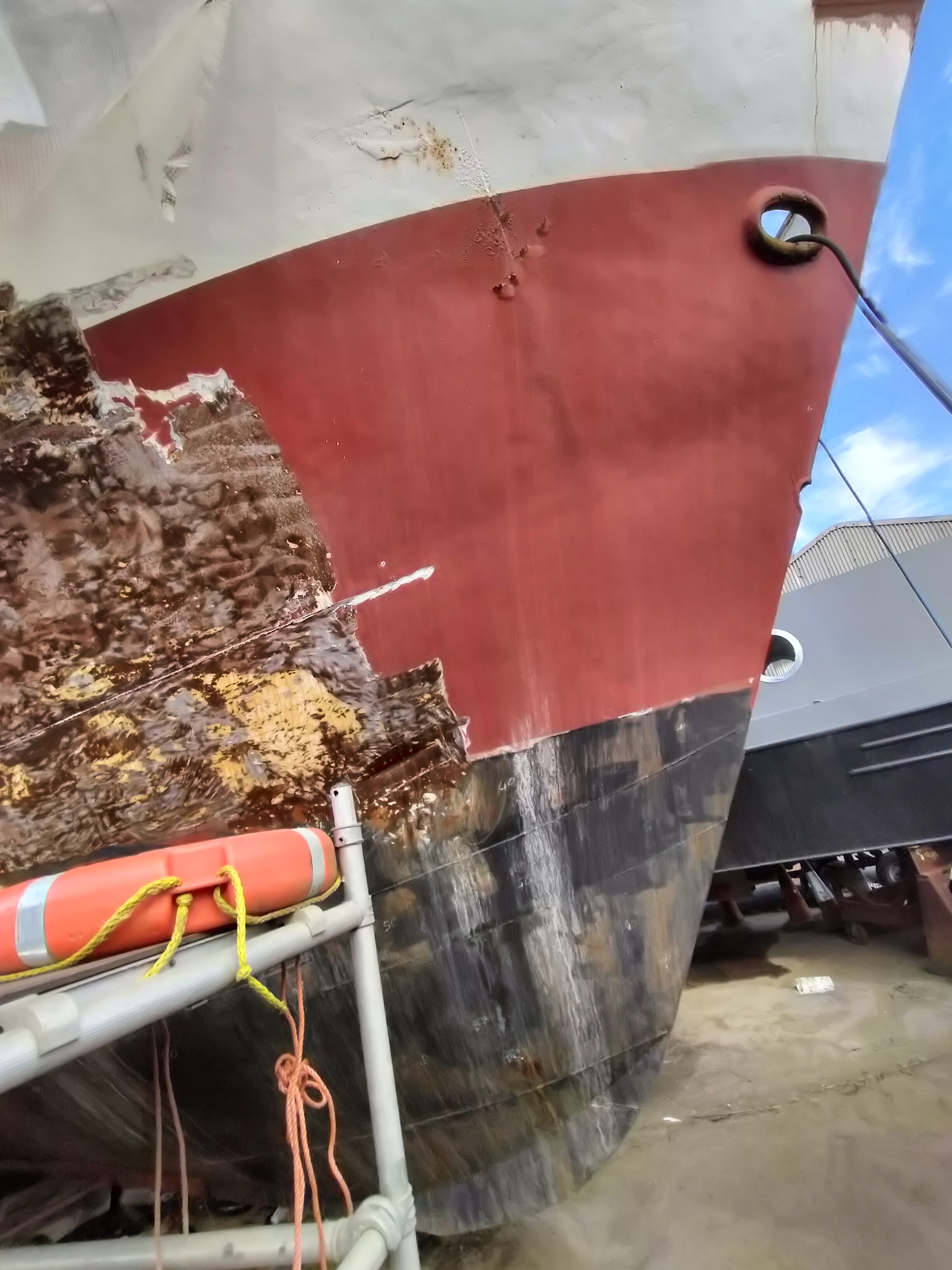
This section will be developed over time based on direct experience and relevant contributions. The focus is on practical usefulness rather than completeness.
From the Project
Observations and notes from the ongoing boat conversion and coastal exploration project will be added here as they become available.
Related Knowledge Base
- Coastal erosion processes
- Sedimentary rock formations
- Harbour types and access
- Tidal patterns and coastal conditions
Status
This is part of a growing coastal index. Content will be expanded over time as the project develops.