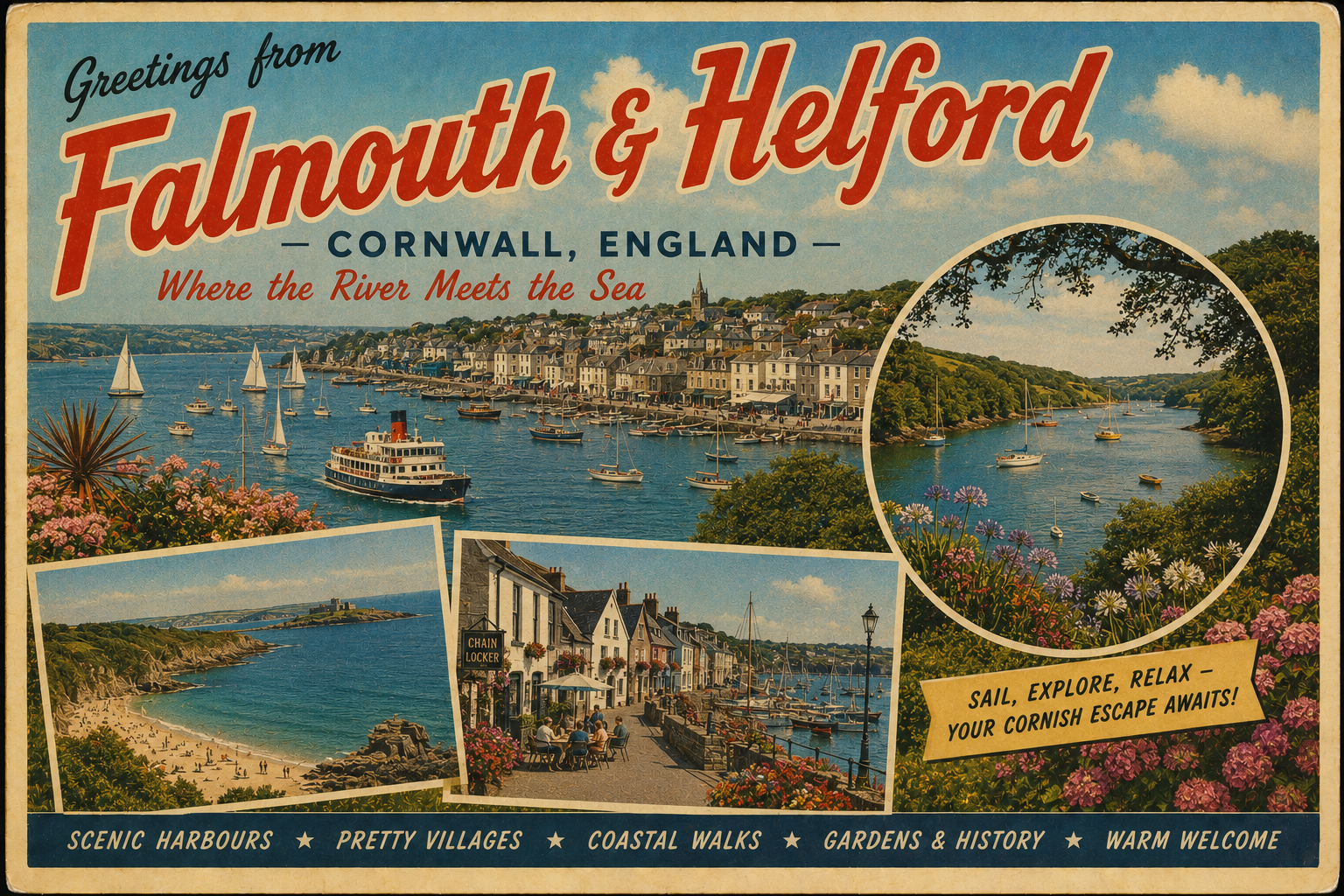
Falmouth & Helford
Overview
The Falmouth and Helford coast lies on the south coast of Cornwall, characterised by a mix of open water, wooded estuaries, and irregular shoreline. The area includes the broad natural harbour at Falmouth and the narrower, more enclosed Helford River.
This stretch of coast is influenced by Atlantic weather systems, though some inlets provide partial shelter depending on wind direction. The surrounding landscape is relatively undeveloped in places, with a combination of small settlements and natural shoreline.
Local Operating Context (for Liveaboard Boaters)
Navigation in this area generally benefits from well-marked approaches to larger harbours, though smaller inlets and creeks may require greater attention to charts and tidal states. Depths can vary significantly, particularly within the Helford River and its tributaries.
Tidal movement is a consistent factor, with noticeable flows in constricted areas and shallower reaches. Planning around tidal windows may be necessary for access to certain anchorages or upper estuary locations.
Exposure to prevailing south-westerly winds can affect conditions along more open sections of the coast. In contrast, river systems may offer more settled conditions, though these can change with shifting weather.
Shore access varies, with some areas allowing straightforward landing at higher states of tide, while others may be limited by mudflats, gradients, or restricted landing points.
Typical Conditions
- Moderate to strong tidal flows, particularly in narrower channels
- Exposure to south-westerly winds along open coastal stretches
- Variable sea states depending on offshore conditions
- Reduced wave action within estuaries, though wind effects remain
Access & Shelter
- Falmouth Harbour provides relatively accessible entry in a range of conditions
- The Helford River offers more enclosed anchorage, though access depends on tide
- Some smaller coves may offer temporary shelter in settled weather
- Protection levels vary significantly with wind direction and strength
Shore Interaction
- Landing points may be limited in undeveloped or wooded areas
- Intertidal zones can restrict access at low water
- Some settlements provide basic access points without extensive infrastructure
- Care may be needed when navigating soft mud or uneven shorelines
Risk Factors
- Changing weather patterns influencing sea state and shelter
- Shallow areas and shifting depths within estuaries
- Tidal streams affecting manoeuvrability in confined areas
- Limited refuge in more exposed coastal sections during adverse conditions
Overall Character
The area presents a balance between open coastal exposure and more sheltered inland waterways. It is generally regarded as varied in character, with conditions that can shift depending on location and weather patterns. Cautious passage planning is typically required.
Notable Locations
-
Falmouth Harbour – a large natural harbour with relatively straightforward access and space for anchoring
-
Helford River – a sheltered estuary with wooded banks, though access and movement are tide-dependent
-
St Mawes – a coastal settlement near the harbour entrance with exposure to changing conditions
-
Gillan Creek – a quieter inlet within the Helford system, offering limited shelter depending on depth and tide
Practical Mooring & Anchorage Locations
Falmouth Harbour
- Type: Harbour / Anchorage
- Shelter: Good protection from W through N to E within inner harbour
- Exposure: Open to strong SE winds and swell near the entrance
- Key Constraints: Heavy vessel traffic, harbour regulations, designated anchoring zones
- Traffic Level: High
- Liveaboard Suitability: Medium
- Notes: Extensive mooring options and services available. Inner areas provide more settled conditions than outer roads.
St Mawes Harbour
- Type: Harbour / Mooring
- Shelter: Best in W to N winds
- Exposure: Open to SE through S winds entering the harbour
- Key Constraints: Limited space, ferry movements, seasonal moorings
- Traffic Level: Medium
- Liveaboard Suitability: Low to Medium
- Notes: Popular and scenic but can be uncomfortable in onshore winds. Short stays more typical than extended use.
Helford River (Main Channel)
- Type: Estuary / Anchorage
- Shelter: Strong shelter from W through N to E
- Exposure: Some exposure to strong S or SE winds funnelling up river
- Key Constraints: Tidal streams, shallow edges, mooring areas with restrictions
- Traffic Level: Medium
- Liveaboard Suitability: High
- Notes: One of the most consistently sheltered areas locally. Good holding and multiple anchoring spots along the river.
Mylor Harbour
- Type: Marina
- Shelter: Well sheltered from most directions
- Exposure: Minimal, slight chop in strong easterlies
- Key Constraints: Berth availability, marina fees, access channels
- Traffic Level: Medium
- Liveaboard Suitability: High
- Notes: Reliable marina facilities with shore access. Suitable for longer stays subject to marina policy.
Port Navas Creek
- Type: Creek / River Mooring
- Shelter: Excellent shelter from all directions once inside
- Exposure: Limited exposure except at entrance in strong winds
- Key Constraints: Shallow depths, tidal access only, narrow approach
- Traffic Level: Low
- Liveaboard Suitability: Medium
- Notes: Quiet and enclosed setting. Access restricted around low water.
Gillan Creek
- Type: Creek / Anchorage
- Shelter: Good shelter from W through N to E
- Exposure: Open to SE winds and limited fetch at entrance
- Key Constraints: Shallow water, drying areas, tidal dependence
- Traffic Level: Low
- Liveaboard Suitability: Low to Medium
- Notes: Suitable for settled conditions and careful tidal planning. Limited space for deeper draft vessels.
Operational Support Infrastructure (Public Services)
Healthcare
Healthcare services are available in the wider area, with access typically centred around larger towns. More remote locations may require travel by road or water to reach facilities.
Emergency Services
Emergency response services operate along this section of the coast, with maritime and land-based coordination where required. Response times may vary depending on location and conditions.
Postal Services
Postal services are generally accessible within local settlements, though availability may be limited in smaller or more remote communities.
Civic Services
Basic civic services are provided within nearby towns and villages, with more comprehensive provision found in larger population centres.
Visitor Information
Visitor information is typically available within established towns, offering general guidance on the area, though coverage may be limited in less developed locations.
Practical Notes for Boaters
This section will be developed over time based on direct experience and relevant contributions. The focus is on practical usefulness rather than completeness.
From the Project
Observations and notes from the ongoing boat conversion and coastal exploration project will be added here as they become available.
Related Knowledge Base
- Coastal erosion processes
- Sedimentary rock formations
- Harbour types and access
- Tidal patterns and coastal conditions
Status
This is part of a growing coastal index. Content will be expanded over time as the project develops.