



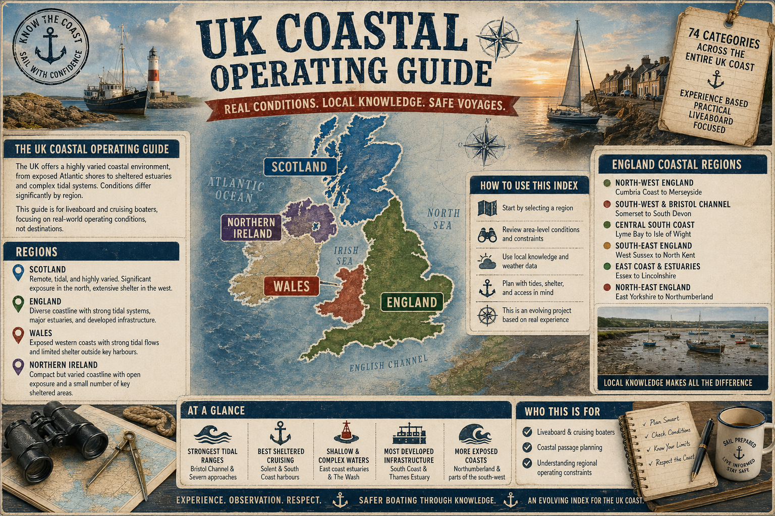
South Kent Coastline - Area 38
Overview
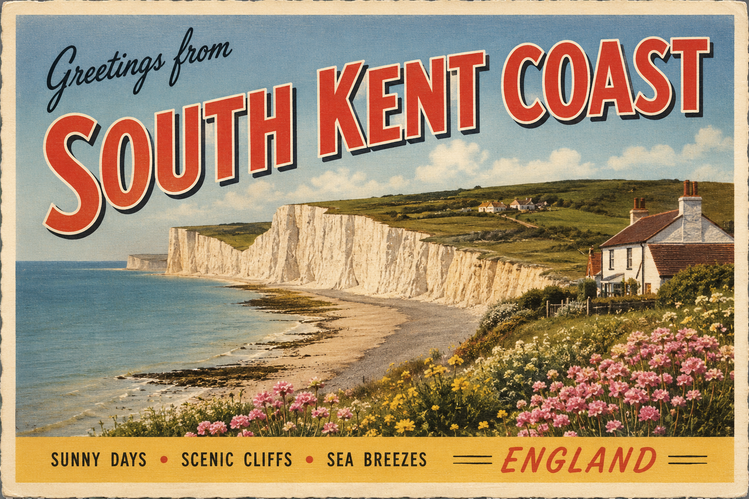
The South Kent coastline faces the English Channel and forms part of the narrowest section between the United Kingdom and continental Europe. It is characterised by a mix of chalk cliffs, shingle beaches, and occasional low-lying stretches near river mouths.
Settlements are spaced along the coast, often associated with historic harbours or defensive positions. The area is influenced by strong tidal streams and significant commercial shipping activity passing through the Dover Strait.
Local Operating Context (for Liveaboard Boaters)
Navigation along this stretch requires awareness of tidal timing and traffic separation schemes in adjacent waters. Movements are often planned around favourable tidal flows, which can be pronounced.
Opportunities for stopping or sheltering can be limited outside established harbour areas. Open stretches of coast offer little natural refuge, particularly in onshore or easterly conditions.
Weather conditions in the Channel can change with limited warning, and sea states may build quickly due to wind-against-tide situations. Visibility can also vary, particularly in periods of mist or sea fog.
Access to shore facilities varies by location and is generally more structured around larger coastal towns. Outside these, interaction with the shore may be restricted by beach gradients or exposure.
Typical Conditions
- Strong tidal streams, particularly in the Dover Strait
- Frequent commercial vessel traffic in nearby shipping lanes
- Variable sea states influenced by wind direction and tidal flow
- Periods of reduced visibility due to haze or fog
Access & Shelter
- Limited natural shelter along exposed cliff sections
- Harbour access generally concentrated at key coastal towns
- Open roadsteads may offer temporary holding in settled weather
- Entry conditions can depend on tide, swell, and harbour orientation
Shore Interaction
- Access often via harbours or slipways in developed areas
- Shingle beaches may make landing or boarding less straightforward
- Tidal range can affect accessibility of shoreline features
- Some stretches have limited direct shore access due to cliffs
Risk Factors
- Heavy shipping traffic requiring careful navigation and awareness
- Strong and shifting tidal currents
- Exposure to easterly and south-easterly winds
- Limited emergency shelter options outside main harbours
Overall Character
The South Kent coastline presents a functional but at times demanding operating environment. It combines open Channel exposure with concentrated points of access, requiring planning and caution rather than opportunistic movement.
Notable Locations
-
Dover – Major harbour area with controlled access and significant shipping movement
-
Folkestone – Coastal town with harbour structures offering some shelter depending on conditions
-
Dungeness – Low-lying headland with open exposure and minimal natural protection
-
Hythe – Shingle shoreline with limited direct harbour facilities
Practical Mooring & Anchorage Locations
Dover Harbour
- Type: Harbour
- Shelter: West through north-east (well sheltered within inner harbour)
- Exposure: Strong easterly and south-easterly swell outside harbour entrance; turbulence in strong wind-against-tide conditions
- Key Constraints: Heavy commercial traffic, ferry movements, tidal streams in approach channel, controlled harbour operations
- Traffic Level: High
- Liveaboard Suitability: Medium
- Notes: One of the most secure all-weather options on the coast. Entry and manoeuvring require careful timing due to traffic density.
Folkestone Harbour
- Type: Harbour / Marina basin
- Shelter: North-west through south-west (good inside basin)
- Exposure: Easterly swell can affect entrance; limited protection in strong southerly storm conditions
- Key Constraints: Harbour access depends on operational status of gates and marina management, tidal considerations at entry
- Traffic Level: Medium
- Liveaboard Suitability: Medium
- Notes: Provides relatively calm berthing when conditions are settled. Space and access arrangements can vary seasonally.
Hythe
- Type: Harbour / Small craft mooring area
- Shelter: North through west (limited but generally calm in settled weather)
- Exposure: South-easterly and easterly winds can create uncomfortable conditions due to open shoreline
- Key Constraints: Limited harbour infrastructure, tidal beach gradient, shallow approaches in places
- Traffic Level: Low
- Liveaboard Suitability: Low
- Notes: Primarily suitable for small craft and short stays. Not a fully serviced long-term liveaboard location.
Dungeness (Roadstead Anchorage)
- Type: Anchorage / Open roadstead
- Shelter: Minimal; slight lee in very settled north-westerly conditions only
- Exposure: Fully exposed to Channel swell, particularly from south-west through south-east
- Key Constraints: No natural harbour, holding ground variability, rapidly changing sea state with wind-against-tide
- Traffic Level: Medium
- Liveaboard Suitability: Low
- Notes: Used only in settled conditions for short periods. Requires careful monitoring and readiness to move.
Rye Harbour (River Rother)
- Type: Harbour / River mooring
- Shelter: North through west (good within river and marina areas)
- Exposure: Entrance can be affected by swell and shifting sandbanks; easterly winds create uncomfortable conditions offshore
- Key Constraints: Tidal bar at entrance, depth restrictions in channel, strong tidal flow on approach
- Traffic Level: Medium
- Liveaboard Suitability: High
- Notes: One of the more practical semi-sheltered options in this stretch. Entry requires attention to tide and channel conditions.
Deal Harbour / Anchorage
- Type: Harbour / Anchorage
- Shelter: West through north-west (limited but workable in settled conditions inside harbour area)
- Exposure: Open to easterly and south-easterly winds; swell can develop quickly offshore
- Key Constraints: Small harbour, tidal beach conditions, limited depth and visitor space
- Traffic Level: Medium
- Liveaboard Suitability: Medium
- Notes: Functions more as a small working harbour and occasional stopover point. Best suited to short-term stays.
Marine Safety & Support
HM Coastguard provides search and rescue coordination throughout the area, supported by local Coastguard Rescue Teams and RNLI lifeboat stations where established. Emergency medical facilities and essential services are generally available in the principal coastal towns and regional centres serving the area.
Coastal Guardians & Local Support
The coastal community is strengthened by organisations that share practical knowledge, support visiting boaters and help maintain the quality of information within the UK Coastal Operating Guide.
The following Coastal Guardian positions are currently available or reserved.
*** Please note: Only five (5) Guardian berths are available in this coastal area ***
⚓ Example Marine Engineering & Vessel Support
Location • Marine Engineering • Repairs & Servicing
This position is reserved for a recognised local marine engineering business providing servicing, repairs and technical support to cruising and liveaboard vessels operating within this coastal area.
Best for: Vessel maintenance and engineering support
⚓ Example Chandlery & Marine Supplies
Location • Marine Supplies • Equipment & Gear
Reserved for a local chandlery or marine supplier helping visiting boaters obtain equipment, safety gear and essential stores for safe coastal cruising.
Best for: Cruising equipment and essential stores
⚓ Example Boatyard & Marine Services
Location • Marine Services • Specialist Support
This position is reserved for a local boatyard or marine service provider offering lifting, storage, maintenance and specialist support for vessels visiting the area.
Best for: Boatyard facilities and vessel maintenance
⚓ Example Marina, Harbour & Visitor Facilities
Location • Visitor Facilities • Practical Support
Reserved for a local organisation providing practical services that support visiting boaters and contribute to the wider maritime community.
Best for: Practical local boating support
⚓ Example Local Maritime Services & Coastal Knowledge
Location • Coastal Knowledge • Marine Information
This position recognises an organisation whose local knowledge and practical contribution help strengthen the quality of information available to visiting mariners.
Best for: Local knowledge and community support
Status:Five (5) Berths Available. Reserved for Coastal Guardians Only
Additional marine businesses, marinas and specialist services are listed within the Ship's Office.
UK Public Services & Infrastructure
Public services, healthcare, emergency response and essential facilities are available throughout the UK coastline. Provision is generally strongest in larger towns and regional centres, while remote rural and island areas may offer more limited local access.
Practical Notes for Boaters
This section will be developed over time based on direct experience and relevant contributions. The focus is on practical usefulness rather than completeness.
From the Project
Observations and notes from the ongoing boat conversion and coastal exploration project will be added here as they become available.
Related Knowledge Base
- Coastal erosion processes
- Sedimentary rock formations
- Harbour types and access
- Tidal patterns and coastal conditions
Status
This is part of a growing coastal index. Content will be expanded over time as the project develops.