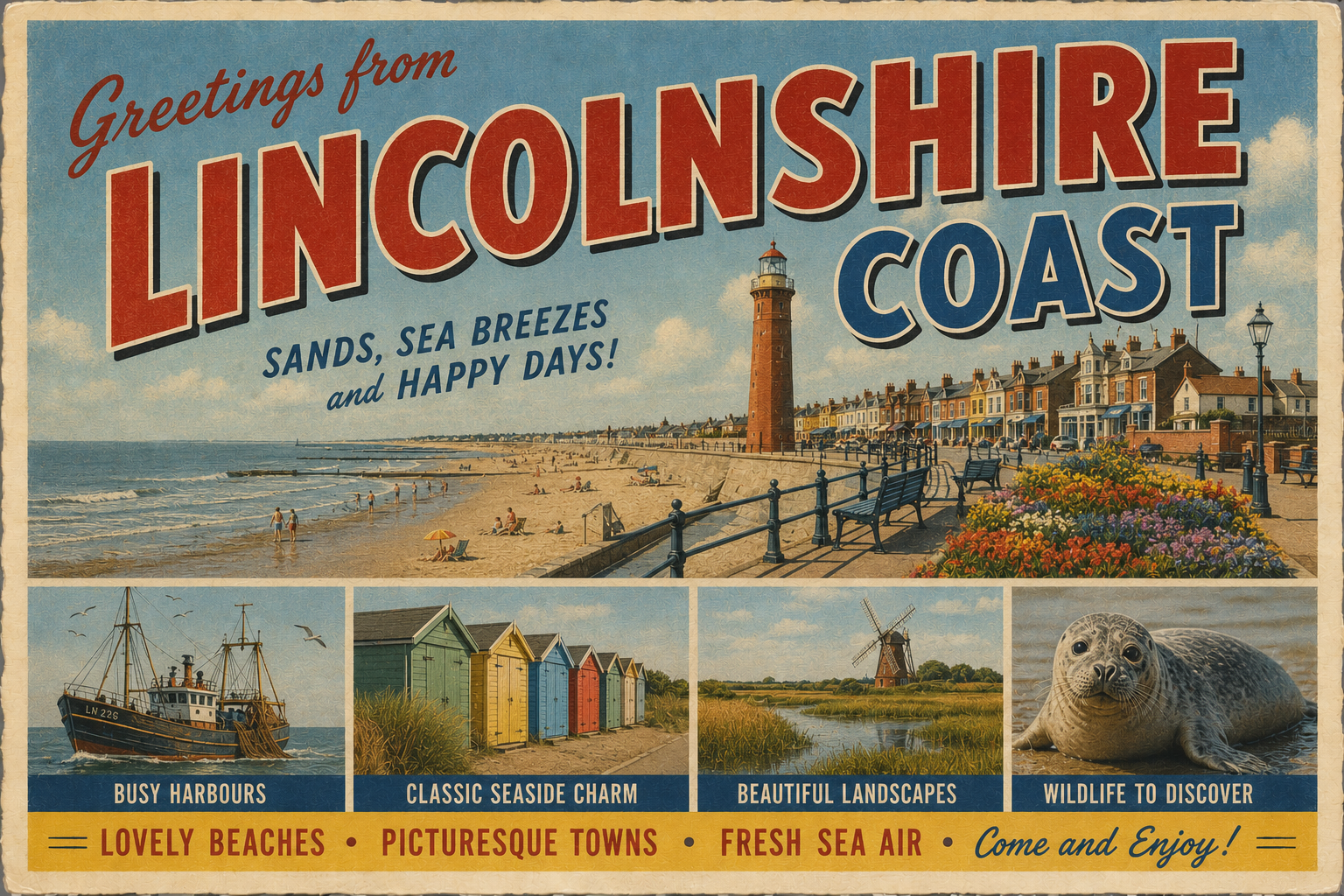
Lincolnshire Coast
Overview
The Lincolnshire coast forms part of the eastern shoreline of England, facing the North Sea. It is characterised by long stretches of low-lying land, sandy beaches, and shallow offshore gradients.
Much of the coastline is open and gently sloping, with limited natural harbours. Estuarine inlets and river mouths provide the main points of maritime access, though these can be constrained by shifting sediments and tidal influence.
Local Operating Context (for Liveaboard Boaters)
Navigation along this coast typically requires careful tidal planning due to extensive shallows and sandbanks extending offshore. Depths can vary significantly, and channels may shift over time.
Shelter is limited along much of the open coast, making weather windows an important consideration. Offshore conditions can become uncomfortable with onshore winds.
Access to land is generally concentrated around estuaries and developed coastal settlements. Outside these areas, landing points may be sparse or affected by tidal range.
Liveaboard operations in this region tend to rely on self-sufficiency, with limited direct access to services from the water in many stretches.
Typical Conditions
- Predominantly shallow coastal waters with gradual seabed gradients
- Strong tidal influence, particularly near estuaries and river mouths
- Frequent sediment movement leading to shifting sandbanks
- Exposure to easterly and northerly winds from the North Sea
Access & Shelter
- Primary access via estuaries and river channels
- Limited natural harbours along the open coastline
- Shelter may be available inland within tidal rivers
- Open stretches can be exposed in changing weather conditions
Shore Interaction
- Landing often dependent on tidal state due to shallow gradients
- Access points concentrated near towns and river entrances
- Some areas backed by sea defences or marshland
- Intertidal zones can be extensive and soft underfoot
Risk Factors
- Shifting sandbanks and unmarked shallow areas
- Rapid changes in weather exposure from the North Sea
- Strong tidal streams in confined channels
- Limited refuge options along open sections of coast
Overall Character
The Lincolnshire coast presents a relatively undeveloped and open maritime environment. It requires cautious navigation and planning, with an emphasis on tidal awareness and weather assessment.
Notable Locations
-
The Wash – A large estuarine bay offering access inland, though conditions can be shallow and changeable.
-
Skegness – A coastal settlement with nearby access points, though offshore areas remain exposed.
-
Mablethorpe – A stretch of open coastline with limited direct maritime shelter.
-
Sutton Bridge – Located inland on the River Nene, providing more sheltered conditions subject to tidal navigation.
Practical Mooring & Anchorage Locations
The Wash
- Type: Estuary / Anchorage
- Shelter: West and south-west winds (within inner areas and lee of sandbanks)
- Exposure: North-east and east winds can build steep chop and swell across the outer basin
- Key Constraints: Extensive tidal flats, shifting channels, and drying areas; careful pilotage required
- Traffic Level: Medium
- Liveaboard Suitability: Medium
- Notes: Large anchorage area with seasonal variation in usable depth. Good short-term stopping point in settled weather.
Sutton Bridge (River Nene)
- Type: River Mooring / Small Port
- Shelter: Well sheltered from all directions once inside the river channel
- Exposure: Outer approach exposed to tidal currents and North Sea conditions
- Key Constraints: Strong tidal stream on approach; access dependent on tide state and channel conditions
- Traffic Level: Low
- Liveaboard Suitability: High
- Notes: One of the more practical inland options on this stretch of coast. Suitable for longer stays with planning around tides.
Boston (River Witham / The Haven)
- Type: Harbour / River Mooring
- Shelter: Good shelter from most wind directions within the river and port approaches
- Exposure: Outer river mouth exposed to easterly winds and tidal surge conditions
- Key Constraints: Tidal access via The Haven; commercial traffic and river depth variations
- Traffic Level: Medium
- Liveaboard Suitability: High
- Notes: Established tidal river port with direct access inland. Useful service point compared to surrounding coastline.
Fosdyke (River Welland)
- Type: River Mooring
- Shelter: Good shelter from most directions within the river
- Exposure: Approach channel exposed to tidal flow and shallow sections
- Key Constraints: Limited depth outside dredged channel; tidal access required
- Traffic Level: Low
- Liveaboard Suitability: Medium
- Notes: Small-scale inland mooring option with limited facilities. Best suited to shallow-draft vessels.
Grimsby & Immingham (Humber Estuary)
- Type: Harbour
- Shelter: Good shelter inside docks from all wind directions
- Exposure: Humber approaches exposed to strong winds and tidal surge conditions
- Key Constraints: Heavy commercial shipping traffic; controlled dock access and procedures
- Traffic Level: High
- Liveaboard Suitability: Medium
- Notes: Major commercial port complex with secure berthing options. Noted for restricted leisure access in some areas.
Cleethorpes (Humber Estuary Foreshore)
- Type: Anchorage / Estuary
- Shelter: Partial shelter in inner estuary waters depending on wind direction
- Exposure: North-east and easterly winds create uncomfortable conditions and short chop
- Key Constraints: Strong tidal currents in the Humber; limited defined anchorage holding ground
- Traffic Level: Medium
- Liveaboard Suitability: Low
- Notes: Primarily an occasional stop rather than a prolonged mooring location. Conditions can change quickly with tide and wind shifts.
Operational Support Infrastructure (Public Services)
Healthcare
Healthcare facilities are generally located within inland towns and larger coastal settlements, with access dependent on landing location and local transport.
Emergency Services
Emergency response coverage exists along the coast, though response times may vary in more remote or sparsely populated areas.
Postal Services
Postal services are available within established settlements, typically requiring shore access at recognised landing points.
Civic Services
Basic civic services are present in towns along the coast, though availability may be limited outside main population centres.
Visitor Information
Visitor information is generally provided in coastal towns, offering general guidance relevant to the area rather than maritime-specific detail.
Practical Notes for Boaters
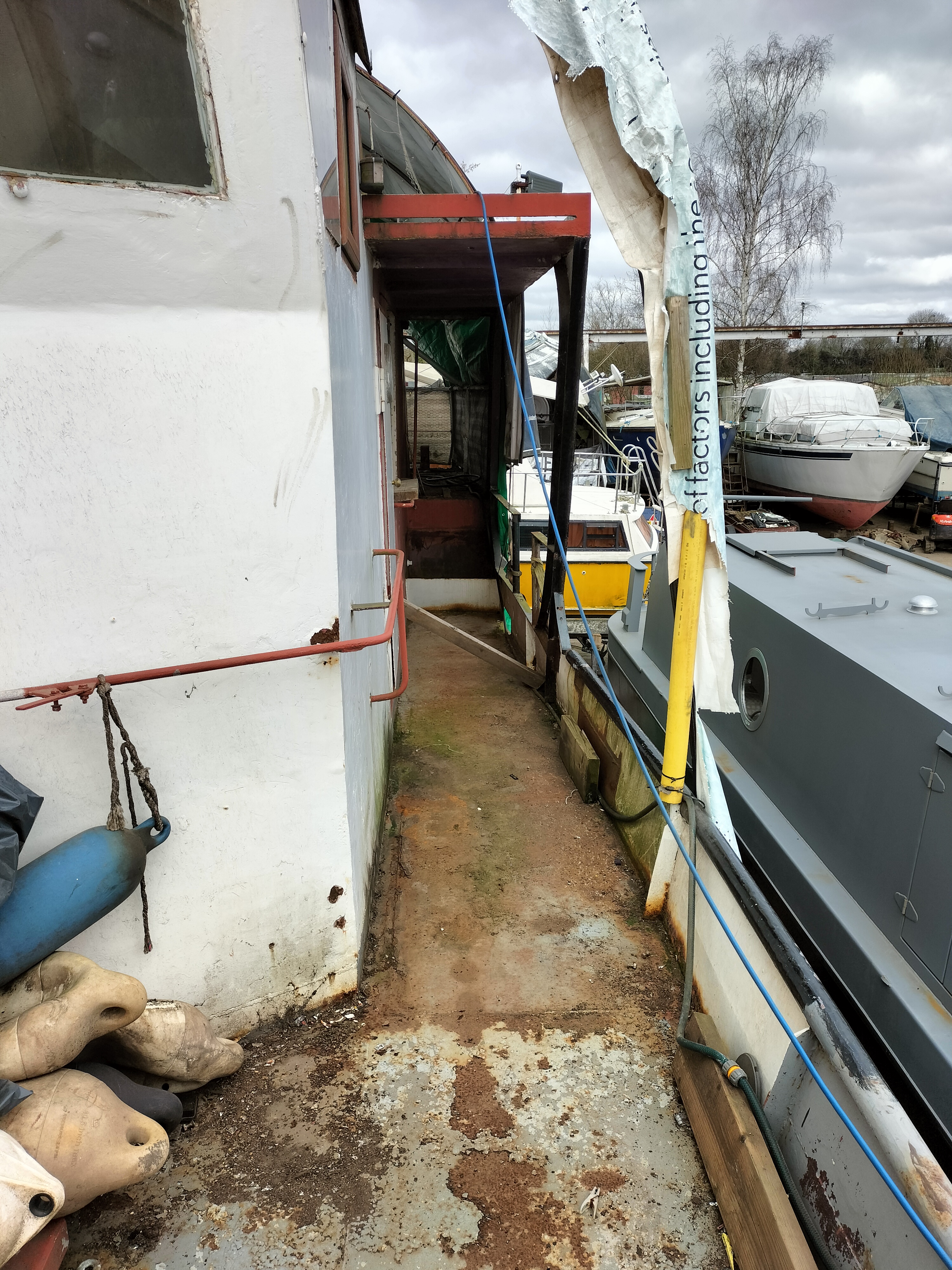
This section will be developed over time based on direct experience and relevant contributions. The focus is on practical usefulness rather than completeness.
From the Project
Observations and notes from the ongoing boat conversion and coastal exploration project will be added here as they become available.
Related Knowledge Base
- Coastal erosion processes
- Sedimentary rock formations
- Harbour types and access
- Tidal patterns and coastal conditions
Status
This is part of a growing coastal index. Content will be expanded over time as the project develops.