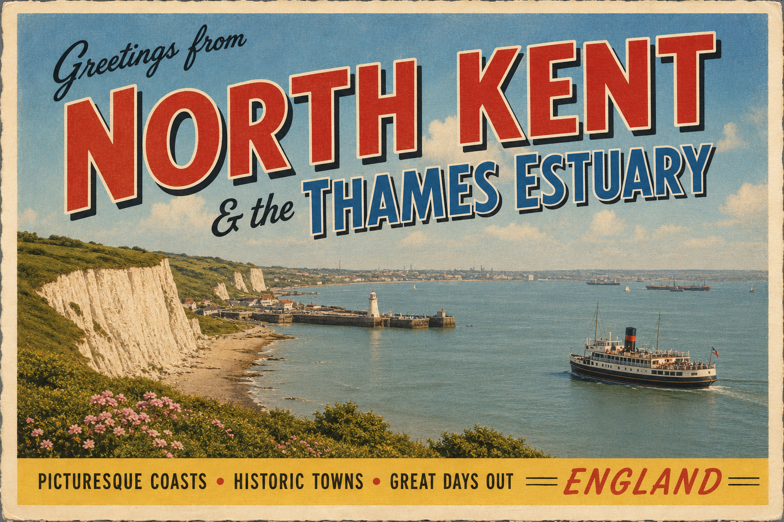
North Kent & Thames Estuary Coast
Overview
The North Kent coastline and Thames Estuary form a broad, low-lying and heavily tidal coastal environment on the south-east side of England. The area is shaped by wide estuarine waters, shifting channels, and extensive mud and sand flats exposed at low tide.
It is a working coastal region with frequent commercial traffic and varied shoreline character, ranging from industrial stretches to more open, rural-feeling estuarine margins. Conditions can change quickly with tide and weather.
Local Operating Context (for Liveaboard Boaters)
This area is strongly influenced by tidal range and river outflow from the Thames and Medway systems. Navigation typically requires careful attention to tidal planning and awareness of fast-moving water in constricted channels.
Visibility can be reduced by haze, precipitation, or river conditions, particularly in colder months. Surface chop may build quickly in wind-against-tide situations, even in otherwise moderate weather.
Shore access varies considerably, with some stretches bordered by mudflats, sea walls, or industrial frontage. Opportunities to come ashore often depend on suitable tidal states and local restrictions.
Vessel traffic density can be high in and around the main Thames approaches, requiring steady situational awareness and adherence to recognised navigation channels.
Typical Conditions
- Strong tidal streams, particularly in narrowing channels
- Extensive shallow areas and drying mudflats at low water
- Variable visibility influenced by river and weather conditions
- Choppy seas developing in wind-against-tide situations
Access & Shelter
- Limited natural shelter along open estuarine stretches
- More protection may be found within river mouths and creeks
- Drying areas restrict access at lower tidal states
- Safe navigation often depends on timing with tidal windows
Shore Interaction
- Extensive intertidal zones can limit landing options
- Some urban and semi-urban shorelines provide easier access points
- Industrial and commercial frontage is common in parts of the estuary
- Foot access may be restricted in operational or protected areas
Risk Factors
- Fast-moving tidal streams and overfalls in confined areas
- Heavy commercial shipping movements near main channels
- Shifting shoals and sediment movement
- Reduced visibility in fog or precipitation conditions
Overall Character
The Thames Estuary and North Kent coast present a functional and dynamic maritime environment, shaped more by navigation, industry, and tidal processes than recreational coastal use. It is a landscape that often requires careful planning and respect for rapidly changing conditions.
Notable Locations
-
Thames Estuary – Broad tidal interface with complex channels and heavy vessel traffic in main approaches.
-
Isle of Sheppey – Low-lying island with exposed coastal margins and tidal creeks influenced by strong flows.
-
Hoo Peninsula – Reclaimed and semi-rural peninsula with extensive shoreline variation and estuarine exposure.
-
Gravesend Reach – Narrowing section of the Thames with strong tidal stream influence and significant navigation activity.
Practical Mooring & Anchorage Locations
Queenborough Harbour
- Type: Harbour
- Shelter: North, East, West (good shelter within inner basin)
- Exposure: South-westerly winds can create uncomfortable conditions in outer approaches
- Key Constraints: Strong tidal streams in the Swale; drying areas and tight approach timing at low water
- Traffic Level: Medium
- Liveaboard Suitability: Medium
- Notes: Established small-boat harbour with direct access to the Swale. Entry is tide-dependent and requires attention to shallow margins.
Chatham Maritime Marina
- Type: Marina
- Shelter: All directions (well enclosed within basin)
- Exposure: Minimal; mainly wind effects on rigging rather than wave action
- Key Constraints: Lock entry via the River Medway; tidal timing required for access
- Traffic Level: High
- Liveaboard Suitability: High
- Notes: Modern marina with strong long-term berth infrastructure. Access to the Medway requires passing through controlled lock operations.
Stangate Creek
- Type: Anchorage
- Shelter: North, East, West (well sheltered within creek system)
- Exposure: South-easterly winds can create uncomfortable holding conditions in outer areas
- Key Constraints: Drying margins and soft mud holding ground; tidal access essential
- Traffic Level: Low
- Liveaboard Suitability: Medium
- Notes: Widely used sheltered anchorage in the Medway approaches. Suitable for short stays and weather waiting rather than shore access.
Gravesend Reach
- Type: River Mooring
- Shelter: Moderate shelter from prevailing south-westerlies due to river alignment
- Exposure: Strong tidal stream exposure and wash from passing commercial traffic
- Key Constraints: Heavy shipping movements; fast tidal flow; precise navigation required
- Traffic Level: High
- Liveaboard Suitability: Medium
- Notes: Active section of the Thames with frequent commercial vessel passage. Moorings are viable but require strong seamanship awareness.
Upnor (Lower Medway Moorings)
- Type: River Mooring
- Shelter: North and East (partial shelter within river bend)
- Exposure: South-westerly winds can funnel along the river causing chop
- Key Constraints: Tidal planning essential; drying edges and variable depths near banks
- Traffic Level: Medium
- Liveaboard Suitability: Medium
- Notes: Traditional mooring area with historic shoreline and strong tidal influence. Good access to nearby Medway settlements at suitable states.
Sheerness Harbour
- Type: Harbour
- Shelter: North and West (within harbour structures)
- Exposure: South and East exposure to open Thames Estuary swell and wind-driven chop
- Key Constraints: Commercial port activity; tidal currents at entrance channels; restricted areas
- Traffic Level: High
- Liveaboard Suitability: Low
- Notes: Major working port at the mouth of the Medway. Primarily industrial with limited leisure-oriented berthing options.
Operational Support Infrastructure (Public Services)
Healthcare
Healthcare provision is concentrated in nearby towns and urban centres, with access generally dependent on onward travel from the immediate shoreline areas.
Emergency Services
Emergency response is coordinated through regional maritime and land-based services, with coverage focused around populated estuary towns and main transport routes.
Postal Services
Postal facilities are located within settlements inland from the immediate coastline, with availability varying according to local population density.
Civic Services
Civic administration is managed through surrounding local authorities, with services typically accessed in larger towns and borough centres.
Visitor Information
Visitor information resources are primarily based in nearby coastal towns and regional hubs, reflecting the mixed industrial and recreational use of the estuary.
Practical Notes for Boaters
This section will be developed over time based on direct experience and relevant contributions. The focus is on practical usefulness rather than completeness.
From the Project
Observations and notes from the ongoing boat conversion and coastal exploration project will be added here as they become available.
Related Knowledge Base
- Coastal erosion processes
- Sedimentary rock formations
- Harbour types and access
- Tidal patterns and coastal conditions
Status
This is part of a growing coastal index. Content will be expanded over time as the project develops.