




Thames Sailing Barges & Estuary Pilotage Culture
The North Kent coast occupies the southern margin of the Thames Estuary, where extensive mudflats, shifting channels and a marked tidal range have shaped local maritime practice for centuries. Navigation has traditionally depended upon close knowledge of banks, creeks and buoyed channels rather than prominent coastal features. The waters between the Medway, Swale, Thames approaches and the Isle of Sheppey have consequently fostered a practical culture centred upon estuary pilotage, shallow-draught working craft and careful tidal planning. Although commercial navigation now relies upon modern surveying and electronic aids, many local seamanship traditions remain closely linked to the character of these changing waters.
The defining maritime association of the district is the Thames sailing barge. Developed to carry cargo through the shoal waters of the estuary and into the creeks of Kent and Essex, these vessels combined generous cargo capacity with the ability to take the ground safely on firm mud. Brickearth, grain, timber, hay, coal, cement, agricultural produce and numerous other cargoes moved between riverside communities, London and coastal ports under sail. Their operation demanded intimate knowledge of tides, drying berths and the constantly altering configuration of sandbanks. Bargemen frequently worked with only small crews, relying upon efficient sail handling and a detailed understanding of local conditions rather than harbour infrastructure.
Estuary pilotage became equally characteristic of the area. Large vessels approaching London or entering the Medway required pilots familiar with buoyage, tides and the behaviour of the principal channels, including routes around the Nore, Black Deep, Princes Channel and neighbouring shoals. Before systematic dredging and modern navigation systems reduced some of the uncertainty, local experience remained indispensable. Even today, the estuary's extensive banks and strong tidal streams continue to demand prudent passage planning, particularly for vessels operating outside the main dredged channels.
The River Medway developed as one of Britain's principal naval and commercial waterways, supporting dockyard activity, repair facilities and associated marine trades over several centuries. Alongside these larger establishments, numerous creeks supported modest boatyards capable of maintaining barges, fishing vessels and smaller working craft. Timber boatbuilding and marine engineering survived in various forms around the estuary well into the twentieth century, although many yards have since changed purpose or disappeared. Nevertheless, working waterfronts remain evident in places where commercial wharves, marinas and boat repair continue to occupy traditional sites.
Fishing has long formed a secondary but persistent element of coastal life. Oyster cultivation was historically important in parts of the Swale and neighbouring creeks, while shrimping, whitefish and shellfish fisheries contributed to local livelihoods according to season and changing environmental conditions. As elsewhere in the Thames Estuary, the scale and methods of fishing have altered considerably in response to regulation, water quality, commercial pressures and stock availability. Small inshore vessels nevertheless continue to operate from several harbours and landing places where conditions permit.
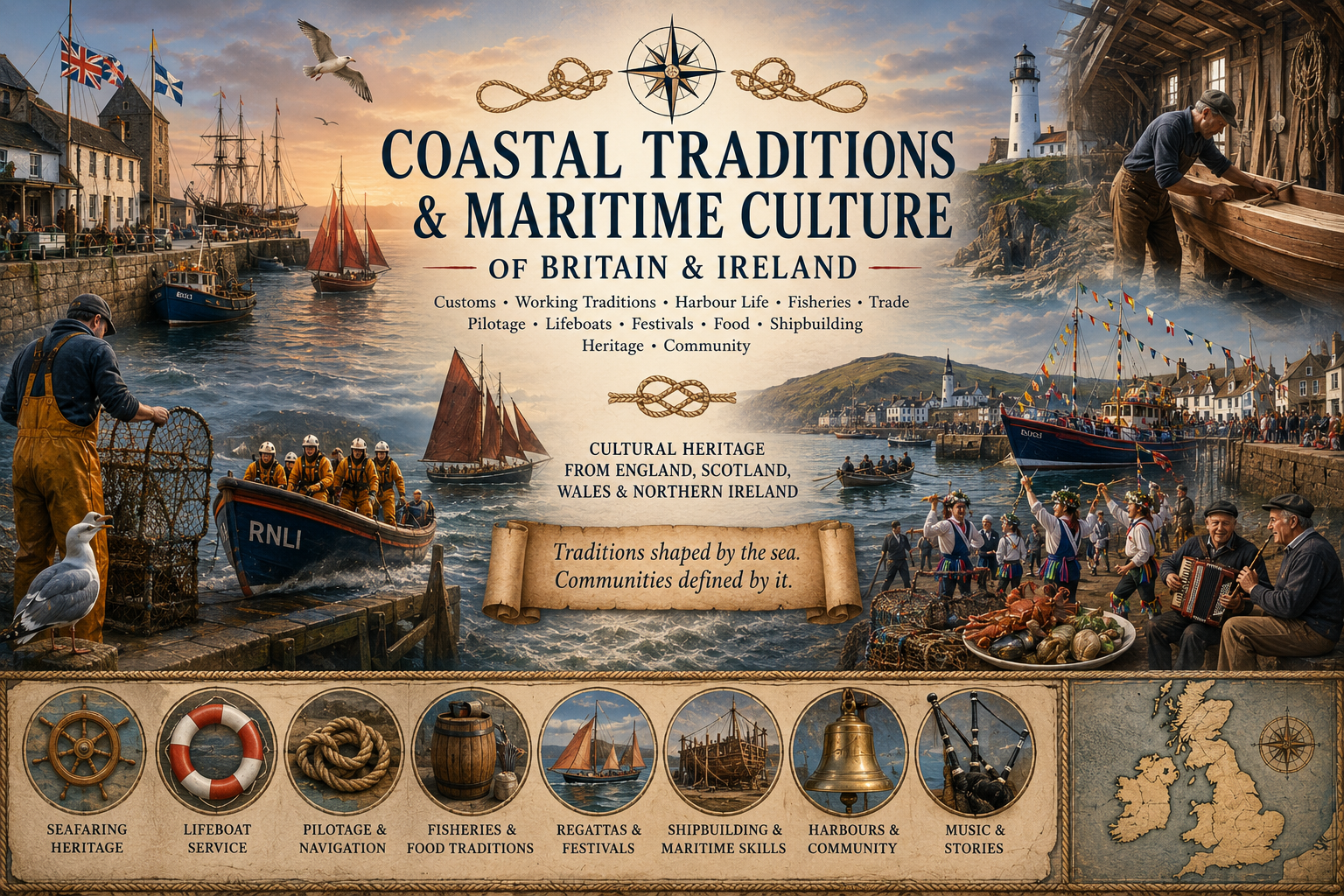
Local customs associated with the sea are generally practical rather than ceremonial. Thames sailing barge matches remain among the most recognisable survivals of the traditional working fleet, demonstrating the handling qualities of vessels originally designed for commerce rather than racing. Although these events now take place principally as heritage competitions, they preserve sailing techniques and seamanship developed for everyday estuary trading. Yacht clubs throughout the Medway and Swale also maintain racing calendars that reflect the particular demands of tidal waters, with start times and courses frequently governed by the state of the tide rather than fixed schedules.
Harbour communities retain close links with volunteer lifeboat services, harbour authorities and pilot organisations whose work reflects the continuing complexity of navigation in the estuary. Mariners remain accustomed to consulting tidal predictions, notices to mariners and local navigational information before undertaking passages. Such habits represent continuity with earlier practice, even though the methods employed have changed considerably. Ferry services have likewise provided longstanding links across local waters where direct land routes were limited, although individual crossings have altered or ceased according to changing transport needs.
The marshes, sea walls and creeks that characterise much of the North Kent shoreline have encouraged a distinctive relationship between land and water. Many former loading places now serve recreational craft, while preserved sailing barges continue to navigate waters once occupied by extensive commercial fleets. Regional variation should be recognised, as traditions differ between the Medway towns, the Swale, Sheppey and the outer estuary, but the common influence of tide, mud and shallow navigation remains evident throughout.
Present-day North Kent continues to display strong continuity with its maritime past. Modern ports, recreational boating, remaining fisheries and the preservation of Thames sailing barges all reflect an estuary where commercial activity, navigation and local seamanship remain closely connected to the natural conditions of the coast. For the visiting mariner, these traditions are encountered less through formal display than through the continued practical use of waterways whose character has altered remarkably little despite significant changes in the vessels that now navigate them.
- The UK Coastal Operating Guide
- Coastal Traditions & Maritime Culture of Britain and Northern Ireland
- Coastal Myths & Legends of Britain & Northern Ireland

Comments