


Poole Harbour
Overview
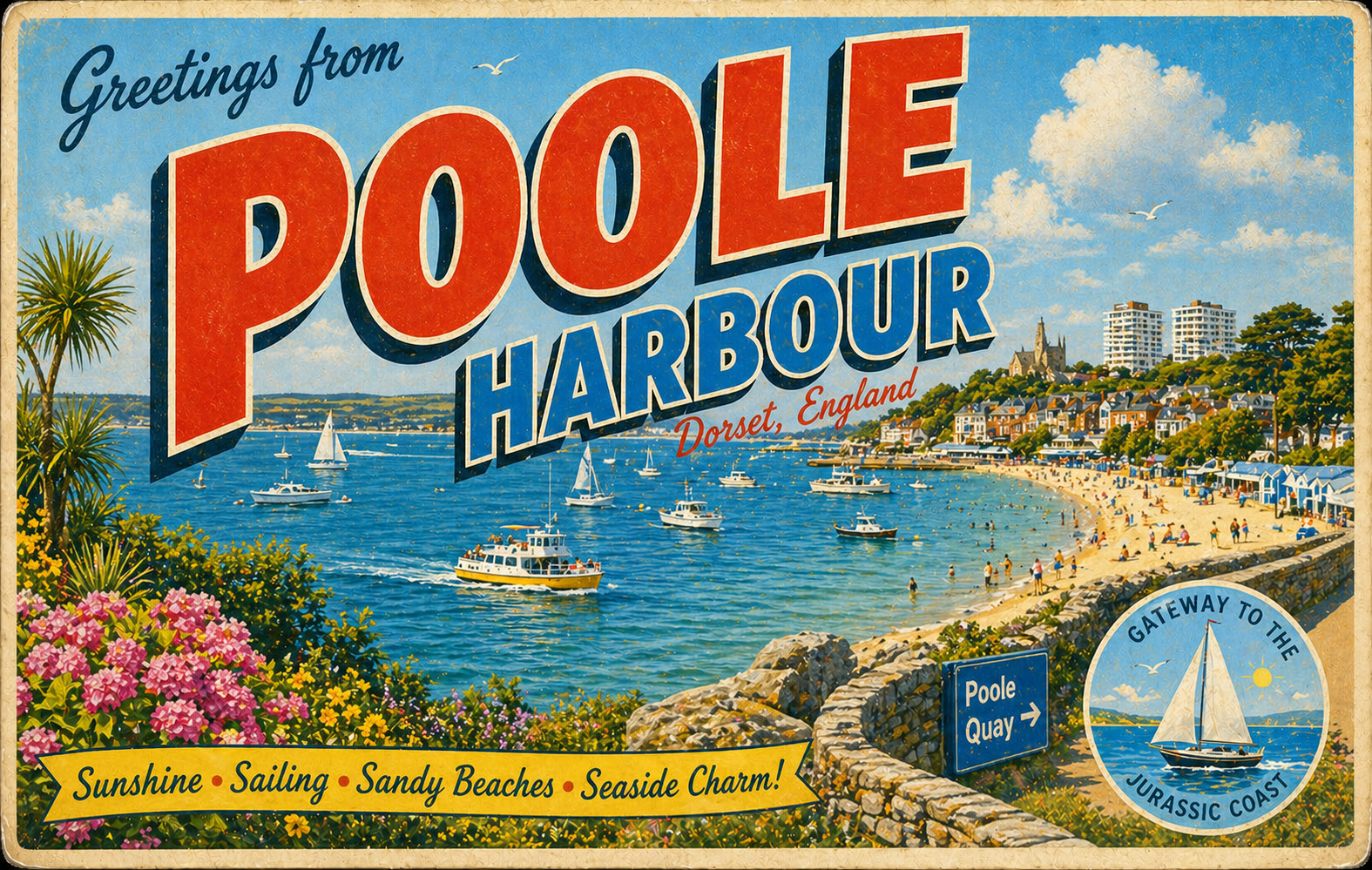
Poole Harbour is a large natural harbour on the south coast of England, formed by a shallow estuarine system with extensive tidal flats and winding channels. It is generally regarded as a sheltered water body, though conditions can vary significantly between inner and outer sections.
The harbour is surrounded by low-lying land and a mixture of urban and semi-natural coastline. Navigation can be constrained in places by shifting sands and marked channels, particularly away from the main entrances.
Local Operating Context (for Liveaboard Boaters)
The harbour provides a broad area of navigable water, but movement is influenced by tidal range and channel alignment. Care is often required when transiting between deeper sections and shallower peripheral areas.
Wind exposure tends to increase in the outer harbour and along open stretches, while inner areas may feel more protected. However, shelter can be uneven depending on direction and local geography.
Traffic levels can be higher during peak recreational periods, particularly around popular sailing routes and approach channels. Awareness of marked navigation routes is generally important.
Mooring and anchoring conditions vary and may be affected by seabed type, tidal flow, and local restrictions in certain zones.
Typical Conditions
- Moderate tidal range with noticeable current in channels
- Generally sheltered waters with exposed outer sections
- Variable visibility in changing weather systems
- Occasional choppy conditions in open stretches
Access & Shelter
- Multiple entry points subject to tidal state and weather
- Inner harbour areas can offer increased shelter in settled conditions
- Outer harbour may be exposed to wind and wave build-up
- Channel navigation may require careful attention in low visibility
Shore Interaction
- Extensive developed shoreline in some sections
- Intertidal zones limiting landing opportunities in places
- Mix of urban, industrial, and natural coastal margins
- Access to shore may vary depending on tidal height
Risk Factors
- Strong tidal streams in constricted channels
- Shifting sands and shallow areas outside marked routes
- Wind exposure in open water sections
- Increased recreational traffic during peak seasons
Overall Character
The harbour has a mixed character, combining busy sheltered waters with quieter peripheral areas. It often requires attentive navigation but can provide extensive cruising space in suitable conditions.
Notable Locations
-
Brownsea Island - sheltered central island area with surrounding shallow waters and wildlife conservation zones affecting navigation
-
Studland Bay - open coastal bay nearby that can be exposed to easterly or southerly conditions
-
Wareham Channel - tidal river section leading inland, influenced by shallow banks and changing currents
-
Poole Bay entrance - outer approach area where conditions may be more exposed to open sea influences
Practical Mooring & Anchorage Locations
Poole Quay Boat Haven
- Type: Marina
- Shelter: Good protection from northerly and westerly winds within the inner harbour basin
- Exposure: Can become choppy with strong easterly winds entering the harbour mouth
- Key Constraints: Busy harbour entrance; tidal considerations when approaching via main channel; limited space during peak periods
- Traffic Level: High
- Liveaboard Suitability: Medium
- Notes: Central location with direct access to town facilities. Often busy with short-stay and visitor traffic.
Cobb's Quay Marina
- Type: Marina
- Shelter: Well sheltered from most directions within Holes Bay and adjacent waters
- Exposure: Outer approach can be affected by wind funneling in strong south-easterlies
- Key Constraints: Navigational approach via marked channels; tidal timing helpful in deeper-draft vessels
- Traffic Level: Medium
- Liveaboard Suitability: High
- Notes: Popular residential marina with established long-stay facilities. Generally stable conditions once inside.
Salterns Marina (Lilliput)
- Type: Marina
- Shelter: Good shelter in most conditions, particularly from northerly and westerly winds
- Exposure: Can experience light chop in strong easterly winds across the main harbour
- Key Constraints: Depth restrictions at low water in surrounding approaches; careful navigation required outside marked channels
- Traffic Level: Medium
- Liveaboard Suitability: High
- Notes: Established marina with convenient access to Poole Harbour central waters. Suitable for extended stays.
Parkstone Bay Marina
- Type: Marina
- Shelter: Generally well protected within Parkstone Bay from prevailing westerlies and northerlies
- Exposure: More open to easterly winds across the wider harbour area
- Key Constraints: Narrow approach channel; tidal state affects access for deeper vessels
- Traffic Level: Medium
- Liveaboard Suitability: Medium
- Notes: Smaller, quieter marina compared to central Poole facilities. Suitable for those preferring less busy surroundings.
Brownsea Island
- Type: Anchorage
- Shelter: Good shelter in moderate conditions depending on anchorage position relative to wind direction
- Exposure: Can become uncomfortable in strong easterly or southerly winds with fetch across open water
- Key Constraints: Conservation zones and designated restrictions in surrounding waters; careful anchoring required to avoid protected areas
- Traffic Level: Low to Medium
- Liveaboard Suitability: Medium
- Notes: Popular anchorage with scenic surroundings. Short-term stays are more common due to environmental sensitivity.
Wareham Channel
- Type: Estuary / River Mooring
- Shelter: Generally well sheltered within the inland channel system
- Exposure: Limited exposure except in strong wind funneling along the channel
- Key Constraints: Strong tidal streams in places; shallow margins outside the main navigable channel; careful passage required
- Traffic Level: Low
- Liveaboard Suitability: Medium
- Notes: Quieter inland environment with a more natural setting. Depth and tidal planning are important for extended stays.
Operational Support Infrastructure (Public Services)
Healthcare
Healthcare services are primarily located in surrounding urban areas, with access depending on proximity to shoreline settlements and transport links.
Emergency Services
Emergency response coverage is provided through regional maritime and land-based services, with response times influenced by tidal access and location within the harbour system.
Postal Services
Postal facilities are available in nearby towns and settlements around the harbour perimeter, rather than on the water itself.
Civic Services
Civic administration and harbour management functions are based in adjacent local authority areas, with regulations applying to navigation and environmental protection.
Visitor Information
Visitor information is generally available in surrounding coastal towns, offering guidance on access, seasonal conditions, and local navigation considerations.
Practical Notes for Boaters
This section will be developed over time based on direct experience and relevant contributions. The focus is on practical usefulness rather than completeness.
From the Project
Observations and notes from the ongoing boat conversion and coastal exploration project will be added here as they become available.
Related Knowledge Base
- Coastal erosion processes
- Sedimentary rock formations
- Harbour types and access
- Tidal patterns and coastal conditions
Status
This is part of a growing coastal index. Content will be expanded over time as the project develops.
