


Suffolk Coast
Overview
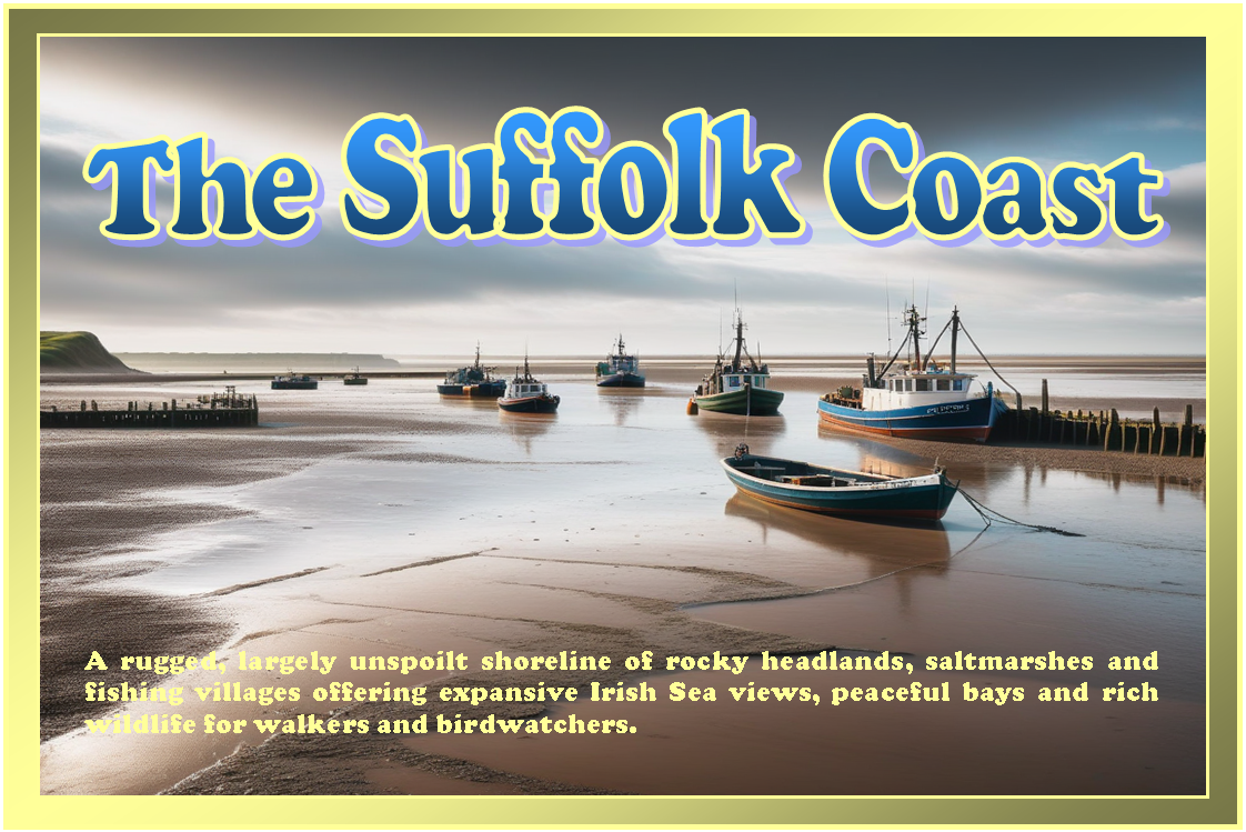
The Suffolk Coast in eastern England is characterised by low-lying land, shingle beaches, estuaries, and open exposure to the North Sea. Conditions can vary significantly with weather and tide, and shelter is often limited outside of estuarine areas. The coastline includes a mixture of rural shoreline, small settlements, and shifting coastal features influenced by longshore drift and tidal movement.
Local Operating Context (for Liveaboard Boaters)
Typical Conditions
- Generally exposed to easterly and north-easterly winds with limited natural protection along open stretches.
- Tidal streams in estuaries can be locally strong and influenced by seasonal changes.
- Sea state may build quickly in unsettled weather due to shallow offshore gradients.
- Visibility can vary, with occasional sea mist or low cloud affecting navigation.
Access & Shelter
- Estuaries and river mouths may provide partial shelter, depending on tide and wind direction.
- Shingle banks and offshore bars can influence access routes and anchoring behaviour.
- Some coastal stretches are relatively open, offering limited refuge in adverse conditions.
- Careful passage planning is often required due to shifting sands and shallow approaches.
Shore Interaction
- Landing opportunities may be constrained by shelving shingle or soft sediment beaches.
- Settlements are generally small and spaced out along the coastline.
- Access to services from shore can require inland travel from landing points.
- Some areas may be environmentally sensitive with restricted access zones.
Risk Factors
- Exposure to North Sea weather systems can lead to rapidly changing conditions.
- Sandbanks and shifting channels may affect navigation accuracy.
- Strong tidal flows in estuaries can complicate manoeuvring at certain states of tide.
- Limited shelter options along open coastline increase reliance on planning.
Overall Character
The Suffolk Coast has a subdued and open character, with long stretches of relatively undeveloped shoreline. It often feels exposed and changeable, with conditions shaped strongly by wind, tide, and seasonal weather patterns. For coastal cruising and liveaboard operations, it tends to reward cautious navigation and awareness of local tidal behaviour.
Notable Locations
Orford Ness — a long shingle spit forming a shifting coastal landscape with exposed approaches and limited shelter depending on conditions.
Southwold — a small coastal town by the River Blyth, with estuarine influences affecting local shelter and access.
Aldeburgh — a shingle-backed shoreline settlement near the Alde estuary, where tidal conditions can shape nearby waters.
Felixstowe — a major harbour and estuary area on the Orwell and Stour, with strong tidal streams and significant shipping activity nearby.
Practical Mooring & Anchorage Locations
Felixstowe
- Type: Harbour / Port
- Shelter: Well sheltered from easterly and southerly winds within harbour limits; exposed at outer approaches in strong northerlies and easterlies.
- Exposure: North Sea swell can affect entrance in onshore winds; strong tidal streams in the Orwell/Stour approaches.
- Key Constraints: Heavy commercial shipping traffic, VTS reporting requirements, tidal timing critical for safe approach and manoeuvring.
- Traffic Level: High
- Liveaboard Suitability: Medium
- Notes: Secure berthing available inside port areas but operational constraints are significant. Not suitable for casual anchoring due to commercial activity.
Ipswich Haven Marina
- Type: Marina / River Mooring
- Shelter: Well sheltered from most wind directions within the River Orwell.
- Exposure: Limited exposure inside marina, but river approach can be affected by wind over tide conditions.
- Key Constraints: Strong tidal flow on the Orwell, tidal access timing required depending on passage route.
- Traffic Level: Medium
- Liveaboard Suitability: High
- Notes: Established liveaboard community with good facilities and long-stay options. River navigation requires attention to tidal timing.
Tidemill Yacht Harbour, Woodbridge
- Type: Marina / River Mooring
- Shelter: Good shelter from most directions within the River Deben.
- Exposure: Outer river bar can be exposed in easterly conditions and requires careful timing.
- Key Constraints: Shallow and shifting entrance bar, tidal access restrictions, strong ebb flow on departure.
- Traffic Level: Medium
- Liveaboard Suitability: High
- Notes: Popular cruising and liveaboard location with strong tidal influence. Entry and exit planning is essential due to the river mouth.
Southwold Harbour
- Type: Harbour / Estuary Mooring
- Shelter: Moderate shelter within River Blyth depending on wind direction and tide state.
- Exposure: Exposed outer bar and coastal approaches in easterly or north-easterly winds.
- Key Constraints: Bar-controlled entrance, limited depth at low tide, strong tidal streams on entry and exit.
- Traffic Level: Low
- Liveaboard Suitability: Medium
- Notes: Small working harbour with seasonal variation in usability. Suitable for short to medium stays with careful tidal planning.
Aldeburgh / River Alde-Ore
- Type: Anchorage / Estuary
- Shelter: Good shelter within the estuary from most directions except strong easterlies.
- Exposure: Outer estuary and shingle spit areas exposed to North Sea swell and wind-driven chop.
- Key Constraints: Narrow, shifting channels, tidal dependence for safe navigation, limited formal moorings.
- Traffic Level: Low
- Liveaboard Suitability: Medium
- Notes: Anchorage quality varies with position and tide state. Requires strong local knowledge or careful pilotage due to shifting sands.
Lowestoft Harbour
- Type: Harbour / Marina
- Shelter: Good shelter inside harbour and marina basins from most wind directions.
- Exposure: Entrance can be affected by easterly swell and strong tidal flow during adverse conditions.
- Key Constraints: Commercial fishing and port activity, navigation channels must be followed, tidal considerations on entry.
- Traffic Level: High
- Liveaboard Suitability: High
- Notes: One of the more reliable all-weather options on the Suffolk coast. Good access to services and long-stay berthing availability.
Operational Support Infrastructure (Public Services)
Healthcare
Healthcare facilities along the Suffolk coastline are generally concentrated in larger coastal and nearby market towns, with smaller communities supported by local clinics, health practices, and wider regional healthcare networks.
Emergency Services
Emergency service coverage is delivered across coastal, estuarine, and rural environments, with operational access in some areas shaped by tidal landscapes, seasonal visitor activity, and the distribution of settlements.
Postal Services
Postal provision is based around principal towns and village service points, while more remote coastal and countryside locations are incorporated into broader rural delivery arrangements.
Civic Services
Civic and administrative services are coordinated through local authority frameworks serving both coastal communities and inland areas, with facilities distributed across several established population centres.
Visitor Information
Visitor information is commonly provided within prominent seaside towns and heritage destinations, with smaller coastal settlements often relying on seasonal or locally managed tourism resources.
Practical Notes for Boaters
This section will be developed over time based on direct experience and relevant contributions. The focus is on practical usefulness rather than completeness.
From the Project
Observations and notes from the ongoing boat conversion and coastal exploration project will be added here as they become available.
Related Knowledge Base
- Coastal erosion processes
- Sedimentary rock formations
- Harbour types and access
- Tidal patterns and coastal conditions
Status
This is part of a growing coastal index. Content will be expanded over time as the project develops.
