Tees & Hartlepool Coast
Overview
This section of the north-east coast is shaped by the River Tees estuary and the developed frontage around Hartlepool. The shoreline combines industrial infrastructure with open coastal stretches, where exposure to North Sea conditions can be notable. Much of the immediate coast is engineered, with river walls, breakwaters, and harbour structures defining access.
The area reflects a working maritime environment, with commercial activity influencing navigation patterns. Beyond the estuary, the coastline becomes more open, offering limited natural shelter and a direct aspect to prevailing easterly winds.
Local Operating Context (for Liveaboard Boaters)
Navigation is often influenced by tidal movement within and around the River Tees, where flows can be strong and variable. Careful timing may be required, particularly when entering or leaving the estuary.
Commercial vessel traffic is a consistent factor, requiring attention to designated channels and general navigation practice. Smaller vessels may need to remain clear of main shipping routes and maintain awareness of larger movements.
Along the open coast, stopping opportunities are limited, and conditions can change quickly with wind and sea state. Passage planning tends to focus on known entry points rather than relying on intermediate shelter.
Shore access varies, with some stretches constrained by sea defences or industrial frontage. Practical landing may depend on specific locations and suitable tidal conditions.
Typical Conditions
- Moderate to strong tidal streams near the estuary
- Exposure to easterly and north-easterly winds
- Short, steep waves in onshore conditions
- Occasional reduced visibility in coastal weather
Access & Shelter
- Shelter mainly associated with harbour and estuary areas
- Limited natural refuge along open coast
- Entry conditions may depend on tide and sea state
- Engineered structures can offer partial protection
Shore Interaction
- Access often limited by sea defences and industrial frontage
- Landing points may be functional rather than informal
- Some areas allow limited access at suitable states of tide
- Caution may be needed near submerged or artificial structures
Risk Factors
- Commercial traffic in and around the estuary
- Strong and variable tidal streams
- Exposure to open sea conditions with limited shelter
- Potential obstructions near harbour approaches
Overall Character
This coastline presents a predominantly functional maritime setting, interspersed with exposed coastal stretches. It is generally more suited to planned passages between access points than extended coastal cruising, with conditions and usability often dependent on timing and awareness.
Notable Locations
-
River Tees Estuary – Main navigation approach with defined channels and strong tidal influence.
-
Hartlepool – Harbour area with structured access, subject to local conditions.
-
Seaton Carew – Open coastal frontage with limited shelter and direct exposure.
-
Tees Bay – Broad coastal area where sea conditions can build in onshore winds.
Practical Mooring & Anchorage Locations
Hartlepool Marina
- Type: Marina
- Shelter: Well protected from most directions inside enclosed marina basin.
- Exposure: Entrance approaches can become uncomfortable in strong easterly or north-easterly conditions.
- Key Constraints: Lock access and marina operating procedures apply; commercial and fishing traffic nearby.
- Traffic Level: Medium
- Liveaboard Suitability: High
- Notes: Established marina with regular leisure craft use. Shore access and local services are straightforward.
Victoria Harbour, Hartlepool
- Type: Harbour
- Shelter: Good shelter within harbour limits from prevailing coastal conditions.
- Exposure: Harbour entrance affected by heavy swell during prolonged easterlies.
- Key Constraints: Commercial and fishing activity requires caution; tidal streams present near approaches.
- Traffic Level: Medium
- Liveaboard Suitability: Medium
- Notes: Functional harbour environment with established marine use. Better suited to short stays than informal anchoring.
River Tees Yacht Club Moorings
- Type: River Mooring
- Shelter: Protected from open sea conditions within the river system.
- Exposure: Strong winds funneling along the river can create uncomfortable conditions.
- Key Constraints: Strong tidal flows and nearby commercial navigation channels.
- Traffic Level: Medium
- Liveaboard Suitability: Medium
- Notes: Regularly used by local leisure craft. Access and manoeuvring require awareness of river traffic.
Middlesbrough Dock Area
- Type: Harbour
- Shelter: Good protection within enclosed dock and river infrastructure.
- Exposure: Less comfortable during strong wind-against-tide conditions in the river approaches.
- Key Constraints: Commercial operations, controlled access areas, and tidal considerations.
- Traffic Level: High
- Liveaboard Suitability: Low
- Notes: Primarily a working port environment. Leisure use may be limited by operational restrictions.
Tees Bay Anchorage
- Type: Anchorage
- Shelter: Limited shelter in settled offshore conditions with westerly winds.
- Exposure: Highly exposed to easterly and north-easterly seas and swell.
- Key Constraints: Open roadstead conditions with limited protection and nearby shipping activity.
- Traffic Level: Medium
- Liveaboard Suitability: Low
- Notes: Occasionally used as a temporary waiting anchorage in suitable weather. Not reliable for extended stays.
Operational Support Infrastructure (Public Services)
Healthcare
Healthcare services are available within nearby towns, with hospital facilities located inland. Access depends on proximity to established urban areas.
Emergency Services
Emergency services, including coastguard coordination, operate along this stretch of coast. Response may vary depending on location and conditions.
Postal Services
Postal services are accessible within coastal settlements and nearby towns, depending on location.
Civic Services
Local authorities provide standard civic services, including waste management and transport infrastructure, centred around larger population areas.
Visitor Information
General visitor information is available through regional and local sources, typically focused on broader area guidance.
Practical Notes for Boaters
This section will be developed over time based on direct experience and relevant contributions. The focus is on practical usefulness rather than completeness.
From the Project
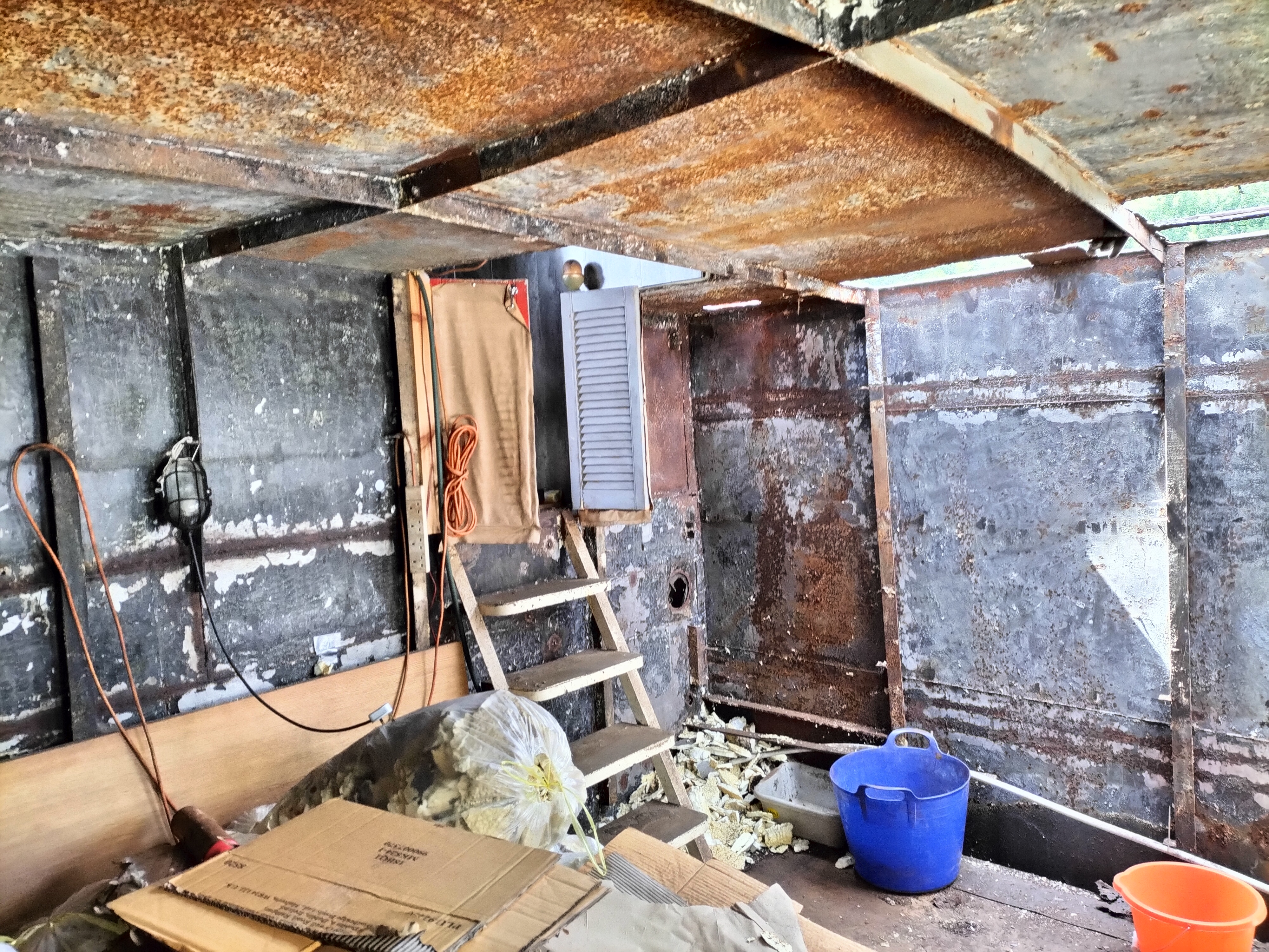
Observations and notes from the ongoing boat conversion and coastal exploration project will be added here as they become available.
Related Knowledge Base
- Coastal erosion processes
- Sedimentary rock formations
- Harbour types and access
- Tidal patterns and coastal conditions
Status
This is part of a growing coastal index. Content will be expanded over time as the project develops.