Tyne & Wear Coast
Overview
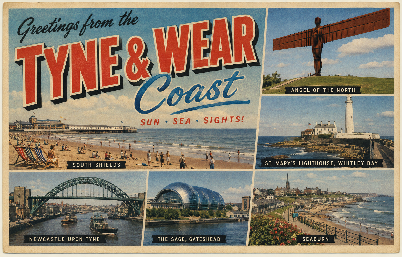
The Tyne and Wear coast lies along the central section of England’s North Sea shoreline, characterised by a mix of urban frontage, sandy bays, and engineered river entrances. The coastline is shaped by industrial heritage and ongoing maritime use, particularly around the River Tyne.
Open exposure to the North Sea defines much of the area, with relatively few natural inlets. Conditions can shift quickly with weather systems moving across the North Sea, and the coastline often presents a direct aspect to easterly and northerly winds.
Local Operating Context (for Liveaboard Boaters)
Navigation in this area is strongly influenced by tidal movements, especially within the River Tyne, where currents can be pronounced and timing is often relevant to safe passage. Outside sheltered river sections, opportunities for prolonged anchorage are limited.
The coastline is generally linear, with limited natural shelter between river mouths and constructed harbours. Boaters may need to plan movements carefully around tidal windows and weather conditions rather than rely on frequent stopping points.
Urban development along parts of the coast means that shore access is often defined by port infrastructure, promenades, or managed waterfronts. Informal landing points can be limited and may depend on local conditions.
Seasonal variations in sea state and daylight hours can affect usability, with winter months bringing more frequent swell and stronger winds. Sea conditions can become uncomfortable or restrictive in exposed stretches.
Typical Conditions
- Moderate to strong tidal flows, particularly within river channels
- Exposure to North Sea swell, especially in easterly winds
- Variable sea states, with choppiness developing quickly in wind-against-tide situations
- Cool temperatures and changing visibility, including sea mist at times
Access & Shelter
- Shelter primarily available within the River Tyne and constructed harbour areas
- Limited natural anchorages along the open coast
- Harbour entrances may require attention in swell conditions
- Opportunities for stopping can depend on timing and conditions rather than distance alone
Shore Interaction
- Access often via urban waterfronts, piers, or designated landing areas
- Some stretches backed by promenades or coastal defences
- Direct beach landings may be possible in calmer conditions but can be exposed
- Facilities inland are generally accessible but not always immediately adjacent to landing points
Risk Factors
- Exposure to open sea conditions with limited fallback options
- Strong tidal streams in confined river sections
- Changing weather patterns affecting sea state and visibility
- Commercial and recreational traffic in and around the River Tyne
Overall Character
This stretch of coastline presents a practical but sometimes demanding environment for liveaboard boating. It combines accessible river navigation with more exposed coastal passages, where planning and awareness of conditions are important. The setting is shaped by both natural exposure and developed waterfronts.
Notable Locations
-
River Tyne – A tidal river offering more sheltered navigation, though currents and traffic require attention.
-
Tynemouth – Coastal headland at the river mouth, often exposed but a key reference point for navigation.
-
Sunderland – Urban coastal area with harbour access, conditions at the entrance can vary with swell.
-
Seaham – Smaller harbour setting along an otherwise open stretch, offering limited refuge depending on conditions.
Practical Mooring & Anchorage Locations
Royal Quays Marina
- Type: Marina
- Shelter: Well sheltered from all directions within the River Tyne.
- Exposure: Entrance conditions can become uncomfortable during strong easterly swell.
- Key Constraints: Tidal river currents, commercial traffic, and lock or marina access procedures may apply.
- Traffic Level: Medium
- Liveaboard Suitability: High
- Notes: One of the main long-term berthing locations in the area. Good access to services and transport.
South Shields Marina
- Type: Marina
- Shelter: Strong shelter inside the River Tyne entrance.
- Exposure: River entrance affected by swell and wind-against-tide conditions.
- Key Constraints: Busy navigation area with commercial and recreational vessel traffic.
- Traffic Level: High
- Liveaboard Suitability: High
- Notes: Established marina with regular cruising traffic. Suitable for extended stays in most conditions.
Sunderland Harbour
- Type: Harbour
- Shelter: Protected within the harbour and lower River Wear.
- Exposure: Harbour entrance can become difficult in heavy easterly swell.
- Key Constraints: Tidal flow at the river entrance and commercial harbour activity.
- Traffic Level: Medium
- Liveaboard Suitability: Medium
- Notes: Practical refuge on an otherwise exposed coastline. Shore access and urban facilities are nearby.
Seaham Harbour
- Type: Harbour
- Shelter: Good shelter once inside harbour walls.
- Exposure: Entrance exposed to easterly and north-easterly swell.
- Key Constraints: Limited space and conditions at the entrance may restrict access during rough weather.
- Traffic Level: Low
- Liveaboard Suitability: Low
- Notes: Primarily a refuge and short-stay harbour. Less suited to prolonged liveaboard use.
River Tyne Upper Reaches
- Type: River Mooring
- Shelter: Strong protection from open sea conditions within inland river sections.
- Exposure: Gusty conditions possible near industrial and open riverfront areas.
- Key Constraints: Strong tidal streams, navigation rules, and commercial traffic movements.
- Traffic Level: Medium
- Liveaboard Suitability: Medium
- Notes: Various mooring opportunities exist upriver. Suitability depends heavily on local permissions and facilities.
River Wear Marina
- Type: Marina
- Shelter: Sheltered within the River Wear.
- Exposure: Access affected by swell near the harbour entrance during easterly conditions.
- Key Constraints: Tidal river navigation and limited manoeuvring space in some sections.
- Traffic Level: Medium
- Liveaboard Suitability: Medium
- Notes: Provides more secure berthing than open coastal stops nearby. Access planning is important in poor weather.
Operational Support Infrastructure (Public Services)
Healthcare
Healthcare services are available within nearby urban centres, with hospitals and clinics typically located inland from the immediate waterfront.
Emergency Services
Coastal and maritime emergency response services operate along this stretch, supported by national systems and local stations positioned near key access points.
Postal Services
Postal services are accessible within surrounding towns and city areas, generally requiring travel from landing points into residential or commercial districts.
Civic Services
Local authorities provide standard civic services across the coastal settlements, including waste management and public amenities, though direct access from the water may vary.
Visitor Information
Visitor information is typically available within town centres and public facilities, offering general guidance on the area rather than marine-specific advice.
Practical Notes for Boaters
This section will be developed over time based on direct experience and relevant contributions. The focus is on practical usefulness rather than completeness.
From the Project
Observations and notes from the ongoing boat conversion and coastal exploration project will be added here as they become available.
Related Knowledge Base
- Coastal erosion processes
- Sedimentary rock formations
- Harbour types and access
- Tidal patterns and coastal conditions
Status
This is part of a growing coastal index. Content will be expanded over time as the project develops.