




Carlingford Lough
Overview
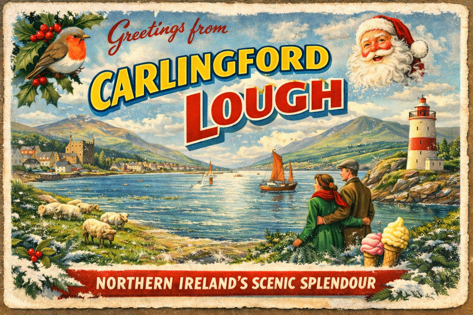
Carlingford Lough is a long, narrow sea inlet forming part of the border between Northern Ireland and the Republic of Ireland. It opens into the Irish Sea and extends inland towards the town of Carlingford. The surrounding landscape is defined by rising ground and a mix of rural and small settlement areas, with a generally enclosed character compared to more exposed coastal stretches.
Local Operating Context (for Liveaboard Boaters)
Typical Conditions
- Conditions can vary between relatively calm inner waters and more exposed areas nearer the mouth of the lough.
- Tidal flows are present throughout and may be more noticeable in narrower sections.
- Wind direction has a strong influence on surface conditions, particularly when aligned with the length of the lough.
- Visibility can be reduced at times due to coastal weather patterns and low cloud.
Access & Shelter
- The lough offers a degree of natural enclosure, particularly further inland.
- Shelter may be limited in more open stretches depending on wind direction.
- Approaches from the Irish Sea can be affected by changing conditions and should be assessed with care.
- Anchoring suitability varies and depends on local seabed and exposure.
Shore Interaction
- Shore access is generally possible in settled conditions, though it may depend on landing points and tidal range.
- The coastline includes a mix of small settlements, rural land, and undeveloped shoreline.
- Interaction with shore facilities is limited in more remote sections.
- Care may be needed when approaching shallow or uneven coastal margins.
Risk Factors
- Shifting weather conditions can affect both sea state and visibility.
- Tidal streams may influence manoeuvrability, especially in confined areas.
- Exposure near the lough entrance can increase in certain wind and swell combinations.
- Shallow areas and localised hazards may be present and require cautious navigation.
Overall Character
Carlingford Lough presents a relatively contained coastal environment with variable exposure depending on position and conditions. It combines sheltered stretches with areas that can become more open and influenced by the Irish Sea, requiring a balanced and adaptable approach to liveaboard use.
Notable Locations
Carlingford – A historic coastal settlement near the head of the lough, where conditions are often more sheltered.
Warrenpoint – A town on the northern shore with access to mid-lough waters, where tidal movement can be more apparent.
Greenore – Located on the southern side, closer to the lough entrance, where exposure to sea conditions may increase.
Killowen Point – A headland marking part of the northern shoreline, offering a reference point for navigation within the lough.
Practical Mooring & Anchorage Locations
Carlingford Marina
- Type: Marina
- Shelter: Good shelter from most directions, particularly westerly and northerly winds
- Exposure: Some exposure to strong easterlies funneling up the lough
- Key Constraints: Tidal access considerations for deeper draft vessels; marina capacity can be limited
- Traffic Level: Medium
- Liveaboard Suitability: Medium
- Notes: One of the main serviced berthing options in the lough. Access to town facilities is straightforward.
Warrenpoint Harbour
- Type: Harbour
- Shelter: Good shelter from most wind directions due to enclosed setting
- Exposure: Can be affected by strong winds aligned with the lough
- Key Constraints: Commercial traffic and port operations; tidal streams can be noticeable
- Traffic Level: High
- Liveaboard Suitability: Low
- Notes: Primarily a commercial port with limited leisure suitability. Movements of large vessels require caution.
Greenore Harbour
- Type: Harbour
- Shelter: Moderate shelter, particularly from westerly winds
- Exposure: More exposed to easterly winds and swell entering from the Irish Sea
- Key Constraints: Limited berthing space; proximity to lough entrance increases weather influence
- Traffic Level: Medium
- Liveaboard Suitability: Low
- Notes: Useful stopping point near the lough entrance. Conditions can change quickly with offshore weather.
Inner Carlingford Lough (Carlingford Anchorage)
- Type: Anchorage
- Shelter: Good shelter in settled conditions, especially from westerly winds
- Exposure: Easterly winds can create a fetch along the length of the lough
- Key Constraints: Depth variation and seabed holding require assessment; tidal movement present
- Traffic Level: Low
- Liveaboard Suitability: Medium
- Notes: Common anchoring area in the upper lough. Generally quieter than mid-lough locations.
Omeath Shore Moorings
- Type: Mooring
- Shelter: Reasonable shelter from southerly and westerly winds
- Exposure: Exposed to northerly and easterly winds
- Key Constraints: Limited formal facilities; moorings may be privately managed
- Traffic Level: Low
- Liveaboard Suitability: Low
- Notes: Small-scale local mooring area. Suitable for short stays in settled weather.
Narrow Water Anchorage
- Type: Anchorage
- Shelter: Good shelter due to narrowing of the lough and surrounding land
- Exposure: Gusty conditions possible with strong winds funnelling through the narrows
- Key Constraints: Strong tidal streams in constricted channel; navigation requires care
- Traffic Level: Medium
- Liveaboard Suitability: Medium
- Notes: Offers relatively protected holding in suitable conditions. Tidal flow can affect comfort at anchor.
Practical Notes for Boaters
This section will be developed over time based on direct experience and relevant contributions. The focus is on practical usefulness rather than completeness.
From the Project
Observations and notes from the ongoing boat conversion and coastal exploration project will be added here as they become available.
Related Knowledge Base
- Coastal erosion processes
- Sedimentary rock formations
- Harbour types and access
- Tidal patterns and coastal conditions
Status
This is part of a growing coastal index. Content will be expanded over time as the project develops.