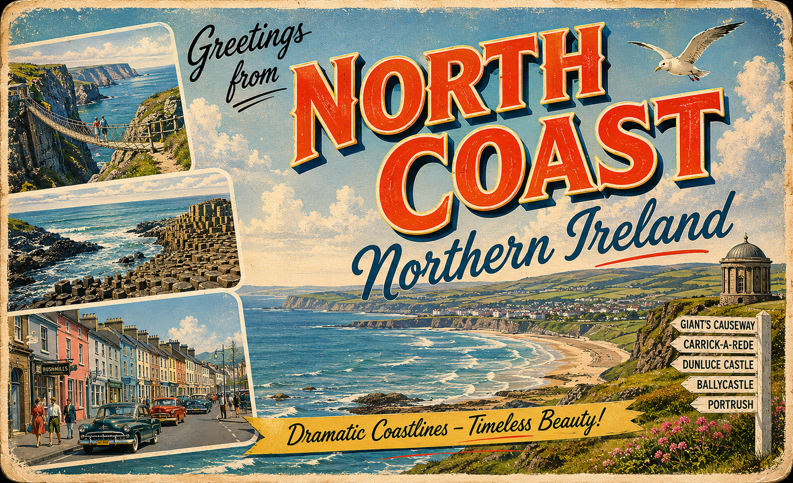
North Coast, Northern Ireland
Overview
The north coast of Northern Ireland is characterised by a rugged and varied shoreline, with stretches of exposed headland interspersed with small bays and inlets. The coastline faces the North Atlantic, and conditions are often shaped by prevailing westerly winds and open sea influence.
Settlements along this stretch are generally small to medium in size, with coastal activity influenced by fishing, tourism, and local transport links. The area is visually striking but can present a relatively demanding environment for extended stays afloat.
Local Operating Context (for Liveaboard Boaters)
For liveaboard boaters, the north coast presents a setting where planning and adaptability are often required. The combination of Atlantic exposure and limited natural shelter in places can influence route planning and duration of stays.
Weather systems tend to move through quickly, and sea states can change within relatively short periods. Boaters may need to remain attentive to forecasts and be prepared to relocate when conditions deteriorate.
Opportunities for anchoring or temporary shelter exist but are not evenly distributed. Some areas may offer partial protection depending on wind direction, though conditions can remain unsettled.
Shore access varies, with some locations allowing relatively straightforward landing, while others are constrained by swell, rocky foreshore, or tidal range. Interaction with land-based services may require flexibility.
Typical Conditions
- Prevailing westerly to north-westerly winds, often strengthening in exposed areas
- Moderate to strong tidal flows in headlands and channels
- Atlantic swell frequently present, particularly in open stretches
- Rapidly changing weather patterns, especially outside settled periods
Access & Shelter
- Limited natural harbours, with shelter often dependent on wind direction
- Some bays may provide temporary refuge in settled conditions
- Headlands and open coastlines can be exposed with little protection
- Entry points may require careful timing due to swell and tide
Shore Interaction
- Mixed landing conditions, including sandy beaches and rocky shores
- Tidal range can affect accessibility at different times of day
- Some coastal settlements accessible within short distance of landing points
- Conditions ashore may limit frequency of access during unsettled weather
Risk Factors
- Exposure to Atlantic swell even in relatively sheltered areas
- Strong tidal streams around prominent headlands
- Limited all-weather refuge along extended stretches
- Weather changes that can outpace longer-term planning
Overall Character
The north coast of Northern Ireland offers a striking but often exposed cruising environment. It may suit those prepared for variable conditions and limited infrastructure, with an emphasis on cautious passage planning and situational awareness.
Notable Locations
-
Portrush – Coastal town with accessible approaches in moderate conditions, though exposure to swell can affect comfort.
-
Ballycastle – Small harbour area offering some shelter, often used as a staging point for coastal transit.
-
Rathlin Island – Offshore island with more varied shelter options, though access depends on sea state and wind direction.
-
Coleraine (River Bann) – River entrance requiring attention to navigation and conditions, potentially offering more sheltered inland waters.
Practical Mooring & Anchorage Locations
Portrush Harbour
- Type: Harbour
- Shelter: Good shelter from southerly and easterly winds
- Exposure: Exposed to northerly and north-westerly swell
- Key Constraints: Swell can make berths uncomfortable; limited space; tidal access considerations
- Traffic Level: Medium
- Liveaboard Suitability: Medium
- Notes: Accessible in moderate conditions but can become unsettled quickly. Primarily used by local and visiting craft.
Ballycastle Harbour
- Type: Harbour / Marina
- Shelter: Well sheltered from most directions including westerlies
- Exposure: Some exposure to strong northerly winds at entrance
- Key Constraints: Busy ferry traffic; berth availability can be limited; tidal considerations minimal
- Traffic Level: High
- Liveaboard Suitability: Medium
- Notes: Common staging point for Rathlin and Scottish crossings. Good shore access and facilities.
Rathlin Island (Church Bay)
- Type: Harbour
- Shelter: Good shelter from southerly and easterly winds
- Exposure: Open to northerly and north-westerly swell
- Key Constraints: Swell penetration in strong conditions; limited berthing space; ferry movements
- Traffic Level: Medium
- Liveaboard Suitability: Medium
- Notes: One of the more reliable stops offshore but conditions vary with swell. Popular with visiting yachts.
Rathlin Island (Mill Bay)
- Type: Anchorage
- Shelter: Shelter from westerly and north-westerly winds
- Exposure: Exposed to easterly and southerly winds
- Key Constraints: Open anchorage; swell can wrap in; holding variable
- Traffic Level: Low
- Liveaboard Suitability: Low
- Notes: Used as a temporary anchorage in settled conditions. Not suitable in changing weather.
River Bann (Coleraine)
- Type: River Mooring
- Shelter: Well sheltered inland from most wind directions
- Exposure: Entrance exposed to swell and surf conditions
- Key Constraints: Bar at river mouth; strong tidal streams; navigation requires care and timing
- Traffic Level: Low
- Liveaboard Suitability: Medium
- Notes: Offers more settled conditions once inside. Entry can be restrictive depending on sea state.
Cushendun Harbour
- Type: Harbour
- Shelter: Partial shelter from southerly winds
- Exposure: Exposed to northerly and easterly swell
- Key Constraints: Small and shallow; limited berthing; surge in unsettled weather
- Traffic Level: Low
- Liveaboard Suitability: Low
- Notes: Suitable for short stops in settled conditions only. Not a reliable overnight location.
Operational Support Infrastructure (Public Services)
Healthcare
Healthcare facilities are available in larger coastal towns and inland centres, with more comprehensive services typically located further from smaller settlements.
Emergency Services
Emergency response services operate along the coast, with coverage extending to maritime incidents, though response times may vary depending on location and conditions.
Postal Services
Postal services are present in established towns, with more limited provision in smaller or remote coastal communities.
Civic Services
Basic civic amenities are available in populated areas, while more remote stretches of coastline may have minimal direct access to such services.
Visitor Information
Visitor information is generally available in larger towns and seasonal centres, offering general guidance on the area and local conditions.
Practical Notes for Boaters
This section will be developed over time based on direct experience and relevant contributions. The focus is on practical usefulness rather than completeness.
From the Project
Observations and notes from the ongoing boat conversion and coastal exploration project will be added here as they become available.
Related Knowledge Base
- Coastal erosion processes
- Sedimentary rock formations
- Harbour types and access
- Tidal patterns and coastal conditions
Status
This is part of a growing coastal index. Content will be expanded over time as the project develops.