Caithness and Wick
Overview
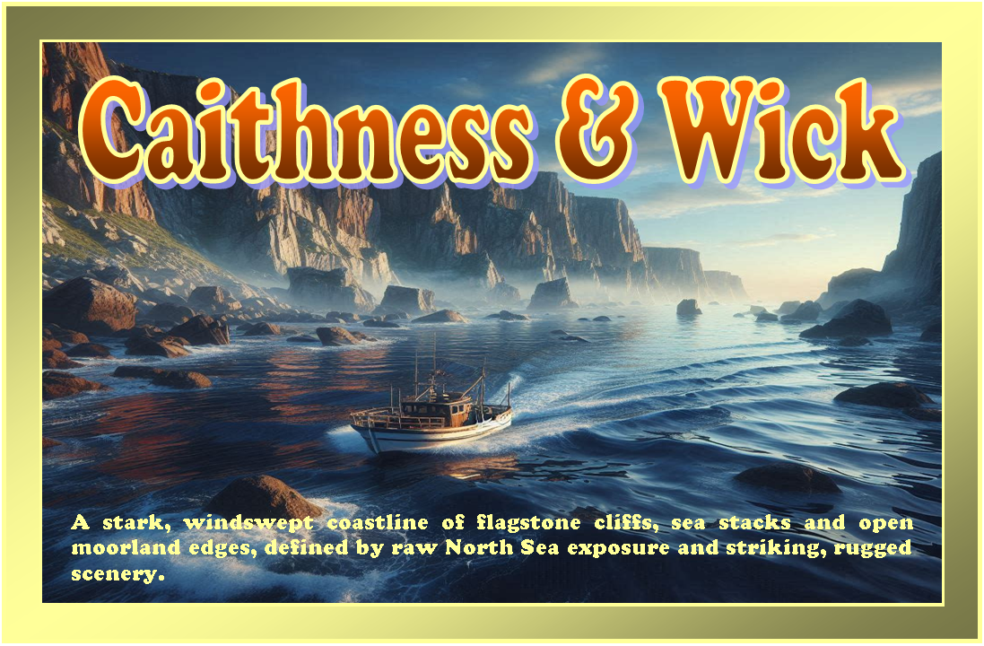
The Caithness coastline, including the town of Wick, forms part of the far north-eastern edge of mainland Scotland. This is an open and often exposed stretch of coast facing the North Sea, characterised by cliffs, rocky inlets, and limited natural harbours. The area is sparsely populated, with long distances between settlements and few sheltered anchorages. Conditions are strongly influenced by northerly and easterly weather systems, and the proximity to the Pentland Firth introduces additional tidal complexity.
Local Operating Context (for Liveaboard Boaters)
Typical Conditions
- Often exposed to northerly and easterly winds, which can build significant sea states
- Cool water temperatures and frequent overcast conditions
- Strong tidal streams in nearby waters, particularly towards the Pentland Firth
- Weather patterns can change quickly, requiring close monitoring
Access & Shelter
- Limited natural shelter along much of the coastline, with few indentations offering protection
- Harbour access points exist but may be constrained by swell and weather direction
- Entry and exit can be tide-dependent in some locations
- Extended passages between viable stopping points may be necessary
Shore Interaction
- Shore access is often via small harbours or landing points where conditions allow
- Facilities and services are limited and may not be consistently available
- Settlements are small and widely spaced along the coast
- Landing in exposed areas may be difficult in anything other than settled conditions
Risk Factors
- Exposure to open sea conditions with limited fallback options
- Strong and potentially turbulent tidal flows in surrounding waters
- Rocky shoreline with few safe landing points
- Rapid weather deterioration can increase risk if not anticipated
Overall Character
This is a remote and uncompromising coastline that demands careful planning and a cautious approach. While it offers a sense of isolation and open seascape, it provides relatively few opportunities for sheltered living afloat. Suitability for liveaboard use often depends on weather windows and a willingness to operate within constrained conditions.
Notable Locations
Wick – A small harbour town providing one of the more accessible points along this stretch, though conditions at the entrance can be affected by swell.
Duncansby Head – A prominent headland marking the north-eastern tip of mainland Britain, with strong tidal influences and exposed seas.
Keiss Bay – A wide, open bay offering limited shelter, generally dependent on calm conditions and favourable wind direction.
Dunbeath – A small coastal settlement with a narrow harbour area, where access may be restricted by sea state and local conditions.
Practical Mooring & Anchorage Locations
Wick Harbour
- Type: Harbour / Marina
- Shelter: Protected from easterly and southerly winds within the inner harbour
- Exposure: Northerly and north-easterly swell can affect the entrance and outer berths
- Key Constraints: Entrance can be uncomfortable in strong swell; tidal considerations within approaches during adverse conditions
- Traffic Level: Medium
- Liveaboard Suitability: High
- Notes: One of the most practical year-round options in the area with basic services. Exposure at the harbour mouth requires attention in northerly conditions.
Scrabster Harbour
- Type: Harbour / Ferry Port
- Shelter: Good shelter from southerly and westerly winds inside harbour walls
- Exposure: Northerly winds can send swell into outer areas; ferry traffic creates wash and movement
- Key Constraints: Active ferry terminal with scheduled movements; berth allocation may be limited for visiting craft
- Traffic Level: High
- Liveaboard Suitability: Medium
- Notes: Strong infrastructure and services nearby. Operational traffic and ferry schedules require careful berth planning.
Thurso Harbour
- Type: Harbour / River Mouth Mooring
- Shelter: Moderate shelter from westerly winds within harbour basin
- Exposure: North-easterly swell can affect the entrance and outer harbour areas
- Key Constraints: Bar and tidal influence at river mouth; entry can be restricted in certain sea states
- Traffic Level: Medium
- Liveaboard Suitability: Medium
- Notes: Useful stop with basic facilities and access to town services. Conditions at the entrance are the main limiting factor.
Dunbeath Harbour
- Type: Small Harbour
- Shelter: Limited shelter from northerly winds within the inner basin
- Exposure: Strong easterly and southerly swell can make entry difficult or unsafe
- Key Constraints: Very limited space; access highly dependent on calm sea conditions
- Traffic Level: Low
- Liveaboard Suitability: Low
- Notes: Primarily a fishing and small craft harbour with restricted capacity. Use is weather-dependent and short-term in most cases.
Lybster Harbour
- Type: Small Harbour
- Shelter: Some protection from westerly winds inside the harbour
- Exposure: Exposed to northerly and easterly swell conditions
- Key Constraints: Limited depth and space; approach can be difficult in unsettled seas
- Traffic Level: Low
- Liveaboard Suitability: Low
- Notes: Historic harbour with occasional use by small craft. Generally suitable only in settled weather windows.
Staxigoe Harbour (near Wick)
- Type: Small Harbour / Anchorage
- Shelter: Partial shelter from southerly winds within the inlet
- Exposure: Northerly and easterly swell can make conditions uncomfortable or untenable
- Key Constraints: Very limited infrastructure; exposed approaches in poor weather
- Traffic Level: Low
- Liveaboard Suitability: Low
- Notes: Small, locally used harbour with minimal facilities. Best considered a short-stay option in favourable conditions only.
Practical Notes for Boaters
This section will be developed over time based on direct experience and relevant contributions. The focus is on practical usefulness rather than completeness.
From the Project
Observations and notes from the ongoing boat conversion and coastal exploration project will be added here as they become available.
Related Knowledge Base
- Coastal erosion processes
- Sedimentary rock formations
- Harbour types and access
- Tidal patterns and coastal conditions
Status
This is part of a growing coastal index. Content will be expanded over time as the project develops.