Firth of Lorne Coast
Overview
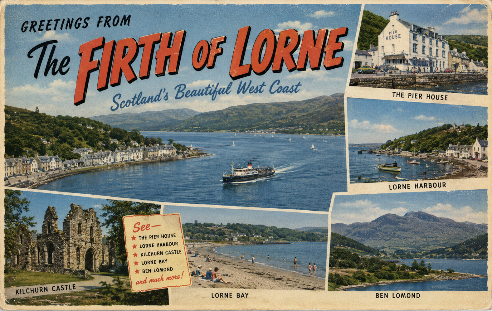
The Firth of Lorne is a complex coastal and island-dominated area on the west coast of Scotland, lying between the mainland and the Inner Hebrides. It is characterised by deep water, numerous islands, and highly varied navigational conditions influenced by tidal flows and Atlantic weather systems.
The region combines open water passages with more sheltered channels, creating a diverse and dynamic boating environment.
Local Operating Context (for Liveaboard Boaters)
Conditions in the Firth of Lorne vary considerably depending on location. Sheltered waters can be found between islands and along parts of the mainland coast, while more exposed areas are subject to Atlantic swell and strong winds.
Tidal streams can be significant, particularly in constricted channels and between islands, where overfalls and turbulent water may develop. Careful route planning and tidal awareness are essential.
The area is well suited to mobile liveaboard cruising, with numerous potential stopping points, though conditions may change quickly.
Access & Shelter
- Combination of sheltered channels and exposed open water
- Numerous islands provide intermittent protection depending on wind direction
- Strong tidal flows in narrows and between landmasses
- Approaches may involve complex navigation through island groups
Shore Interaction
- Predominantly rugged coastline with rocky shores and limited landing points in some areas
- Small settlements and natural anchorages are scattered throughout the region
- Access conditions vary widely depending on local geography
- Some locations allow relatively easy landing, others require careful timing and conditions
Risk Factors
- Strong tidal streams and localised overfalls
- Rapid weather changes influenced by Atlantic systems
- Navigational complexity due to islands and submerged hazards
- Exposure in open passages between sheltered zones
Overall Character
The Firth of Lorne offers a varied and often dramatic boating environment, combining sheltered cruising grounds with more demanding open-water passages. It is well suited to experienced boaters seeking flexibility and exploration within a highly scenic coastal setting.
Notable Locations
Oban – Regional harbour and marina centre serving as a key access point to the area.
Isle of Mull – Large nearby island offering multiple anchorages and coastal routes.
Lismore – Narrow island influencing local tidal flows and navigation.
Practical Mooring & Anchorage Locations
Oban Bay
- Type: Harbour / marina / anchorage
- Shelter: Good shelter within the bay from most wind directions
- Exposure: Strong southerly winds can create chop and uncomfortable conditions in outer anchorage areas
- Key Constraints: Heavy ferry traffic; busy mooring field during summer; tidal streams in approaches
- Traffic Level: Very High
- Liveaboard Suitability: High
- Notes: Principal harbour of the Firth of Lorne with extensive marina, visitor moorings, and provisioning facilities. Excellent staging point for the Inner Hebrides and west coast passages.
Kerrera Marina
- Type: Marina / moorings
- Shelter: Very good shelter from prevailing south-westerly winds
- Exposure: Some exposure to strong northerly gusts funneling through the Sound of Kerrera
- Key Constraints: Narrow approach channels; tidal flow through nearby sound
- Traffic Level: Medium
- Liveaboard Suitability: High
- Notes: Well-protected marina positioned opposite Oban. Popular with cruising yachts seeking quieter berthing while remaining close to mainland services.
Dunstaffnage Marina
- Type: Marina / harbour
- Shelter: Excellent shelter in most weather conditions
- Exposure: Minor swell exposure in strong north-westerly conditions outside the marina entrance
- Key Constraints: Busy summer visitor traffic; tidal streams nearby at Connel Bridge approaches
- Traffic Level: Medium
- Liveaboard Suitability: High
- Notes: Secure and well-equipped marina north of Oban with reliable all-tide access. Frequently used as a long-term base for west coast cruising.
Craobh Haven
- Type: Marina / sheltered basin
- Shelter: Excellent all-weather shelter within enclosed marina basin
- Exposure: Minimal direct exposure once inside marina
- Key Constraints: Limited visitor berth availability during peak season; approach requires care among nearby islands and reefs
- Traffic Level: Medium
- Liveaboard Suitability: High
- Notes: Purpose-built yachting marina offering one of the safest sheltered bases in the Firth of Lorne area. Strong support facilities and easy access to the Slate Islands.
Puilladobhrain
- Type: Natural anchorage / moorings
- Shelter: Very good shelter from Atlantic swell and prevailing south-westerlies
- Exposure: Can become gusty in strong easterly or north-easterly winds
- Key Constraints: Limited swinging room; crowded in summer; submerged rocks outside marked approach
- Traffic Level: Medium
- Liveaboard Suitability: Medium
- Notes: Well-known scenic anchorage near Seil Island with visitor moorings and secure holding. Popular overnight stop for cruising yachts transiting the area.
Tobermory Harbour
- Type: Harbour / moorings / anchorage
- Shelter: Good shelter within the bay from most wind directions
- Exposure: Strong northerly winds can produce uncomfortable conditions in outer mooring areas
- Key Constraints: Busy visitor moorings; ferry and fishing vessel movements; limited anchoring space
- Traffic Level: High
- Liveaboard Suitability: High
- Notes: Important stopping point on the Sound of Mull with extensive visitor facilities and reliable shelter. Frequently used as a provisioning and waiting harbour for west coast passages.
Operational Support Infrastructure (Public Services)
Healthcare Access
Regional healthcare services are available in key coastal towns, with more limited provision in remote island locations.
Emergency Services
Emergency response coverage includes coastguard and regional services, with response times varying by location.
Postal & Essentials
Basic services are available in main settlements, with reduced access in more remote areas.
Civic Services
Local authority coverage is provided by regional councils responsible for mainland and island communities.
Practical Notes for Boaters
This is a rewarding but sometimes demanding cruising area. Flexibility, tidal planning, and awareness of local conditions are essential. The variety of sheltered and exposed routes allows for adaptable passage planning in changing weather.
From the Project
This section will be developed over time based on field observations and ongoing coastal exploration activity.
Related Knowledge Base
Fjord-like estuarine systems
Commercial shipping lane management
Tidal flow in enclosed sea loughs
Marina infrastructure in sheltered waters
Coastal urban maritime interfaces
Status
This section forms part of a structured coastal operational index for liveaboard boating use and will be refined over time.