Outer Hebrides Coast
Overview
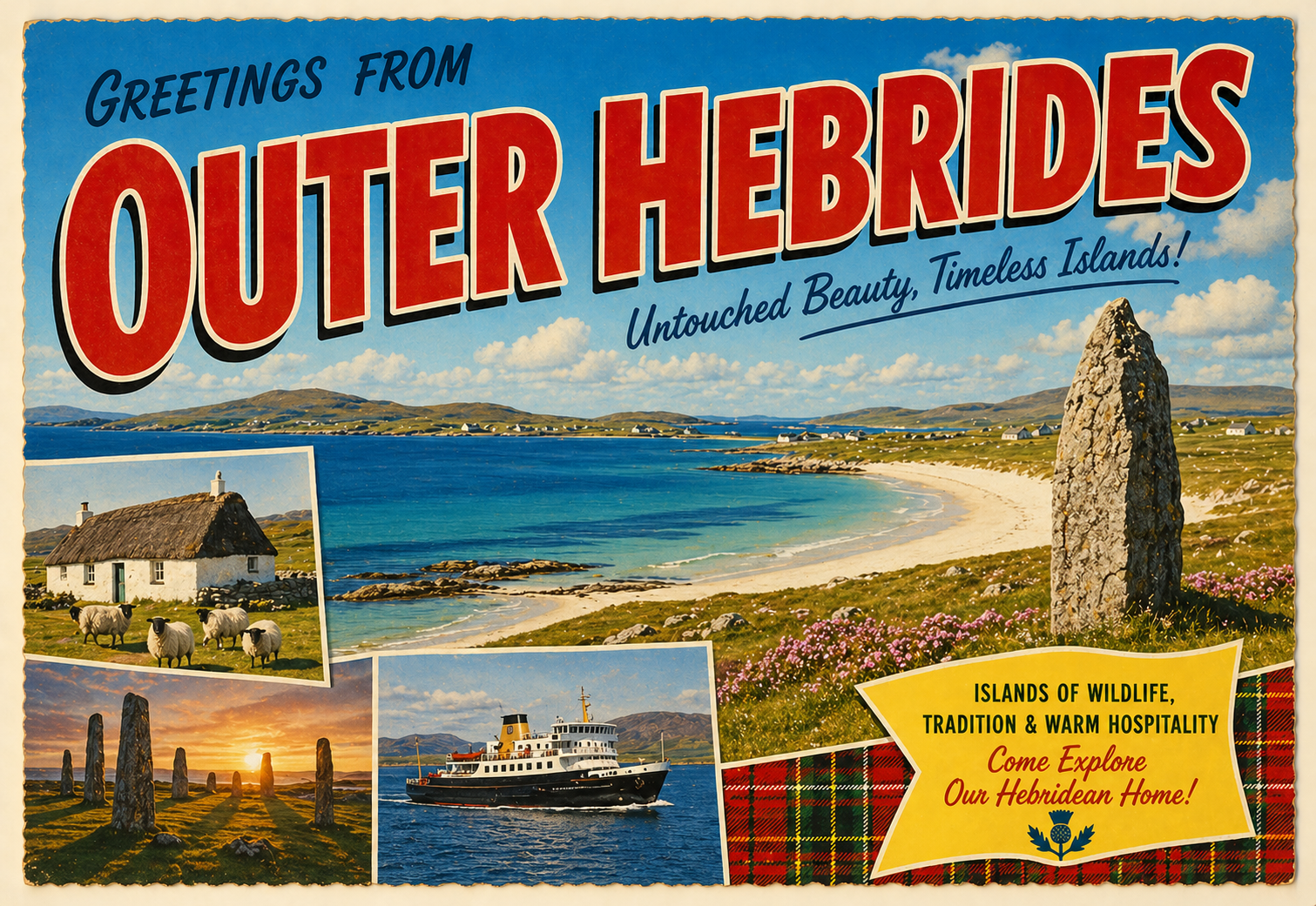
The Outer Hebrides form a long chain of islands off the west coast of Scotland, facing the North Atlantic. The coastline is generally open and influenced by prevailing westerly weather systems.
Settlements are widely spaced and the surrounding waters can feel remote, with conditions often changing over relatively short distances between exposed Atlantic shores and more sheltered sea lochs.
Local Operating Context (for Liveaboard Boaters)
Navigation in the Outer Hebrides is shaped by exposure to Atlantic swell and wind, with shelter often dependent on specific wind direction and local geography.
Sea passages between islands can involve tidal streams and narrow channels, requiring careful timing and attention to charted hazards.
Anchorages and sheltered areas exist in lochs and behind islands, though they may be limited in extent and can become uncomfortable in certain conditions.
Overall passage planning tends to be influenced by weather windows rather than fixed itineraries, particularly during unsettled periods.
Typical Conditions
- Frequent exposure to Atlantic swell and wind
- Rapidly changing weather patterns
- Strong tidal streams in channels and sounds
- Variable visibility, particularly in rain or sea mist
Access & Shelter
- Shelter often depends heavily on wind direction
- Sea lochs may provide partial protection in settled conditions
- Outer west-facing coasts can be fully exposed
- Safe approaches may require careful route planning
Shore Interaction
- Small, widely spaced settlements along the coastline
- Limited landing points in many areas
- Coastal terrain often low-lying or rocky
- Local activity typically centred around transport links and ferries
Risk Factors
- Exposure to Atlantic weather systems
- Rocky shorelines and offshore hazards
- Strong tidal flows in constrained waters
- Limited all-weather shelter in some regions
Overall Character
The Outer Hebrides have a remote and open maritime character, with long stretches of exposed coastline contrasted by quieter inshore waters. Conditions are often influenced by Atlantic weather and local topography.
Notable Locations
Stornoway (Lewis) – Harbour approach within a sheltered inlet, though surrounding waters may be exposed.
Lochmaddy (North Uist) – Coastal inlet offering partial shelter in otherwise open island waters.
Castlebay (Barra) – Harbour area set within an island bay, with exposure possible outside the immediate shelter.
The Minch – Broad channel between the Outer Hebrides and mainland Scotland, often affected by wind and tidal flow.
Practical Mooring & Anchorage Locations
Stornoway Harbour
- Type: Harbour / Marina
- Shelter: Good protection from westerly and southerly conditions within the inner harbour.
- Exposure: Approaches and outer harbour areas can become uncomfortable in strong northerly or easterly winds.
- Key Constraints: Commercial ferry traffic and harbour movements require attention. Some berths may have allocation or visitor limitations.
- Traffic Level: High
- Liveaboard Suitability: High
- Notes: One of the main service centres in the Outer Hebrides. Reliable access to fuel, supplies, and shore facilities.
Lochmaddy Harbour
- Type: Harbour / Anchorage
- Shelter: Generally sheltered from Atlantic swell and prevailing westerlies.
- Exposure: Strong easterly winds can create uncomfortable conditions in open sections of the loch.
- Key Constraints: Complex buoyed approach with rocks and shallow areas outside marked channels. Ferry movements present.
- Traffic Level: Medium
- Liveaboard Suitability: Medium
- Notes: Frequently used as a staging point between islands. Anchorage options vary with depth and tidal state.
Castlebay Harbour
- Type: Harbour / Mooring
- Shelter: Best shelter within the inner bay from westerly swell and offshore Atlantic conditions.
- Exposure: Easterly and southeasterly winds can make the harbour uncomfortable.
- Key Constraints: Limited space around ferry operations and local moorings. Strong winds funnel through surrounding hills at times.
- Traffic Level: Medium
- Liveaboard Suitability: Medium
- Notes: Main harbour facility for Barra with regular local use. Conditions outside the protected bay deteriorate quickly in unsettled weather.
Lochboisdale
- Type: Marina / Harbour
- Shelter: Well sheltered from most Atlantic conditions within the enclosed harbour area.
- Exposure: Some exposure to strong easterly winds in outer sections.
- Key Constraints: Ferry traffic and marina berth availability may affect manoeuvring space.
- Traffic Level: Medium
- Liveaboard Suitability: High
- Notes: Modern marina facilities with shore access and services. Commonly used as a weather waiting location.
East Loch Tarbert
- Type: Loch Anchorage / Harbour
- Shelter: Good shelter from westerly and northwesterly conditions within the inner loch.
- Exposure: Strong easterly winds can affect exposed anchoring areas near the entrance.
- Key Constraints: Narrow approach sections and ferry traffic require care. Tidal flows may be noticeable in constricted parts.
- Traffic Level: Medium
- Liveaboard Suitability: Medium
- Notes: Useful sheltered stop on Harris with access to village facilities. Anchorage quality varies within the loch.
Rodel Harbour
- Type: Harbour / Anchorage
- Shelter: Reasonable shelter from northerly and westerly winds within the harbour area.
- Exposure: More exposed during strong southerly and southeasterly conditions.
- Key Constraints: Limited harbour space and variable depths around moorings. Less suitable in prolonged unsettled weather.
- Traffic Level: Low
- Liveaboard Suitability: Low
- Notes: Small traditional harbour used by local and visiting vessels. Better suited for short stays than extended occupation.
Operational Support Infrastructure (Public Services)
Healthcare
Basic healthcare services are present in some main settlements, though more comprehensive facilities are located on the mainland. Access may require onward travel depending on circumstances.
Emergency Services
Emergency response is coordinated through mainland and island-based services, with maritime assistance influenced by weather and distance from support centres.
Postal Services
Postal provision exists in settled areas, though delivery schedules and access can be affected by transport links and weather conditions.
Civic Services
Civic administration is managed through local island authorities, with services distributed across the main inhabited islands.
Visitor Information
Information services are typically located in principal settlements, offering general guidance on transport, weather, and local access considerations.
Practical Notes for Boaters
This section will be developed over time based on direct experience and relevant contributions. The focus is on practical usefulness rather than completeness.
From the Project
Observations and notes from the ongoing boat conversion and coastal exploration project will be added here as they become available.
Related Knowledge Base
- Coastal erosion processes
- Sedimentary rock formations
- Harbour types and access
- Tidal patterns and coastal conditions
Status
This is part of a growing coastal index. Content will be expanded over time as the project develops.