




Gaelic Fishing Traditions & Island Crofting Harbours
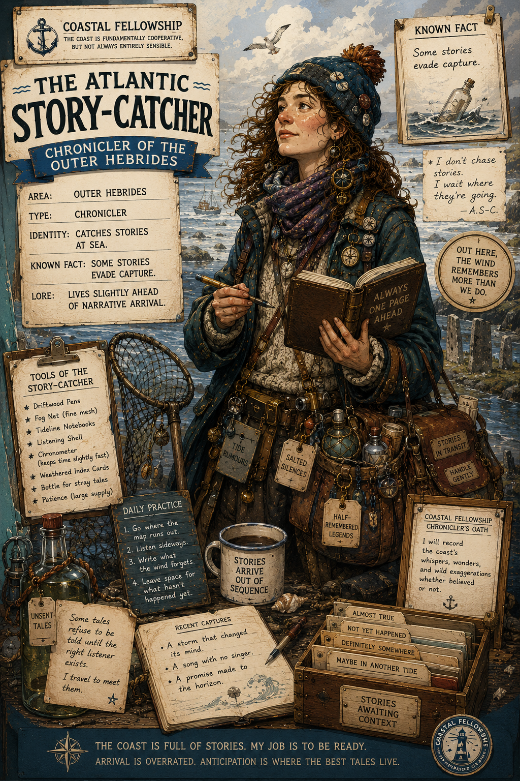
The maritime culture of the Outer Hebrides is closely associated with Gaelic-speaking island communities, small-scale fishing and the working relationship between croft and harbour. The island chain faces the Atlantic on its western side and the Minch and Little Minch to the east, with numerous sounds, bays and tidal passages affecting local movement by boat. Settlement and coastal work have historically been organised around accessible landing places rather than large commercial ports, and this pattern remains evident at many small harbours and piers.
Fishing was a principal coastal occupation, alongside crofting and the seasonal use of shore resources. Local boats served for line fishing, netting and the carriage of people and goods between islands and mainland markets. The precise methods and boat types varied between islands and periods, so practices should not be treated as uniform across the chain. Stornoway developed as the principal harbour and commercial centre, while smaller fishing communities used places such as Barra, Eriskay, Lochboisdale, Castlebay, Lochmaddy, Tarbert and Leverburgh according to local conditions and changing transport arrangements.
The sea also formed part of the ordinary infrastructure of island life. Ferries, mail services and small cargo movements connected communities separated by sounds and exposed channels, with tidal streams and weather often determining when passages could safely be made. Fishing harbours commonly combined several functions: boats were landed, gear maintained, catches handled and provisions moved between shore and vessel. In crofting districts, the harbour was therefore not necessarily a separate maritime quarter but part of the working landscape.
Gaelic remains an important marker of continuity in maritime communities, although its use and prevalence differ between islands and settlements. Traditional knowledge of local waters was transmitted through working experience, including familiarity with fishing grounds, anchorages, reefs, tidal races and changes in weather. Such knowledge was practical rather than formalised, and much of it survives through present-day fishing, creel work, recreational boating and inter-island travel. Place-names of Gaelic origin also preserve evidence of the close relationship between settlement and the sea.
Boatbuilding and boat use have changed considerably with the introduction of modern materials, engines and harbour facilities. Nevertheless, small working craft, creel boats and other local fishing vessels continue to operate from Hebridean harbours. Fishing remains significant in several communities, with shellfish, particularly lobster and crab, forming an important part of the modern inshore sector. The scale and economic importance of these activities differ between islands and should not be assumed to represent the whole region.
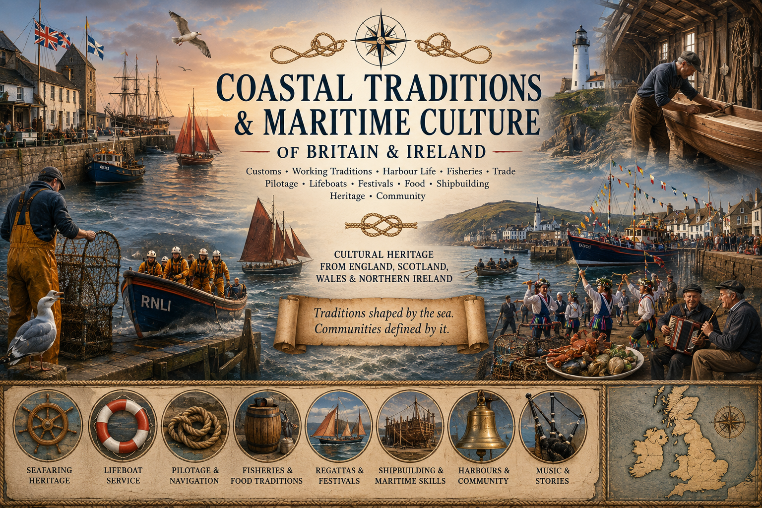
Community gatherings connected with boats and the sea also form part of modern island life. Regattas and rowing or sailing events occur in some communities, while harbour days and local maritime gatherings can retain a practical rather than purely ceremonial character. Lifeboat and rescue services are another continuing element of coastal life, reflecting the hazards of exposed waters, strong tides and rapidly changing Atlantic weather. Their presence is particularly relevant where fishing and ferry traffic continue throughout the year.
For the cruising mariner, the maritime culture of the Outer Hebrides is consequently best understood through its working geography. Crofting settlements, fishing harbours, ferry routes and small landing places remain linked to the surrounding waters, while Gaelic terminology and local knowledge continue to influence the cultural character of coastal communities. Modern vessels and infrastructure have altered the means of working at sea, but the close dependence of island settlements on navigable waters remains a defining feature of the present coastline.

Comments