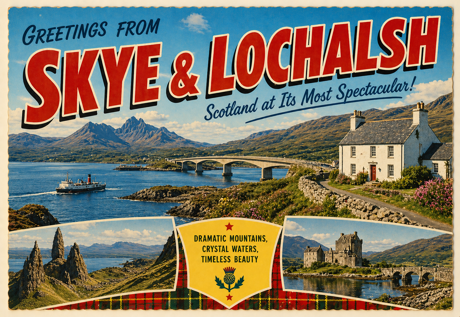
Skye & Lochalsh Coasts
Overview
The Skye and Lochalsh coast on Scotland’s north-west seaboard is characterised by a complex mix of sea lochs, narrow channels, and open Atlantic-facing waters. Conditions vary considerably over short distances, with sheltered inlets often close to more exposed passages.
The coastline is influenced by tidal movement through constricted channels and around headlands, and weather systems arriving from the Atlantic can affect conditions with limited local warning time.
Local Operating Context (for Liveaboard Boaters)
This area requires careful passage planning due to variable winds, strong tidal streams in places, and rapidly changing sea states. Shelter is available within sea lochs, though exposure can increase quickly when exiting into broader channels.
Navigational awareness is important in areas with ferries, narrow sounds, and rocky shorelines. Some anchorages may be viable in settled conditions, but may become uncomfortable or unsafe when winds oppose tide or funnel through constrictions.
Distances between potential refuge points can be significant, and alternative options are often dependent on local geography rather than infrastructure.
Conditions can differ markedly between inner sea lochs and outer coastal waters, requiring flexibility in planning and timing.
Typical Conditions
- Variable wind exposure, often funnelled through channels
- Moderate to strong tidal streams in narrows
- Frequent change in sea state over short distances
- Atlantic swell affecting outer coastal areas
Access & Shelter
- Sea lochs may offer temporary shelter depending on wind direction
- Some narrow channels can provide calm water but strong currents
- Outer coasts can be exposed with limited refuge options
- Conditions often depend heavily on timing and tide
Shore Interaction
- Shore access varies from rocky to steep or uneven terrain
- Landing opportunities may be limited in exposed areas
- Some sheltered inlets allow occasional calm shore contact
- Care is needed due to tidal range and slippery surfaces
Risk Factors
- Strong tidal streams in confined passages
- Rapidly changing wind and sea conditions
- Rocky and irregular underwater topography
- Limited safe options in more exposed stretches
Overall Character
The area is generally remote and varied, with a mixture of sheltered inland waters and exposed Atlantic-facing coastline. It tends to reward cautious and flexible navigation, with conditions that can shift noticeably over short distances.
Notable Locations
Portree Bay – a broad inlet on Skye with variable shelter depending on wind direction and swell.
Kyle of Lochalsh – a narrow strait with strong tidal influence and busy navigational traffic.
Sound of Sleat – a long sea channel that can be exposed to wind acceleration and tidal flow.
Loch Duich – a sea loch offering more enclosed waters, though conditions vary with weather.
Practical Mooring & Anchorage Locations
Portree Harbour
- Type: Harbour / Anchorage
- Shelter: Protected from E through S winds
- Exposure: N and NW winds can send swell into the outer harbour
- Key Constraints: Limited berthing space, tidal range considerations, ferry and fishing traffic
- Traffic Level: High
- Liveaboard Suitability: Medium
- Notes: Central hub on Skye with marina facilities and services. Can become uncomfortable in strong northerly swell conditions.
Uig Harbour
- Type: Harbour
- Shelter: Generally sheltered from S through W winds
- Exposure: N and NE winds can generate swell and surge
- Key Constraints: Regular ferry operations, wash from vessels, limited visitor space at peak times
- Traffic Level: High
- Liveaboard Suitability: Medium
- Notes: Primary ferry terminal to the Outer Hebrides. Shelter is good in settled conditions but can be affected by ferry movement and swell entry.
Kyle of Lochalsh Marina
- Type: Marina / Pontoon Mooring
- Shelter: Well sheltered from most directions due to inner channel location
- Exposure: Strong tidal flow and wind funneling through the narrows
- Key Constraints: Significant tidal streams in adjacent waters, busy navigation zone with ferries and local traffic
- Traffic Level: High
- Liveaboard Suitability: High
- Notes: One of the more practical year-round stopping points in the area with shore access and services. Currents require careful manoeuvring on approach.
Kyleakin Harbour
- Type: Harbour
- Shelter: Sheltered from most directions except strong easterly winds
- Exposure: Wind acceleration through the Sound of Sleat in certain conditions
- Key Constraints: Tidal streams in nearby channels, ferry wake, limited berthing during peak periods
- Traffic Level: Medium
- Liveaboard Suitability: Medium
- Notes: Small working harbour with reasonable protection and convenient access to Skye Bridge area. Can be affected by passing traffic wash.
Armadale Harbour
- Type: Harbour
- Shelter: Good shelter from westerly winds
- Exposure: Easterly winds can create uncomfortable conditions and swell entry
- Key Constraints: Ferry operations to Mallaig, wake disturbance, limited long-stay space
- Traffic Level: High
- Liveaboard Suitability: Medium
- Notes: Ferry port on the Sleat peninsula with basic facilities. Best used in moderate conditions due to exposure to east winds.
Loch Duich
- Type: Sea Loch / Anchorage
- Shelter: Generally well sheltered from most wind directions depending on position within the loch
- Exposure: Outer loch can be affected by SW winds funnelling in
- Key Constraints: Depth variation, limited formal mooring infrastructure, strong localised winds in narrow sections
- Traffic Level: Low
- Liveaboard Suitability: High
- Notes: Broad sea loch offering multiple anchoring options with scenic surroundings. Inner areas provide the most consistent shelter for extended stays.
Operational Support Infrastructure (Public Services)
Healthcare
Healthcare provision is concentrated in larger settlements on Skye and the mainland, with smaller communities relying on regional services. Access may involve significant travel time depending on location.
Emergency Services
Emergency response is coordinated from regional centres, with maritime assistance available through national services. Response times can vary due to geography and weather.
Postal Services
Postal coverage is available in main settlements, though smaller or remote areas may experience reduced frequency of service.
Civic Services
Civic administration is managed through local authority structures covering Skye and Lochalsh, with services distributed across mainland-linked hubs.
Visitor Information
Visitor information is generally available in principal towns, with additional guidance sometimes provided seasonally in busier coastal locations.
Practical Notes for Boaters
This section will be developed over time based on direct experience and relevant contributions. The focus is on practical usefulness rather than completeness.
From the Project
Observations and notes from the ongoing boat conversion and coastal exploration project will be added here as they become available.
Related Knowledge Base
- Coastal erosion processes
- Sedimentary rock formations
- Harbour types and access
- Tidal patterns and coastal conditions
Status
This is part of a growing coastal index. Content will be expanded over time as the project develops.