


Wester Ross Coast
Overview
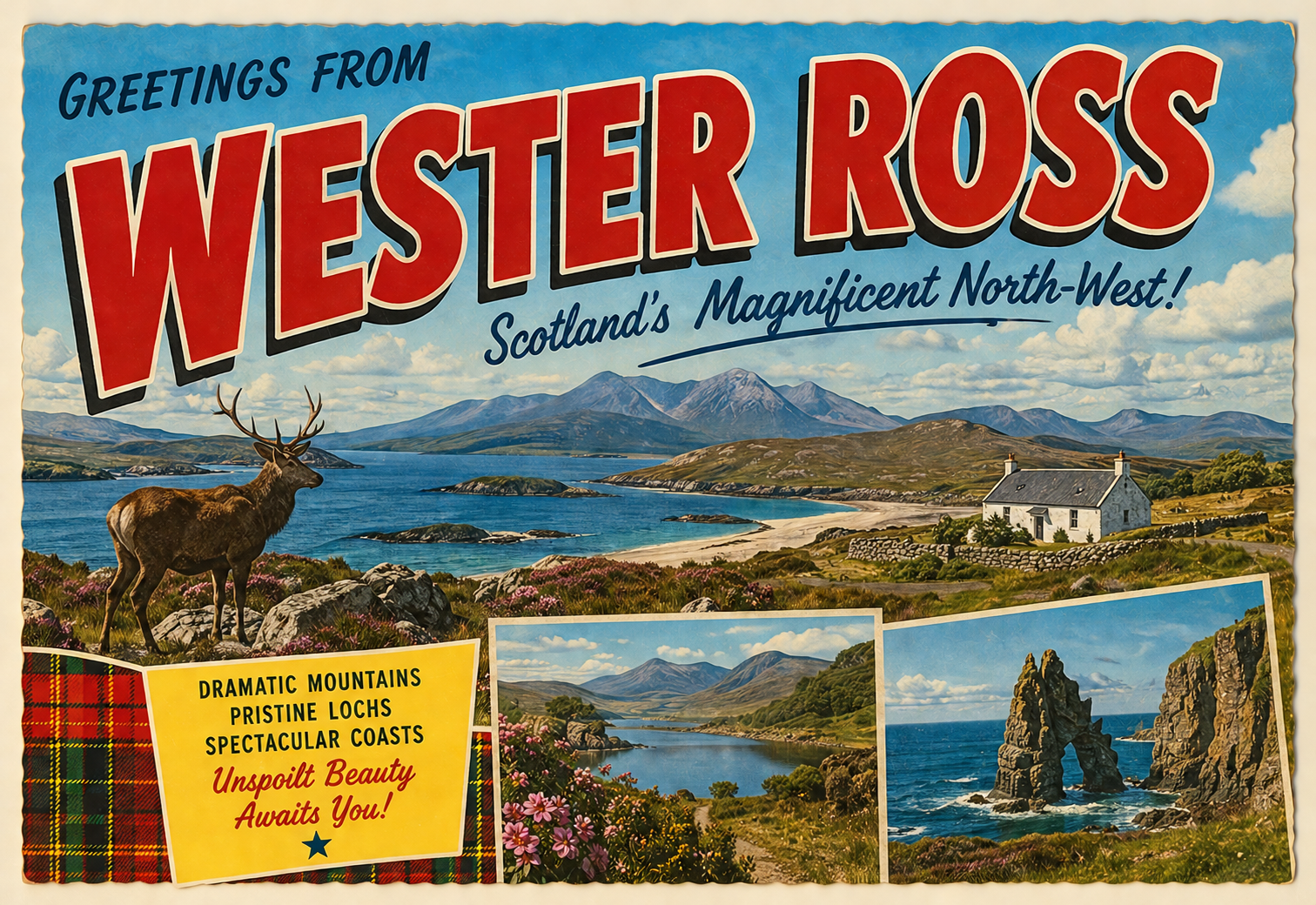
The Wester Ross coast forms part of the remote north-western seaboard of mainland Scotland, characterised by a deeply indented shoreline, scattered islands, and open Atlantic exposure. The landscape is marked by steep terrain, sparse settlement, and a generally undeveloped coastal edge.
This area is typically quiet in terms of marine traffic, with long stretches of coastline offering limited infrastructure. Conditions and accessibility can vary considerably depending on weather patterns, particularly in more exposed sections.
Local Operating Context (for Liveaboard Boaters)
Liveaboard boating along the Wester Ross coast requires a degree of self-sufficiency due to the limited presence of formal marine facilities. Opportunities for resupply or shore access may be infrequent and often depend on proximity to small settlements.
Navigation is influenced by a combination of coastal topography, tidal streams, and Atlantic swell. Many anchorages are open to certain wind directions, requiring careful selection based on prevailing conditions.
Weather patterns can change rapidly, with low-pressure systems moving in from the Atlantic. Forecast monitoring is important, particularly when operating in more exposed waters or when planning passages between anchorages.
Shore interaction is generally minimal, with much of the coastline consisting of rugged or inaccessible terrain. Landing points may be limited and conditions-dependent, especially in areas without natural harbours.
Typical Conditions
- Frequent Atlantic swell, especially along west-facing stretches
- Variable wind conditions, often strengthening quickly
- Cool temperatures with regular precipitation
- Periods of reduced visibility due to mist or low cloud
Access & Shelter
- Natural anchorages present but often exposed to certain wind directions
- Sea lochs may provide more sheltered conditions inland
- Limited all-weather refuge points along open coastlines
- Entry to some inlets may require attention to tidal flow and underwater features
Shore Interaction
- Sparse settlements with limited access points
- Landing often dependent on weather and shoreline gradient
- Predominantly natural coastline with minimal infrastructure
- Opportunities for access may be more feasible within sea lochs
Risk Factors
- Exposure to Atlantic weather systems and swell
- Rapidly changing sea and wind conditions
- Limited availability of immediate assistance in remote areas
- Navigational hazards including submerged rocks and narrow inlets
Overall Character
The Wester Ross coast presents a remote and rugged cruising environment, suited to cautious and well-prepared liveaboard boaters. Its character is defined by exposure, low development, and a reliance on careful passage planning.
Notable Locations
-
Loch Torridon – a sea loch offering more sheltered waters further inland, though entrance conditions can vary.
-
Gruinard Bay – a broad bay that may provide temporary anchorage in settled weather but can be exposed.
-
Little Loch Broom – a narrower inlet with potential shelter depending on wind direction and positioning.
-
Rubha Reidh – a prominent headland where conditions can be notably affected by Atlantic swell and tides.
Practical Mooring & Anchorage Locations
Loch Torridon
- Type: Sea Loch / Anchorage / Small Harbour Moorings
- Shelter: Good protection from west through south-west winds in inner loch
- Exposure: Outer approaches and north-easterly winds can create uncomfortable conditions in exposed sections
- Key Constraints: Deep water throughout; localised gusts funnel through surrounding mountains; careful anchoring required in narrowing sections
- Traffic Level: Low
- Liveaboard Suitability: Medium
- Notes: Shieldaig offers mooring opportunities and basic shore access. Upper loch provides some of the most sheltered water on this coast.
Loch Broom (Ullapool)
- Type: Sea Loch / Harbour / Marina
- Shelter: Well sheltered from most directions within inner loch, particularly south and west winds
- Exposure: Outer loch can be affected by strong northerly or easterly winds
- Key Constraints: Commercial ferry traffic to Stornoway; need to avoid ferry lanes and turning areas
- Traffic Level: High
- Liveaboard Suitability: High
- Notes: Ullapool provides the most developed marine facilities in the wider area. Good access to supplies and services but busier than surrounding waters.
Loch Ewe
- Type: Sea Loch / Anchorage / Moorings
- Shelter: Generally well protected from Atlantic swell; good shelter from south-west through north-west winds depending on position
- Exposure: Northerly winds can create chop in outer areas of the loch
- Key Constraints: Military and historical navigation considerations in parts of the loch; depth varies but generally accommodating
- Traffic Level: Low
- Liveaboard Suitability: High
- Notes: Aultbea and surrounding areas offer anchorage and limited mooring opportunities. Widely regarded as a secure storm refuge on the north-west coast.
Little Loch Broom
- Type: Sea Loch / Anchorage
- Shelter: Good shelter from south-west and west winds in inner sections
- Exposure: Outer loch exposed to northerly winds and Atlantic swell penetration in strong conditions
- Key Constraints: Narrow channels in places; attention needed to depth changes and local wind acceleration effects
- Traffic Level: Low
- Liveaboard Suitability: Medium
- Notes: Dundonnell Bay offers anchorage in settled conditions. Remote surroundings with minimal shore infrastructure.
Badachro (Loch Gairloch)
- Type: Harbour / Anchorage / Moorings
- Shelter: Good shelter from west and south-west winds within inner anchorage
- Exposure: Outer approaches can be uncomfortable in strong north-westerly swell
- Key Constraints: Small tidal harbour area; limited space for larger vessels; approach requires care in low visibility
- Traffic Level: Low
- Liveaboard Suitability: Medium
- Notes: Small local moorings and anchoring options available in settled conditions. Offers one of the more practical stopping points along this stretch.
Loch Kishorn
- Type: Sea Loch / Anchorage / Industrial Harbour
- Shelter: Generally well sheltered from most directions within inner loch
- Exposure: Outer approaches can be affected by westerly swell and strong tidal flows in the wider area
- Key Constraints: Industrial activity at Kishorn Yard; limited dedicated leisure facilities; berth availability may be variable
- Traffic Level: Low
- Liveaboard Suitability: Medium
- Notes: Deep water and enclosed geography provide good natural shelter. Use depends on industrial operations and local access conditions.
Operational Support Infrastructure (Public Services)
Healthcare
Healthcare access in the region is limited to small local facilities in scattered settlements, with more comprehensive services located at greater distances inland.
Emergency Services
Emergency response coverage exists but may involve extended response times due to the remoteness and dispersed geography of the coastline.
Postal Services
Postal services are available in small communities but may operate on reduced schedules, particularly in more isolated areas.
Civic Services
Basic civic services are present within local settlements, though availability and frequency can be limited and vary by location.
Visitor Information
Visitor information is typically provided in small community centres or regional hubs, with limited presence directly along the more remote stretches of coast.
Practical Notes for Boaters
This section will be developed over time based on direct experience and relevant contributions. The focus is on practical usefulness rather than completeness.
From the Project
Observations and notes from the ongoing boat conversion and coastal exploration project will be added here as they become available.
Related Knowledge Base
- Coastal erosion processes
- Sedimentary rock formations
- Harbour types and access
- Tidal patterns and coastal conditions
Status
This is part of a growing coastal index. Content will be expanded over time as the project develops.
