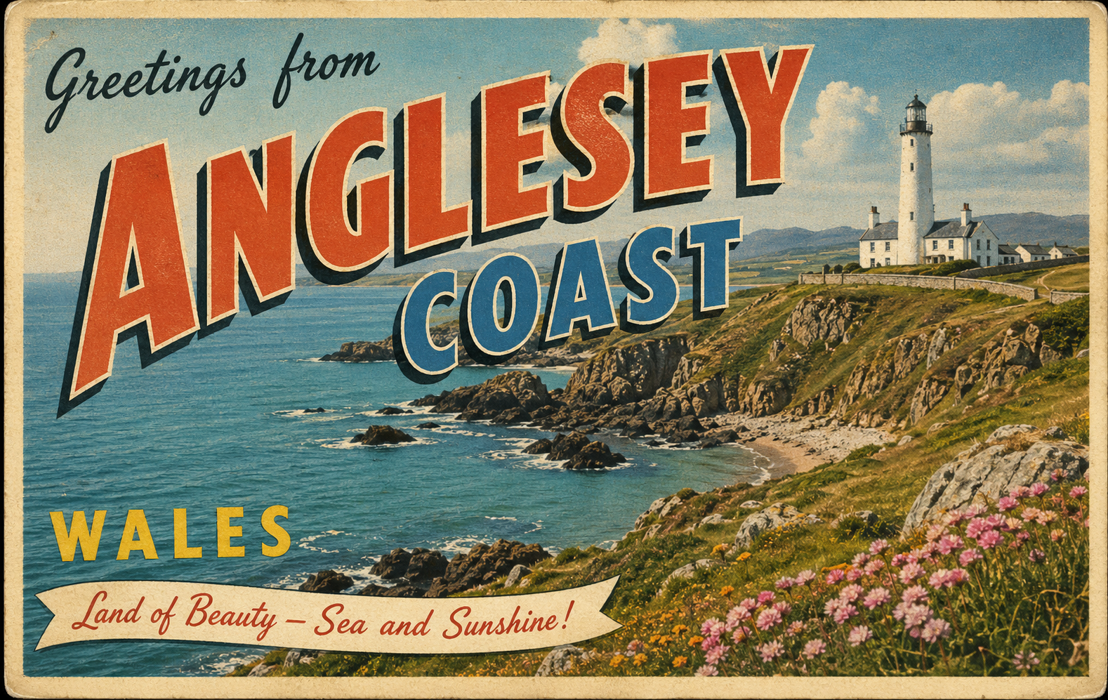
Anglesey
Overview
Anglesey is a large island off the north-west coast of Wales, separated from the mainland by the Menai Strait. Its coastline is varied, with a mix of exposed headlands, sandy bays, and rocky inlets. The surrounding waters form part of the Irish Sea, and conditions can change quickly depending on weather systems and tidal movement. The area is widely used by recreational craft, though it requires careful attention to local conditions.
Local Operating Context (for Liveaboard Boaters)
Typical Conditions
- Prevailing winds are often from the south-west, with stronger conditions possible during Atlantic weather systems.
- Sea states can become uneven, particularly where tidal streams oppose wind direction.
- Tidal ranges are moderate to large, with strong streams in constricted areas such as the Menai Strait.
- Weather conditions may change rapidly, especially around headlands and open western shores.
Access & Shelter
- Some natural bays provide temporary shelter, though exposure varies significantly with wind direction.
- The east coast tends to be more sheltered than the west, which faces the open Irish Sea.
- Access to certain inlets and channels may be tide-dependent, requiring careful timing.
- Shelter can be limited in strong winds, particularly along the more exposed northern and western coasts.
Shore Interaction
- Landing points are available in various small harbours and beaches, though conditions may restrict access at times.
- Settlements are generally small and dispersed, with limited direct shoreline infrastructure.
- Tidal variation can affect access to the shore, especially in shallow or gently sloping areas.
- Some areas may be influenced by conservation designations, requiring awareness of local restrictions.
Risk Factors
- Strong tidal streams, particularly in narrow channels, can present navigational challenges.
- Overfalls and disturbed water may occur off prominent headlands.
- Submerged rocks and uneven seabeds are present in several areas around the island.
- Exposure to open sea conditions increases risk during unsettled weather.
Overall Character
Anglesey presents a varied and sometimes demanding coastal environment, combining sheltered internal waters with more exposed outer shores. It can offer a range of cruising possibilities, though conditions often depend heavily on tide, weather, and local geography. A cautious and flexible approach is generally required when operating in this area.
Notable Locations
Menai Strait – A narrow tidal channel separating Anglesey from the mainland, known for strong currents and complex navigation.
Holyhead – A prominent harbour area on the north-west coast, offering relatively sheltered waters compared to surrounding shores.
Red Wharf Bay – A broad, shallow bay on the east coast that may provide more settled conditions in certain wind directions.
Cemlyn Bay – A small bay on the north coast with limited shelter, often influenced by prevailing winds and local sea state.
Practical Mooring & Anchorage Locations
Menai Strait
- Type: Estuary / River Mooring
- Shelter: Sheltered from west and east winds depending on position within the strait
- Exposure: Vulnerable to strong tidal streams and wind against tide conditions
- Key Constraints: Strong tidal currents, narrow navigable channels, bridge clearances, and local navigation regulations
- Traffic Level: High
- Liveaboard Suitability: High
- Notes: Well-established cruising area with multiple mooring opportunities and marinas. Requires careful tidal planning due to fast-moving water.
Holyhead Harbour
- Type: Harbour / Marina
- Shelter: Good shelter from most wind directions due to breakwaters
- Exposure: Can experience swell entry in strong north-westerly conditions
- Key Constraints: Commercial ferry traffic, port operations, and designated berth areas
- Traffic Level: High
- Liveaboard Suitability: High
- Notes: One of the principal safe harbours in the region with established marina facilities. Busy port environment with strong commercial activity.
Beaumaris Harbour
- Type: Harbour / Mooring
- Shelter: Sheltered from south and west winds within the Menai Strait
- Exposure: Uncomfortable in strong northerly winds and spring tide flows
- Key Constraints: Shallow approaches at low water and strong tidal currents in the vicinity
- Traffic Level: Medium
- Liveaboard Suitability: Medium
- Notes: Popular stopping point for cruising vessels within the strait. Access is tidal and requires attention to depth.
Amlwch Port
- Type: Harbour
- Shelter: Reasonable shelter from south and west winds
- Exposure: Exposed to northerly and easterly swell in poor weather
- Key Constraints: Limited modern facilities and potential swell entry during certain conditions
- Traffic Level: Low
- Liveaboard Suitability: Medium
- Notes: Historic port with occasional visiting craft use. Generally quiet but conditions can become uncomfortable in unsettled weather.
Red Wharf Bay
- Type: Anchorage
- Shelter: Sheltered from south and south-west winds
- Exposure: Open to north and north-east winds with significant swell risk
- Key Constraints: Shallow gradients and large tidal range affecting usable anchoring areas
- Traffic Level: Low
- Liveaboard Suitability: Low
- Notes: Wide shallow bay offering temporary anchorage in settled conditions. Not suitable for prolonged stays in changing weather.
Cemaes Harbour
- Type: Harbour / Anchorage
- Shelter: Partial shelter from south-westerly winds within the harbour
- Exposure: Exposed to northerly and easterly swell
- Key Constraints: Limited depth at low water and exposure to surge in strong sea states
- Traffic Level: Low
- Liveaboard Suitability: Low
- Notes: Small working harbour used by local craft and occasional visitors. Conditions are highly weather-dependent and can become uncomfortable quickly.
Practical Notes for Boaters
This section will be developed over time based on direct experience and relevant contributions. The focus is on practical usefulness rather than completeness.
From the Project
Observations and notes from the ongoing boat conversion and coastal exploration project will be added here as they become available.
Related Knowledge Base
- Coastal erosion processes
- Sedimentary rock formations
- Harbour types and access
- Tidal patterns and coastal conditions
Status
This is part of a growing coastal index. Content will be expanded over time as the project develops.