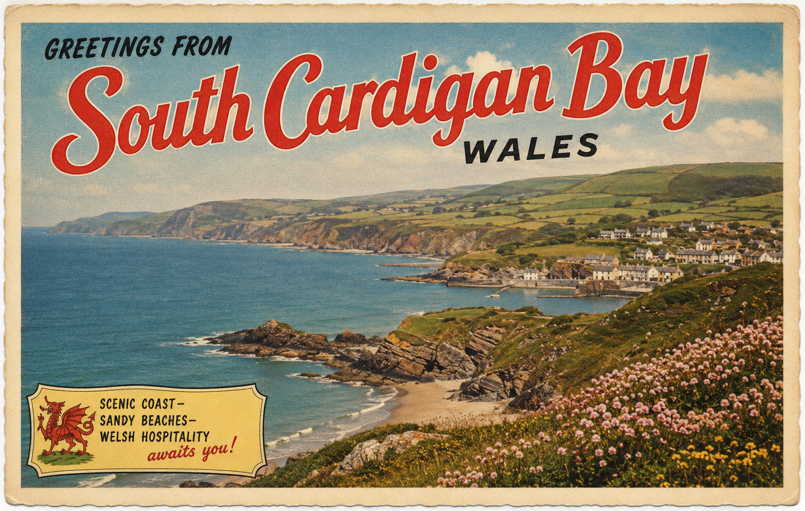
South Cardigan Bay
Overview
South Cardigan Bay on the west coast of Wales is a broad coastal area shaped by open Atlantic swell and a series of shallow bays, estuaries, and low-lying headlands. The shoreline is largely rural, with small settlements and intermittent natural inlets. Conditions can vary considerably with wind direction and tide.
Local Operating Context (for Liveaboard Boaters)
Typical Conditions
- Can be exposed to westerly and south-westerly winds
- Swell may wrap into bays during unsettled weather
- Tidal streams are generally moderate but can be locally complex near estuaries
- Sea state can change quickly with Atlantic weather systems
Access & Shelter
- Shelter is often limited outside of well-defined bays or estuaries
- Some anchorage options may be available in settled conditions
- Shallow coastal gradients can restrict access close inshore
- Estuary approaches may be influenced by shifting sandbanks
Shore Interaction
- Shore access is generally via small towns, beaches, or river mouths
- Facilities may be limited in more remote stretches of coastline
- Landing opportunities can depend heavily on swell and tide state
- Some areas are backed by agricultural or undeveloped land
Risk Factors
- Exposure to Atlantic swell and wind-driven chop
- Unreliable holding in some sandy or mixed seabeds
- Rapidly changing conditions in unsettled weather patterns
- Navigation complexity near estuary entrances and headlands
Overall Character
This stretch of coastline has a relatively natural and unindustrialised character, with conditions that often require careful planning and attention to weather and tide. It is generally more suitable for experienced coastal operators familiar with variable Atlantic-influenced waters.
Notable Locations
Cardigan (River Teifi estuary) – Estuarine approaches influenced by shifting sands and tidal flow.
St Dogmaels – Located near the upper reaches of the Teifi estuary with tidal considerations.
Aberporth – Small coastal settlement with adjacent bays that may offer partial shelter in suitable conditions.
New Quay – Harbour area within a small natural bay, often influenced by swell and wind direction.
Practical Mooring & Anchorage Locations
Cardigan (River Teifi Estuary)
- Type: Estuary / River Mooring
- Shelter: Good shelter from most wind directions once inside the river
- Exposure: Entrance exposed to westerly swell and breaking seas in onshore winds
- Key Constraints: Shifting sandbanks at the bar; tide-dependent access; strong tidal flows
- Traffic Level: Low
- Liveaboard Suitability: Medium
- Notes: Best entered with local knowledge or favourable conditions. Moorings further upriver offer increased security.
St Dogmaels
- Type: River Mooring
- Shelter: Well sheltered from all directions due to inland river position
- Exposure: Minimal wind exposure; conditions driven mainly by river flow
- Key Constraints: Strong tidal streams; limited depth at low water; access restricted by estuary bar
- Traffic Level: Low
- Liveaboard Suitability: Medium
- Notes: Quiet and sheltered but isolated. Access windows governed by tide and bar conditions.
New Quay Harbour
- Type: Harbour
- Shelter: Partial shelter from easterly winds within the bay
- Exposure: Open to southerly and westerly winds; swell can enter harbour
- Key Constraints: Limited space; tidal considerations; harbour dries in places
- Traffic Level: Medium
- Liveaboard Suitability: Low
- Notes: Suitable for short stays in settled weather. Not reliable in prolonged onshore conditions.
New Quay Bay Anchorage
- Type: Anchorage
- Shelter: Some shelter in offshore easterly winds
- Exposure: Exposed to Atlantic swell and any westerly or southerly winds
- Key Constraints: Variable holding; swell build-up; limited protection
- Traffic Level: Low
- Liveaboard Suitability: Low
- Notes: Usable in calm, settled periods only. Conditions can deteriorate quickly.
Aberporth Bay
- Type: Anchorage
- Shelter: Partial shelter from northerly and easterly winds
- Exposure: Open to southerly and westerly swell and winds
- Key Constraints: Limited depth; swell reflection; no formal facilities
- Traffic Level: Low
- Liveaboard Suitability: Low
- Notes: Short-term anchorage in stable weather. Not suitable for extended stays.
Aberaeron Harbour
- Type: Harbour / Marina
- Shelter: Good shelter within inner harbour from most directions
- Exposure: Entrance exposed to westerly swell; surge possible in strong onshore winds
- Key Constraints: Narrow entrance; tidal access window; harbour dries
- Traffic Level: Medium
- Liveaboard Suitability: Medium
- Notes: More structured than nearby options but tide-limited. Entry requires timing and care.
Practical Notes for Boaters
This section will be developed over time based on direct experience and relevant contributions. The focus is on practical usefulness rather than completeness.
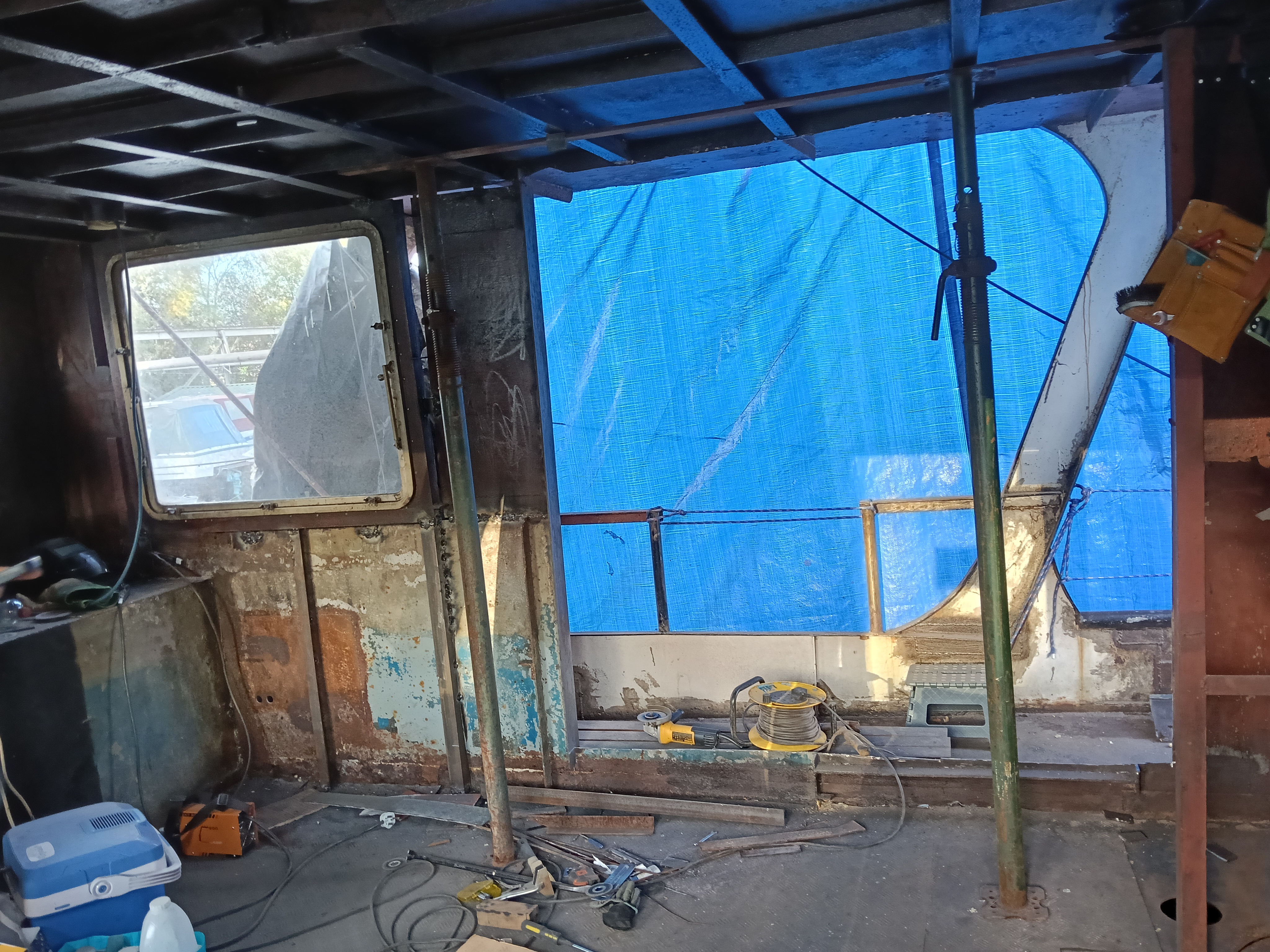
From the Project
Observations and notes from the ongoing boat conversion and coastal exploration project will be added here as they become available.
Related Knowledge Base
- Coastal erosion processes
- Sedimentary rock formations
- Harbour types and access
- Tidal patterns and coastal conditions
Status
This is part of a growing coastal index. Content will be expanded over time as the project develops.