





East Sussex Coast
Overview
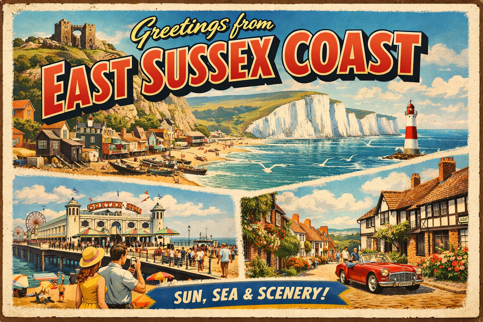
The East Sussex coast forms part of the English Channel shoreline, characterised by a mix of chalk cliffs, shingle beaches, and developed coastal towns. The coastline is relatively linear, with limited natural inlets and few deeply sheltered areas.
Much of the shore is exposed to prevailing south-westerly winds and open sea conditions. Coastal features tend to be visually prominent but do not always provide functional shelter for vessels operating offshore or close inshore.
Local Operating Context (for Liveaboard Boaters)
Boating activity along this stretch often requires careful planning around tidal flows and weather windows. The absence of extensive natural harbours means that opportunities for refuge can be limited and situational.
Tidal streams in the English Channel can be moderate to strong, particularly around headlands. Timing passages to align with favourable tides may be important for efficiency and safety.
Anchoring options are generally restricted due to seabed composition and exposure. Shingle and chalk substrates may offer variable holding depending on location and conditions.
Urban frontage along parts of the coast may provide access to shore-based services, though these are not always directly accessible from the water without prior planning.
Typical Conditions
- Prevailing south-westerly winds can create consistent onshore swell
- Tidal ranges are moderate, with noticeable stream effects along the coast
- Sea states can become uneven in wind-against-tide scenarios
- Visibility may vary with coastal weather systems and sea mist
Access & Shelter
- Limited natural harbours; most shelter is artificial or partial
- Open roadsteads may be usable in settled conditions
- Cliff-backed sections offer little protection from prevailing seas
- Access points can depend on tide height and local sea state
Shore Interaction
- Shingle beaches can make landing by tender more difficult
- Some areas have promenade or seawall structures affecting access
- Landing conditions often depend on wave action and tide level
- Urban areas may provide indirect access to public infrastructure
Risk Factors
- Exposure to open Channel conditions with limited refuge options
- Strong tidal streams near headlands and constricted areas
- Variable seabed holding for anchoring
- Rapid changes in sea state during shifting weather patterns
Overall Character
The East Sussex coast presents a relatively exposed and linear operating environment. It is defined more by transit conditions than by sheltered cruising grounds, with careful timing and awareness of conditions being central to its use.
Notable Locations
-
Beachy Head — prominent chalk headland with strong tidal influence and overfalls in certain conditions
-
Eastbourne — coastal town frontage where access may be possible depending on sea state and local arrangements
-
Newhaven Harbour — river entrance offering a degree of shelter, though access can be affected by tidal flow
-
Rye Harbour — estuarine area with shifting channels and access constraints influenced by tide and sediment movement
Practical Mooring & Anchorage Locations
Eastbourne Sovereign Harbour
- Type: Marina
- Shelter: Protected from south-westerly, southerly, and easterly winds within the marina basin
- Exposure: Outer approaches can be uncomfortable in strong easterly or southerly swell conditions
- Key Constraints: Tidal access via lock-controlled entrance; entry windows depend on water levels and operational schedule
- Traffic Level: High
- Liveaboard Suitability: High
- Notes: Secure marina with good long-stay potential. Entrance can be difficult in strong Channel swell conditions.
Newhaven Harbour
- Type: Harbour / River Entrance
- Shelter: Moderate shelter from easterly and westerly winds within the harbour
- Exposure: Strong southerly and south-westerly swell can affect approaches and outer harbour
- Key Constraints: Tidal stream at the river mouth; ferry traffic and commercial vessel movements; bar conditions can affect entry
- Traffic Level: Medium
- Liveaboard Suitability: Medium
- Notes: Working harbour with variable conditions. Requires timing around tide and ferry operations.
Brighton Marina
- Type: Marina
- Shelter: Strong protection from south-westerly, southerly, and easterly conditions once inside
- Exposure: Outer entrance can be uncomfortable in heavy southerly swell or strong easterly winds
- Key Constraints: Lock-style controlled entry; swell reflection inside in strong wind-against-tide conditions offshore
- Traffic Level: High
- Liveaboard Suitability: High
- Notes: One of the most reliable all-weather options on this stretch. Approach can be difficult in heavy Channel swell.
Shoreham Harbour (Port of Shoreham-by-Sea)
- Type: Harbour / River Estuary
- Shelter: Good protection from southerly and westerly winds within harbour arms and river sections
- Exposure: Easterly winds can create uncomfortable conditions near the entrance and outer harbour
- Key Constraints: Tidal access via river entrance; commercial shipping movements and bar conditions at the harbour mouth
- Traffic Level: High
- Liveaboard Suitability: High
- Notes: Established mixed-use port with marina facilities. Entry requires careful timing on stronger tides.
Dover Harbour
- Type: Harbour / Marina
- Shelter: Excellent protection from all wind directions within the harbour basin
- Exposure: Severe tidal streams and overfalls in the approaches outside the harbour walls
- Key Constraints: Strong tides in Dover Strait; heavy ferry and commercial traffic; controlled navigation channels
- Traffic Level: Very High
- Liveaboard Suitability: High
- Notes: One of the most secure refuges on the Channel coast. Approaches require careful tidal planning.
Chichester Harbour
- Type: Estuary / Harbour System
- Shelter: Very good shelter from all directions within inner channels and anchorages
- Exposure: Outer entrance can be affected by wind-against-tide conditions and shallow banks
- Key Constraints: Extensive tidal drying areas; marked channels essential; navigation restricted at low water in parts
- Traffic Level: Medium
- Liveaboard Suitability: High
- Notes: Large sheltered system with multiple mooring options. Requires careful tidal awareness and channel navigation.
Operational Support Infrastructure (Public Services)
Healthcare
General healthcare services are available within coastal towns, with hospitals and clinics located inland or within larger urban areas.
Emergency Services
Coastguard and lifeboat services operate along this section of coast, supported by standard emergency response infrastructure in nearby towns.
Postal Services
Postal facilities are accessible within most settlements along the coast, though direct access from the shoreline may vary.
Civic Services
Local authorities provide standard civic services in coastal towns, including waste management and public amenities, generally accessed from shore.
Visitor Information
Visitor information points are typically located within larger towns, offering general guidance on the area and its coastal environment.
Practical Notes for Boaters
This section will be developed over time based on direct experience and relevant contributions. The focus is on practical usefulness rather than completeness.
From the Project
Observations and notes from the ongoing boat conversion and coastal exploration project will be added here as they become available.
Related Knowledge Base
- Coastal erosion processes
- Sedimentary rock formations
- Harbour types and access
- Tidal patterns and coastal conditions
Status
This is part of a growing coastal index. Content will be expanded over time as the project develops.
