




Isles of Scilly Coast
Overview
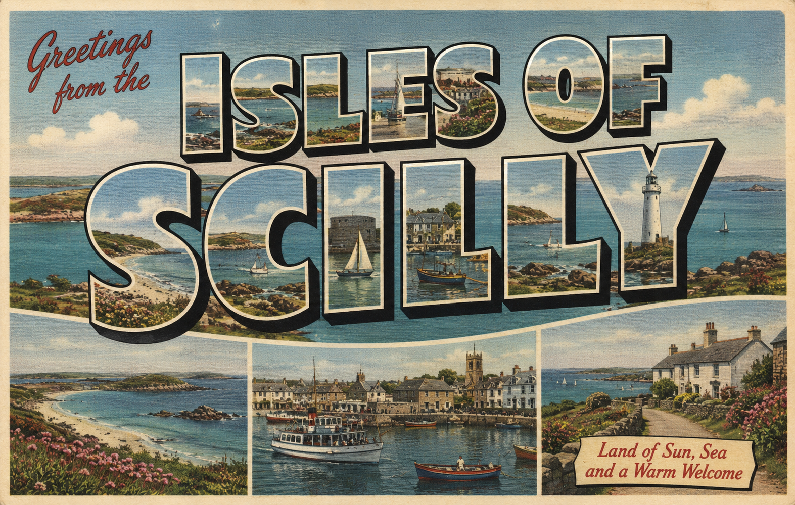
The Isles of Scilly are an exposed Atlantic archipelago situated approximately 30–40 nautical miles off the southwest coast of England. The coastline is highly indented, with a mix of low-lying granite islands, sandy bays, reefs, and numerous inter-island channels.
The area is strongly influenced by Atlantic swell and prevailing south-westerly weather systems. Despite this exposure, the islands also contain a number of locally sheltered anchorages and inshore passages where conditions can be significantly calmer under suitable wind and sea states.
Navigation in the area is typically shaped by tidal streams through the channels between islands, offshore reefs, and the interaction between swell and shallow sandbanks.
Local Operating Context (for Liveaboard Boaters)
Operationally, the Isles of Scilly require careful attention to exposure, tidal timing, and shelter selection. Conditions can vary markedly between islands, even within short distances, depending on swell direction and wind exposure.
Shelter is often highly aspect-dependent. While some anchorages may be well protected in certain conditions, they can become uncomfortable or untenable with shifts in wind or Atlantic swell direction.
Tidal movement through inter-island channels can be locally significant, particularly where water is constrained between islands or over shallow areas. Passage planning is therefore closely tied to both tide state and swell conditions.
Visibility can vary with Atlantic weather systems, including rain and sea mist, which may reduce visual references between islands. Navigation often relies on careful chart work and awareness of submerged hazards.
Typical Conditions
- Exposure to Atlantic swell, particularly on western and southern aspects
- Variable wind conditions influenced by passing Atlantic systems
- Tidal streams through channels between islands
- Occasional periods of reduced visibility from mist and rain
- Generally milder conditions in sheltered inner waters during settled weather
Access & Shelter
- Shelter varies significantly between different islands and aspects
- Outer Atlantic-facing shores are typically exposed to swell
- Inner channels and lee sides of islands may offer temporary refuge
- Sandbanks and reefs can affect both wave behaviour and anchoring suitability
- Many anchorages are weather-dependent and require flexible planning
Shore Interaction
- Landing conditions are highly dependent on swell and tide state
- Sandy beaches may offer access in calm conditions but can become surf-exposed quickly
- Rocky and reef-fringed areas may restrict landing opportunities
- Settlements are concentrated primarily on a small number of inhabited islands
Risk Factors
- Atlantic swell wrapping into apparently sheltered areas
- Submerged rocks, reefs, and shallow sandbanks
- Strong tidal flow in inter-island channels
- Rapid changes in exposure with shifting wind direction
- Limited alternative shelter in prolonged unsettled weather
Overall Character
The Isles of Scilly are generally regarded as a scenic but operationally complex cruising area. They combine periods of exceptional shelter in settled conditions with significant exposure to Atlantic weather systems. Effective navigation and anchoring often depend on selecting appropriate conditions rather than relying on fixed shelter locations.
Notable Locations
St Mary's – The largest and most populated island, forming the main administrative and transport hub of the archipelago. The main settlement is located on the island’s southern side, with nearby harbour facilities and moorings supporting visiting craft.
Hugh Town – The principal town area on St Mary’s, providing access to services, harbour infrastructure, and transport connections. It functions as the main focal point for visiting vessels and inter-island activity.
Tresco – A privately managed island known for sheltered gardens and inshore waters on its sheltered sides. Anchorage and access conditions vary depending on swell and wind direction.
St Agnes – An exposed southern island with more limited infrastructure, offering conditions that can range from sheltered in certain aspects to fully exposed under Atlantic swell.
Bryher – An island with varied coastline and multiple potential inshore anchorages depending on conditions. Exposure can differ significantly between its Atlantic and inner-facing sides.
Practical Mooring & Anchorage Locations
(General notes — conditions in the Isles of Scilly are highly weather-dependent and can change significantly with wind and swell direction.)
St Mary’s Harbour (Hugh Town area)
- Type: Harbour / Mooring Area
- Shelter: Generally offers the most consistent shelter within the islands in suitable conditions
- Exposure: Can be affected by swell and wind from exposed sectors
- Key Constraints: Limited space, tidal considerations, and operational harbour activity
- Traffic Level:Moderate to High (seasonally variable)
- Liveaboard Suitability:Medium to High
- Notes: Primary entry point for visiting vessels and main service hub for the islands.
St Mary’s Roads / Outer Anchorage Areas
- Type: Anchorage (Open / Semi-sheltered)
- Shelter: Condition-dependent; can be comfortable in settled weather
- Exposure:Vulnerable to Atlantic swell and wind shifts
- Key Constraints: Holding and comfort vary with seabed and conditions
- Traffic Level: Medium
- Liveaboard Suitability:Medium
- Notes:Common waiting or short-stay anchorage in suitable conditions.
Inter-Island Anchorages (general)
- Type:Various small bays and inlets
- Shelter:Often locally sheltered depending on wind direction
- Exposure:Can become exposed quickly with changing swell direction
- Key Constraints:Rocks, reefs, and limited swinging room in some areas
- Traffic Level:Low to Medium
- Liveaboard Suitability:Variable
- Notes:Require careful selection based on current conditions rather than fixed suitability.
Operational Support Infrastructure (Public Services)
Healthcare
Basic healthcare services are available on the inhabited islands, with more comprehensive facilities located on the mainland. Access to advanced care typically requires transport off the islands.
Emergency Services
Emergency response is provided locally where possible, supplemented by regional and national support. Maritime response may be influenced by distance from mainland resources and prevailing weather conditions.
Postal Services
Postal and delivery services operate primarily through the main inhabited islands, with logistics influenced by ferry and air connections.
Civic Services
Local administration is centred on the principal inhabited islands, with broader governance linked to mainland authorities.
Visitor Information
Visitor information is primarily available on St Mary's, particularly around the main settlement areas.
Practical Notes for Boaters
The Isles of Scilly are highly sensitive to weather windows. Short periods of settled conditions can provide excellent cruising and anchoring opportunities, while unsettled Atlantic conditions can significantly reduce available shelter.
Careful timing of passages, particularly to and from the mainland, is often a key operational consideration.
From the Project
Observations and notes from the ongoing boat conversion and coastal exploration project will be added here as they become available.
Related Knowledge Base
- Atlantic swell propagation in shallow island groups
- Reef and sandbank navigation
- Tidal flows in constrained archipelagos
- Harbour access in exposed coastal systems
Status
This is part of a growing coastal index. Content will be expanded over time as the project develops.