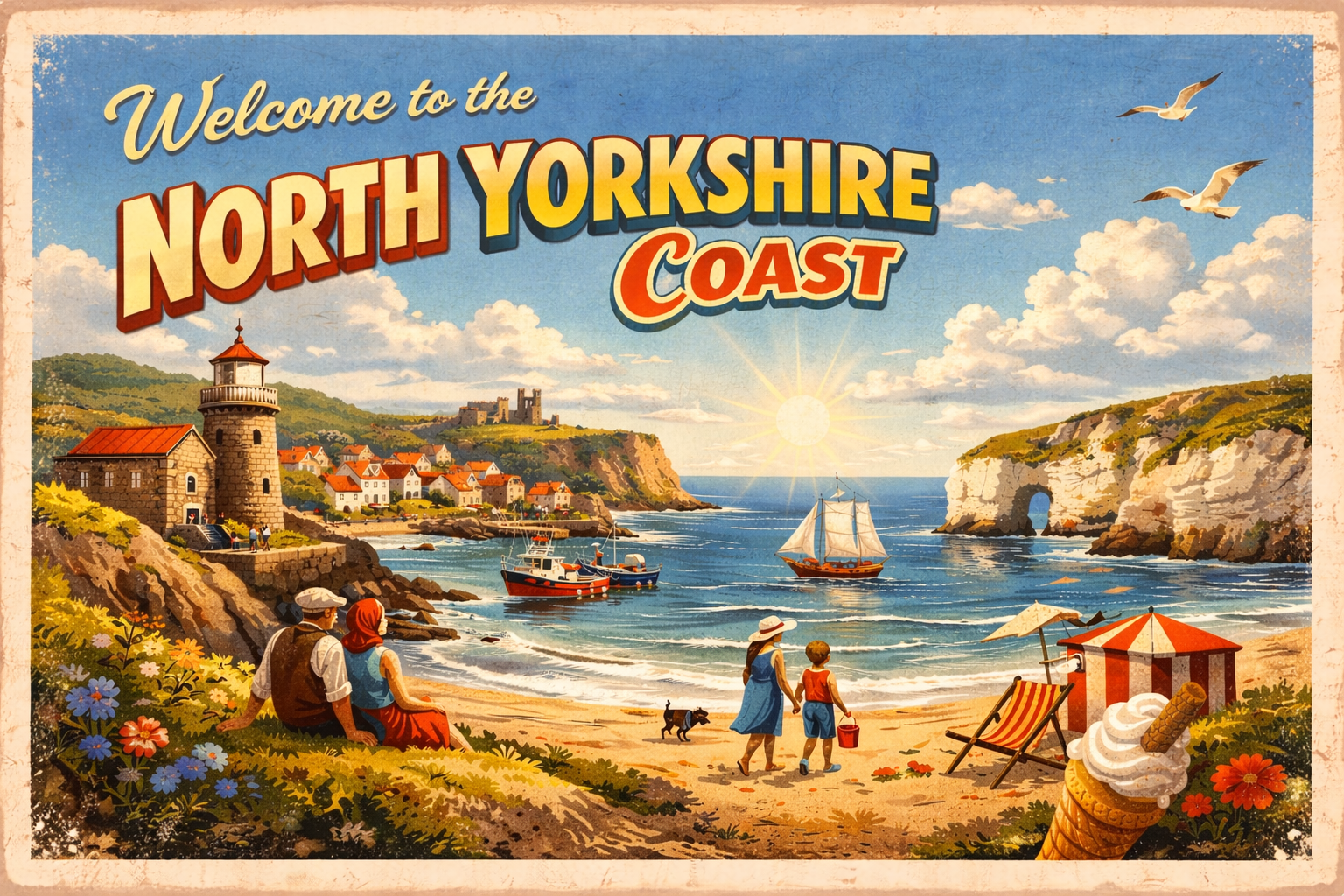
North Yorkshire Coast
Overview
The North Yorkshire coast faces the North Sea and is characterised by a mix of small harbours, rocky headlands, and open bays. Conditions can vary considerably with weather systems tracking in from the east and north-east. The coastline includes both sheltered inlets and more exposed stretches, with limited natural refuge in some areas.
Local Operating Context (for Liveaboard Boaters)
Typical Conditions
- North-easterly winds can produce a short, steep sea state
- Visibility may reduce quickly in coastal fog or rain bands
- Swells can wrap into bays even in otherwise calm weather
- Tidal streams are generally moderate but locally accelerated near headlands
Access & Shelter
- Harbour access may depend on tide height and sea state
- Some bays offer partial shelter but may be open to northerly swell
- Anchoring options can be limited by depth and seabed conditions
- Safe entry often depends on careful timing with weather windows
Shore Interaction
- Landing conditions can vary significantly with surf and tide
- Cliff-backed shores may restrict easy access inland
- Some sandy beaches are exposed at certain wind directions
- Settlements are typically small and spaced along the coast
Risk Factors
- Rapid changes in wind direction and sea state
- Exposure to Atlantic and North Sea weather systems
- Limited refuge between principal harbours
- Localised hazards near rocky outcrops and reefs
Overall Character
The coastline has a generally exposed and working maritime character, with conditions often shaped by the prevailing North Sea environment. While there are pockets of relative shelter, it is an area where careful planning and attention to forecasts are typically required.
Notable Locations
Whitby – A river estuary harbour setting where conditions at the entrance can be influenced by swell and tidal flow.
Scarborough – A larger bay area with variable shelter depending on wind direction and sea state.
Robin Hood’s Bay – A steeply shelving coastal inlet where landing conditions may be sensitive to swell.
Filey Bay – A broad open bay that can be exposed to easterly winds and long-period swell.
Practical Mooring & Anchorage Locations
Whitby Harbour
- Type: Harbour / Marina
- Shelter: Good shelter from westerly and south-westerly winds once inside the harbour.
- Exposure: Entrance can become hazardous in strong northerly or easterly swell.
- Key Constraints: Tidal access considerations at harbour entrance; commercial and fishing traffic present.
- Traffic Level: High
- Liveaboard Suitability: Medium
- Notes: One of the main refuge harbours on this coastline. Visitor berthing and services are available in season.
Scarborough Harbour
- Type: Harbour / Marina
- Shelter: Generally sheltered from westerly winds inside the harbour basins.
- Exposure: Surge and swell can affect conditions during strong easterlies or north-easterlies.
- Key Constraints: Busy harbour movements; tidal considerations for some berths.
- Traffic Level: High
- Liveaboard Suitability: Medium
- Notes: Established harbour with fuel, supplies, and shore access nearby. Conditions outside the harbour can deteriorate quickly in onshore weather.
Filey Bay
- Type: Anchorage
- Shelter: Partial shelter in offshore westerly conditions.
- Exposure: Open to easterly and north-easterly winds with significant swell exposure.
- Key Constraints: Open roadstead with limited protection; holding conditions vary.
- Traffic Level: Low
- Liveaboard Suitability: Low
- Notes: Occasionally used as a fair-weather stop. Not generally suitable for extended stays.
Bridlington Harbour
- Type: Harbour / Marina
- Shelter: Good shelter within the harbour from most offshore wind directions.
- Exposure: Entrance conditions worsen in strong easterly swell.
- Key Constraints: Tidal access considerations; active fishing and leisure traffic.
- Traffic Level: Medium
- Liveaboard Suitability: Medium
- Notes: Provides one of the more practical all-weather stops in the wider area. Shore facilities are readily accessible.
Runswick Bay
- Type: Anchorage
- Shelter: Some shelter in settled westerly weather.
- Exposure: Open to northerly and easterly swell.
- Key Constraints: Limited protection and variable seabed holding.
- Traffic Level: Low
- Liveaboard Suitability: Low
- Notes: Mainly suitable as a temporary daytime anchorage in calm conditions. Not considered a reliable refuge.
Staithes Harbour
- Type: Harbour
- Shelter: Moderate shelter inside the harbour from offshore winds.
- Exposure: Entrance affected by swell from northerly and easterly directions.
- Key Constraints: Restricted space; drying areas and tidal limitations.
- Traffic Level: Medium
- Liveaboard Suitability: Low
- Notes: Primarily a small traditional fishing harbour. Space for visiting vessels may be limited.
Operational Support Infrastructure (Public Services)
Healthcare
Healthcare provision across North Yorkshire is centred around larger towns and key service hubs, with rural communities and remote settlements supported through regional hospitals, local health centres, and outreach services across the county.
Emergency Services
Emergency response coverage is coordinated across a wide geographic area, with service access influenced by rural distances, upland terrain, and dispersed settlement patterns in both urban and countryside locations.
Postal Services
Postal services are primarily operated through market towns, villages, and local distribution centres, with extensive rural delivery networks serving communities throughout North Yorkshire.
Civic Services
Civic administration is managed through local authority structures serving both urban centres and rural areas, with public services delivered across a network of towns and administrative hubs.
Visitor Information
Visitor information is commonly available in major towns, national park gateways, and popular tourist destinations, while smaller rural locations may offer more limited or seasonal visitor facilities.
Practical Notes for Boaters
This section will be developed over time based on direct experience and relevant contributions. The focus is on practical usefulness rather than completeness.
From the Project
Observations and notes from the ongoing boat conversion and coastal exploration project will be added here as they become available.
Related Knowledge Base
- Coastal erosion processes
- Sedimentary rock formations
- Harbour types and access
- Tidal patterns and coastal conditions
Status
This is part of a growing coastal index. Content will be expanded over time as the project develops.