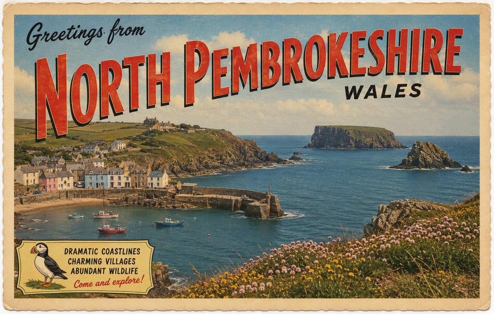
North Pembrokeshire
Overview
The North Pembrokeshire coast is characterised by exposed Atlantic-facing stretches, rocky headlands, and intermittent inlets. Conditions can vary significantly over short distances, with shelter often dependent on wind direction and tidal state.
Local Operating Context (for Liveaboard Boaters)
Typical Conditions
- Exposure to Atlantic swell is common along open sections of coast
- Strong tidal streams may be encountered around headlands and narrow channels
- Weather patterns can change quickly, particularly in unsettled conditions
- Some bays may offer temporarily calmer waters depending on wind and sea state
Access & Shelter
- Natural harbours are limited and widely spaced
- Occasional bays may provide partial or short-term shelter in suitable conditions
- Exposure can increase rapidly with wind shifts from offshore directions
- Headland areas generally require careful passage planning
Shore Interaction
- Coastline is predominantly rocky with few easy landing opportunities
- Small settlements are scattered and often set back from the shore
- Access points, where present, tend to be modest and condition-dependent
- Onshore movement may be constrained by terrain in many areas
Risk Factors
- Strong tidal races in certain channels and headland zones
- Exposure to Atlantic swell and wind-driven sea states
- Rocky outcrops and submerged hazards close to shore
- Limited safe refuge in prolonged adverse conditions
Overall Character
This stretch of coastline is generally demanding and exposed, with conditions that can shift rapidly. While there are occasional more sheltered pockets, these are often dependent on specific wind and tide combinations, and should not be relied upon consistently.
Notable Locations
St Davids Head — exposed headland with nearby tidal influences and complex sea conditions at times.
Ramsey Sound — narrow channel known for strong tidal streams and variable water states.
Strumble Head — prominent headland exposed to Atlantic swell and changing wind conditions.
Fishguard Bay — comparatively more sheltered bay, though conditions may still vary with prevailing weather.
Practical Mooring & Anchorage Locations
Fishguard Harbour (Goodwick Marina)
- Type: Harbour / Marina
- Shelter: Protected from all wind directions within harbour basin; good holding inside marina.
- Exposure: Outer approaches exposed to Atlantic swell in strong westerlies and northerlies.
- Key Constraints: Strong tidal streams on approach; ferry traffic movements; berth allocation requirements.
- Traffic Level: High
- Liveaboard Suitability: High
- Notes: Primary all-weather harbour for the North Pembrokeshire coast with reliable access. Goodwick Marina provides the most consistent sheltered berthing in the area.
Newport Bay (Traeth Mawr / River Nevern Estuary)
- Type: Anchorage / Estuary
- Shelter: Sheltered from south and south-west winds inside the bay; partial shelter from west in settled conditions.
- Exposure: Exposed to northerly and easterly winds; Atlantic swell can wrap into the bay.
- Key Constraints: Shallow drying areas; strong tidal flow in the estuary; limited protection in unsettled weather.
- Traffic Level: Low
- Liveaboard Suitability: Medium
- Notes: Pleasant anchorage in settled conditions with good holding over sand. Not suitable during strong northerly or easterly weather patterns.
Solva Harbour
- Type: Harbour / River Mooring
- Shelter: Well sheltered from easterly winds within the narrow inlet; moderate protection from other directions at higher tide states.
- Exposure: Vulnerable to swell and wind from west and south-west; drying harbour limits protection at low water.
- Key Constraints: Tidal access only; drying harbour; narrow entrance requiring careful timing.
- Traffic Level: Medium
- Liveaboard Suitability: Medium
- Notes: Attractive tidal harbour with limited berthing space and strong seasonal use. Suitable for short stays rather than continuous liveaboard reliance.
Abercastle Harbour
- Type: Harbour / Anchorage
- Shelter: Good shelter from easterly and south-easterly winds within the small inlet.
- Exposure: Exposed to north-westerly swell and strong westerly winds.
- Key Constraints: Very limited space; drying harbour; entry conditions dependent on swell and tide.
- Traffic Level: Low
- Liveaboard Suitability: Low
- Notes: Small traditional harbour primarily used by local craft. Offers limited but useful refuge in calm to moderate conditions.
Porthgain Harbour
- Type: Harbour
- Shelter: Reasonable shelter from easterly winds; partial protection from south-east in settled seas.
- Exposure: Exposed to west and north-west swell; harbour entrance becomes uncomfortable in onshore conditions.
- Key Constraints: Drying harbour; limited manoeuvring space; swell penetration in westerly weather.
- Traffic Level: Low
- Liveaboard Suitability: Low
- Notes: Historic working harbour with very limited modern berthing use. Best treated as a fair-weather refuge rather than a sustained mooring option.
Operational Support Infrastructure (Public Services)
Healthcare
Healthcare services in North Pembrokeshire are focused around local community facilities and regional healthcare centres, with more specialised provision accessed through larger towns elsewhere in Pembrokeshire and West Wales.
Emergency Services
Emergency service provision operates across a predominantly rural and coastal landscape, with response arrangements influenced by shoreline access, inland terrain, and the dispersed nature of settlements.
Postal Services
Postal services are supported through village post offices and service points in larger settlements, with wider delivery routes connecting remote coastal and countryside communities.
Civic Services
Civic administration is delivered through local authority and community-level structures, with public services shared across a number of towns and rural service centres within the region.
Visitor Information
Visitor information facilities are typically available in key coastal destinations and tourism centres, although provision in smaller communities may vary outside the main visitor season.
Practical Notes for Boaters
This section will be developed over time based on direct experience and relevant contributions. The focus is on practical usefulness rather than completeness.
From the Project
Observations and notes from the ongoing boat conversion and coastal exploration project will be added here as they become available.
Related Knowledge Base
- Coastal erosion processes
- Sedimentary rock formations
- Harbour types and access
- Tidal patterns and coastal conditions
Status
This is part of a growing coastal index. Content will be expanded over time as the project develops.