


The Cumbria Coast
Overview
The Cumbria Coast forms a largely open stretch of shoreline along the eastern Irish Sea, extending between Morecambe Bay and the Solway Firth. It is characterised by exposed coastal conditions, significant tidal movement, and relatively limited harbour infrastructure compared to more developed UK boating regions.
This coastline presents a more natural and less sheltered environment, with wide tidal flats, open approaches, and a generally sparse distribution of all-weather refuge points.
Local Operating Context (for Liveaboard Boaters)
Conditions along the Cumbria Coast are typically governed by exposure to prevailing westerly winds and the open Irish Sea. Shelter is limited outside of specific harbour locations, and sea state can build quickly in unsettled weather.
Tidal ranges are significant, with strong horizontal flows in certain areas and extensive drying zones, particularly toward the Solway Firth. Navigation requires careful tidal planning, especially where shifting sands and shallow gradients are present.
Longer-term liveaboard operation is feasible but may require strategic movement between available harbours due to limited sheltered anchorages.
Access & Shelter
- Coastline is largely exposed to westerly and south-westerly weather systems
- Natural shelter is limited, with protection mainly found within harbours
- Tidal flats and drying areas influence approach routes in several locations
- Entry points may require tidal timing depending on draft
Shore Interaction
- Mix of open beaches, estuarine areas, and low-lying coastal stretches
- Landing is often tide-dependent due to shallow gradients
- Some areas offer straightforward access, while others are constrained by mudflats
- Settlements are relatively dispersed along the coastline
Risk Factors
- Exposure to open sea conditions and rapidly building swell
- Strong tidal flows and large tidal ranges
- Shallow water and shifting sediment in estuarine sections
- Limited all-weather refuge along extended stretches
Overall Character
The Cumbria Coast has an open and lightly developed character, defined by exposure, tidal dynamics, and a relative absence of dense maritime infrastructure. It offers a more remote and planning-intensive boating environment compared to enclosed or heavily serviced coastal areas.
Notable Locations
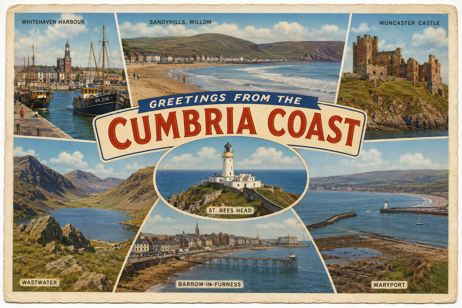
Whitehaven – Coastal harbour town with marina facilities and one of the primary access points along this stretch.
Workington – Commercial port with limited leisure access but regional significance.
Maryport – Smaller harbour with local boating activity and tidal considerations.
Practical Mooring & Anchorage Locations
Whitehaven Harbour & Marina
- Type: Marina / Harbour
- Shelter: Protected from E, SE, and partial S winds
- Exposure: Vulnerable to W and NW swell on approach
- Key Constraints: Tidal approach via harbour entrance; swell can affect entry in strong westerlies; commercial shipping movements
- Traffic Level: Medium
- Liveaboard Suitability: High
- Notes: One of the most secure all-weather harbours on this stretch. Marina provides stable long-stay options with good shore access.
Workington Harbour
- Type: Harbour / River Estuary Mooring
- Shelter: Good shelter from E through S winds
- Exposure: Open to W and NW swell; outer approaches can be uncomfortable in strong winds
- Key Constraints: Commercial port operations; tidal access required; limited leisure facilities
- Traffic Level: High
- Liveaboard Suitability: Medium
- Notes: Primarily an industrial port with restricted leisure mooring availability. Best suited for short stays or transit stops.
Maryport Harbour
- Type: Harbour / Marina
- Shelter: Sheltered from E and SE winds
- Exposure: W and NW winds can create swell in harbour entrance
- Key Constraints: Strong tidal range; drying constraints in outer harbour areas; entrance timing important
- Traffic Level: Medium
- Liveaboard Suitability: Medium
- Notes: Small but established leisure harbour with seasonal variability in comfort. Suitable for short to medium stays.
Silloth Harbour
- Type: Harbour / Marina
- Shelter: Good shelter from E through S winds within basin
- Exposure: Open Solway Firth conditions in strong W and NW winds
- Key Constraints: Significant tidal range; approach requires careful navigation across shifting sands and channels
- Traffic Level: Low
- Liveaboard Suitability: Medium
- Notes: Quiet harbour with basic marina facilities and strong tidal dependence. Generally calm inside but exposed approaches.
Barrow-in-Furness (Ramsden Dock / Marina Area)
- Type: Marina / Harbour
- Shelter: Well protected from most directions once inside dock system
- Exposure: Outer approaches exposed to Morecambe Bay conditions and W winds
- Key Constraints: Tidal access via channels; commercial port activity; restricted navigation areas
- Traffic Level: High
- Liveaboard Suitability: High
- Notes: One of the more secure long-stay options on the coast. Good infrastructure but industrial surroundings.
Ravenglass Estuary
- Type: Estuary / River Mooring
- Shelter: Sheltered from E and SE winds within inner estuary
- Exposure: Exposed outer estuary and bar in W and SW conditions
- Key Constraints: Shifting sandbanks; tidal entry critical; very limited services
- Traffic Level: Low
- Liveaboard Suitability: Low to Medium
- Notes: Scenic but operationally constrained estuary with limited infrastructure. Best suited to short stays in settled weather windows.
Operational Support Infrastructure (Public Services)
Healthcare Access
Major healthcare services are available within regional coastal towns and inland centres serving the wider area.
Emergency Services
Regional police, coastguard, and emergency response services operate along the coastline with coverage focused on populated areas.
Postal & Essentials
Postal and essential services are available in main towns, with more limited access in rural stretches.
Civic Services
Local authority services are provided by regional councils covering the Cumbrian coastline and adjacent inland areas.
Practical Notes for Boaters
This coastline rewards careful passage planning and awareness of tidal constraints. Harbour-based operation is often the most practical approach, with relatively few options for casual anchoring. Weather windows play a significant role in safe movement along the coast.
From the Project
This section will be developed over time based on field observations and ongoing coastal exploration activity.
Related Knowledge Base
Fjord-like estuarine systems
Commercial shipping lane management
Tidal flow in enclosed sea loughs
Marina infrastructure in sheltered waters
Coastal urban maritime interfaces
Status
This section forms part of a structured coastal operational index for liveaboard boating use and will be refined over time.
