


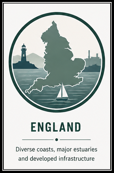
England’s coastline is highly varied, combining exposed open coasts, major estuaries, and some of the most developed boating infrastructure in the UK. Conditions range from the strong tidal systems of the Bristol Channel and English Channel to the shifting shallows and river networks of the east coast.
This section is designed for liveaboard and cruising boaters seeking practical, experience-based information. Each area focuses on real-world operating conditions, including access to shelter, tidal influence, and day-to-day usability afloat.
How to Use This Section
- Review coastal character and exposure
- Understand local tidal behaviour and sea conditions
- Assess shelter, harbour access, and anchorage options
- Consider infrastructure and shore access
- Identify key risks before planning movement
Coastal Regions
North-West England
- Cumbria Coast – Exposed coastline with limited shelter and strong tidal influence from the Irish Sea
- Morecambe Bay – Extremely shallow bay with vast tidal range, shifting sands, and highly constrained navigation
- Lancashire Fylde Coast – Open and gently shelving coast with limited shelter and exposure to Irish Sea conditions
- Ribble Estuary – Shallow, shifting estuary with strong tides and restricted navigable channels
- Merseyside Coast – Heavily managed estuarine coastline with strong tidal flows and major port infrastructure
- Wirral & Dee Estuary (England side) – Broad, shallow estuary with extensive sandbanks and limited deep-water access
South-West & Bristol Channel
- Somerset Coast – Extreme tidal range with strong currents, mudflats, and very limited access windows
- North Devon (Bristol Channel) – Tidal-heavy coastline with strong flows, surf conditions, and constrained harbour access
- North Devon (Atlantic) – More exposed Atlantic-facing coast with swell influence and limited refuge
- North Cornwall – Rugged and exposed coastline with heavy surf and very few safe landing points
- West Cornwall – Transitional coastline with Atlantic exposure balanced by key harbour refuges
- Isles of Scilly – a small UK archipelago off Cornwall known for reefs, strong tides, and historic shipwrecks.
- Falmouth & Helford – Well-sheltered natural harbour system with excellent access and reduced exposure
- South Cornwall – Indented coastline with numerous harbours offering relatively good shelter
- Plymouth & South Devon – Highly usable cruising area with strong infrastructure and a mix of sheltered waters
- Torbay & Teignmouth – Open bay with partial shelter and harbour access dependent on conditions
Central South Coast
- Lyme Bay – Wide open bay with moderate exposure and limited all-weather shelter
- Weymouth & Portland – Mixed conditions with strong tidal effects near Portland and good harbour refuge
- Poole Harbour – Large, sheltered natural harbour with strong tidal flows at the entrance
- Bournemouth & Christchurch – Open coastline with limited shelter outside small harbour and river access
- Solent West – Sheltered and busy cruising waters with strong tides and extensive facilities
- Solent Central – Densely used, well-protected waters with complex tidal streams and excellent access
- Solent East – Transitional area with increasing exposure and fewer sheltered options
- Isle of Wight – Varied coastline combining sheltered Solent waters with exposed southern shores
South-East England
- West Sussex Coast – Generally exposed coastline with few natural harbours and limited shelter
- Brighton & Lewes Coast – Open coast with marina access but little natural protection
- East Sussex Coast – Exposed shoreline with limited refuge outside key harbour locations
- Kent South Coast – Mixed coastline with strong tidal streams and a combination of exposure and harbour access
- North Kent & Thames Estuary – Complex estuarine system with strong tides, heavy traffic, and extensive shallows
East Coast & Estuaries
- Essex North – Low-lying coast with shallow approaches and limited shelter outside harbours
- Essex Rivers – Intricate network of tidal rivers offering sheltered cruising with careful navigation
- Suffolk Coast – Exposed coastline with shifting shingle banks and limited harbour entry points
- Norfolk Coast – Very shallow and changeable coastline with restricted access and tidal constraints
- The Wash – Large, shallow bay with significant tidal range and constantly shifting channels
- Lincolnshire Coast – Open and low-lying coast with limited shelter and shallow approaches
- Humber Estuary – Major tidal estuary with strong currents, commercial traffic, and defined channels
North-East England
- East Yorkshire Coast – Exposed coastline with few harbours and significant erosion in places
- North Yorkshire Coast – Cliff-lined coast with limited access points and exposure to North Sea conditions
- Tees & Hartlepool – Industrialised coastline with defined harbour access and strong tidal influence
- Durham Coast – Short, exposed stretch with minimal shelter and limited landing options
- Tyne & Wear Coast – Developed estuarine access with strong tides and reliable harbour facilities
- Northumberland Coast – Open and scenic coastline with moderate exposure and widely spaced harbours
At a Glance
- Strongest Tidal Ranges: Bristol Channel and Severn approaches
- Best Sheltered Cruising: Solent and South Coast harbours
- Shallow & Complex Waters: East coast estuaries and The Wash
- Most Developed Infrastructure: South Coast and Thames Estuary
- More Exposed Coasts: Northumberland and parts of the south-west
Who This Is For
- Liveaboard and cruising boaters
- Coastal passage planning
- Understanding regional operating constraints
This is part of an evolving coastal index. Content will continue to develop based on direct experience and contributions.

Comments